
| Distance / Altitude | Location | Report Date / Time | Live Weather | Wind | Gusts | Temp. | Visibility | Cloud |
|---|---|---|---|---|---|---|---|---|
| 21 km N / 7 m | DANang (Vietnam) | 2024-04-20 10:00 local (2024/04/20 03:00 GMT) | - | light winds from the ESE (7 km/h at 110) | 32°C | 40 km | mostly cloudy | |
| 24 km WNW / 676 m | Da Nang International Airport (Viet Nam) | 2024-04-20 09:30 local (2024/04/20 02:30 GMT) | - | light winds from the SSW.(Wind varies from 150 to 230 degs) (9 km/h at 200) | — | 0.0 | ||
| 27 km NW / 640 m | SonTra-DaNang (Vietnam) | 2024-04-20 10:00 local (2024/04/20 03:00 GMT) | - | strong winds from the S (48 km/h at 179) | 28°C | - | - - 0 | |
| 28 km NW / 15 m | SHIP6647 (Marine) | 2024-04-20 09:00 local (2024/04/20 02:00 GMT) | - (- km/h at -) | — | - km | |||
| 91 km WNW / 17 m | Hue Phubai Airport (Viet nam) | 2024-04-20 09:30 local (2024/04/20 02:30 GMT) | - | light winds from the SSW (11 km/h at 200) | — | 0.0 |
| Contours: | Roads & Rivers: | Select a
tide station / surf break / city |
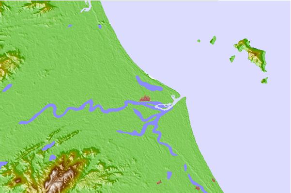
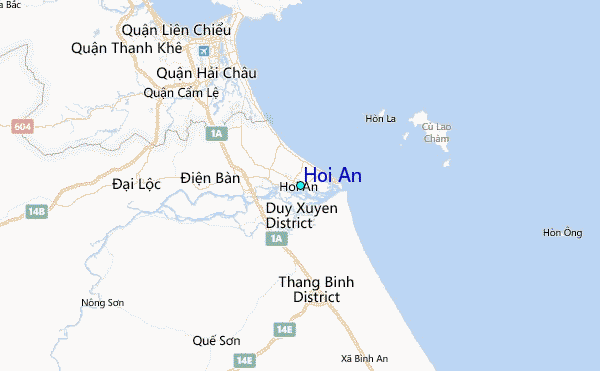
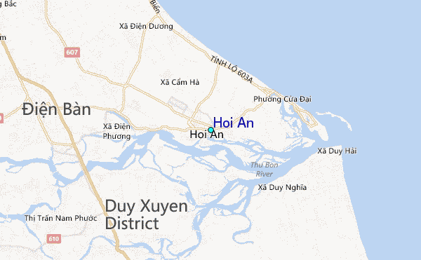
Use this relief map to navigate to tide stations, surf breaks and cities that are in the area of Hoi An.
Other Nearby Locations' tide tables and tide charts to Hoi An:
click location name for more details
 Surf breaks close to Hoi An:
|
||
|---|---|---|
| Closest surf break | Cue Dai Beach | 3 mi |
| Second closest surf break | China Beach | 7 mi |
| Third closest surf break | Non Nuoc | 11 mi |
| Fourth closest surf break | My Khe / Da Nang | 14 mi |
| Fifth closest surf break | Nam O Point | 21 mi |

 Nearest
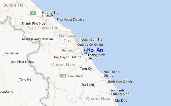