
| Distance / Altitude | Location | Report Date / Time | Live Weather | Wind | Gusts | Temp. | Visibility | Cloud |
|---|---|---|---|---|---|---|---|---|
| 272 km NNE / 3 m | BUOY-46070 (Marine) | 2026-06-08 21:20 local (2026/06/09 06:20 GMT) | - (- km/h at -) | — | - | |||
| 479 km SSE / 15 m | SHIP7283 (Marine) | 2026-06-08 18:00 local (2026/06/09 03:00 GMT) | - (- km/h at -) | — | - km | |||
| 498 km ESE / 3 m | Western Aleutians Buoy (Marine) | 2026-06-08 21:20 local (2026/06/09 06:20 GMT) | - (14 km/h at -) | — | - | |||
| 480 km SSE / 15 m | SHIP7611 (Marine) | 2026-06-08 17:00 local (2026/06/09 02:00 GMT) | - (- km/h at -) | — | - km | |||
| 480 km SSE / 15 m | SHIP12093 (Marine) | 2026-06-08 17:00 local (2026/06/09 02:00 GMT) | - (- km/h at -) | — | - km | |||
| 493 km SSE / 3 m | SHIP2922 (Marine) | 2026-06-08 19:00 local (2026/06/09 04:00 GMT) | - (- km/h at -) | — | - | |||
| 493 km SSE / 15 m | SHIP9404 (Marine) | 2026-06-08 19:00 local (2026/06/09 04:00 GMT) | - (- km/h at -) | — | - km | |||
| 493 km SSE / 3 m | SHIP8461 (Marine) | 2026-06-08 19:00 local (2026/06/09 04:00 GMT) | - (- km/h at -) | — | - | |||
| 493 km SSE / 3 m | SHIP9949 (Marine) | 2026-06-08 19:00 local (2026/06/09 04:00 GMT) | - (- km/h at -) | — | - | |||
| 493 km SSE / 15 m | SHIP5990 (Marine) | 2026-06-08 19:00 local (2026/06/09 04:00 GMT) | - (- km/h at -) | — | - km |
| Contours: | Roads & Rivers: | Select a
tide station / surf break / city |
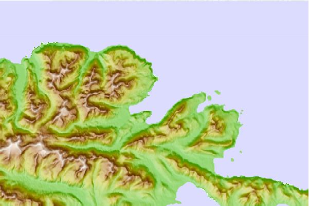
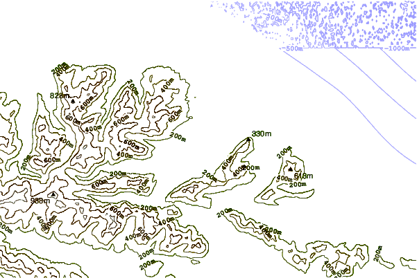
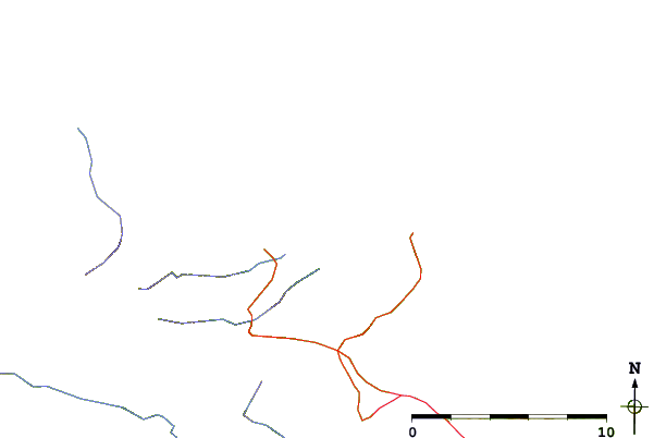
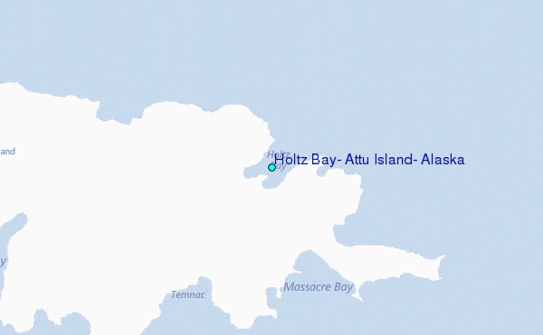
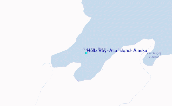
Use this relief map to navigate to tide stations, surf breaks and cities that are in the area of Holtz Bay, Attu Island, Alaska.
Other Nearby Locations' tide tables and tide charts to Holtz Bay, Attu Island, Alaska:
click location name for more details
 Surf breaks close to Holtz Bay, Attu Island, Alaska:
|
||
|---|---|---|
| Closest surf break | Khalaktyrsky Beach | 595 mi |
| Second closest surf break | Monashka Bay | 1377 mi |
| Third closest surf break | Termination Point | 1378 mi |
| Fourth closest surf break | Mill Bay | 1380 mi |
| Fifth closest surf break | Fossil Beach Kodiak | 1380 mi |


 Nearest
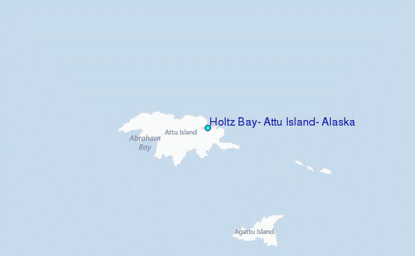