
| Distance / Altitude | Location | Report Date / Time | Live Weather | Wind | Gusts | Temp. | Visibility | Cloud |
|---|---|---|---|---|---|---|---|---|
| 50 km SSE / 184 m | Wemindji Airport (Quebec) | 2024-04-24 16:00 local (2024/04/24 20:00 GMT) | - | moderate winds from the WNW (22 km/h at 290) | — | 24 | ||
| 96 km ENE / 217 m | La Grande Rivier Airport (Quebec) | 2024-04-24 16:00 local (2024/04/24 20:00 GMT) | - | moderate winds from the W (24 km/h at 280) | -6°C | 24 | few | |
| 97 km ENE / 195 m | LA Grande Riviere A- Que (Canada) | 2024-04-24 17:00 local (2024/04/24 21:00 GMT) | no report | moderate winds from the W (22 km/h at 270) | -6°C | 44 km | - clear - | |
| 220 km S / 215 m | Waskaganish Airport (Quebec) | 2024-04-24 16:00 local (2024/04/24 20:00 GMT) | - | moderate winds from the WNW (20 km/h at 290) | -8°C | 24 | few | |
| 222 km NNE / 164 m | Kuujjuarapik Airport (Quebec) | 2024-04-24 16:00 local (2024/04/24 20:00 GMT) | Clear | light winds from the W (17 km/h at 280) | -9°C | 14 |
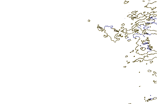
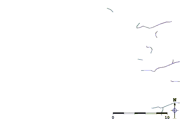
| Contours: | Roads & Rivers: | Select a
tide station / surf break / city |
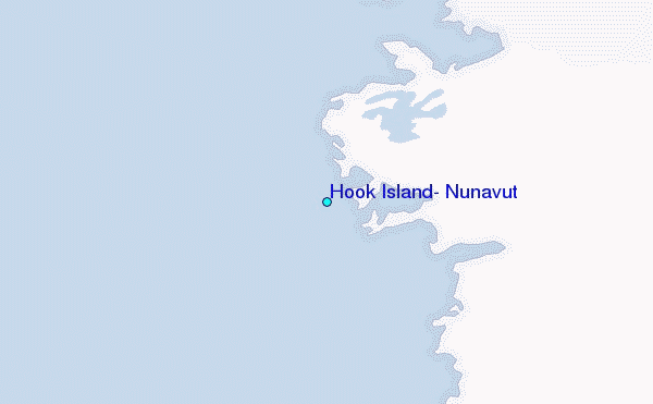
Use this relief map to navigate to tide stations, surf breaks and cities that are in the area of Hook Island, Nunavut.
Other Nearby Locations' tide tables and tide charts to Hook Island, Nunavut:
click location name for more details
 Surf breaks close to Hook Island, Nunavut:
|
||
|---|---|---|
| Closest surf break | Marathon | 457 mi |
| Second closest surf break | Alona Bay | 498 mi |
| Third closest surf break | Manitoulin Island | 553 mi |
| Fourth closest surf break | Bayfield | 561 mi |
| Fifth closest surf break | Grand Marias | 561 mi |

 Nearest
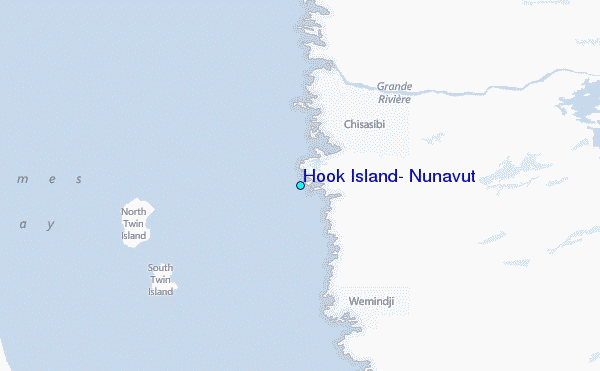