
| Distance / Altitude | Location | Report Date / Time | Live Weather | Wind | Gusts | Temp. | Visibility | Cloud |
|---|---|---|---|---|---|---|---|---|
| 7 km WNW / 3 m | SHIP1850 (Marine) | 2024-04-23 09:00 local (2024/04/23 09:00 GMT) | - (- km/h at -) | — | - | |||
| 14 km NW / 5 m | Hofn (Iceland) | 2024-04-23 09:00 local (2024/04/23 09:00 GMT) | - | calm (4 km/h at 290) | 7°C | - | no observation | |
| 53 km WSW / 17 m | Jökulsárlón (Iceland) | 2024-04-23 10:00 local (2024/04/23 10:00 GMT) | - | light winds from the W (11 km/h at 277) | 7°C | - | - - 0 | |
| 69 km SSE / 15 m | hy2b345E64N (Marine) | 2024-04-23 07:37 local (2024/04/23 07:37 GMT) | light winds from the ENE (11 km/h at 78) | — | - km | |||
| 72 km SE / 15 m | hy2b346E64N (Marine) | 2024-04-23 07:37 local (2024/04/23 07:37 GMT) | light winds from the ENE (12 km/h at 72) | — | - km |
| Contours: | Roads & Rivers: | Select a
tide station / surf break / city |
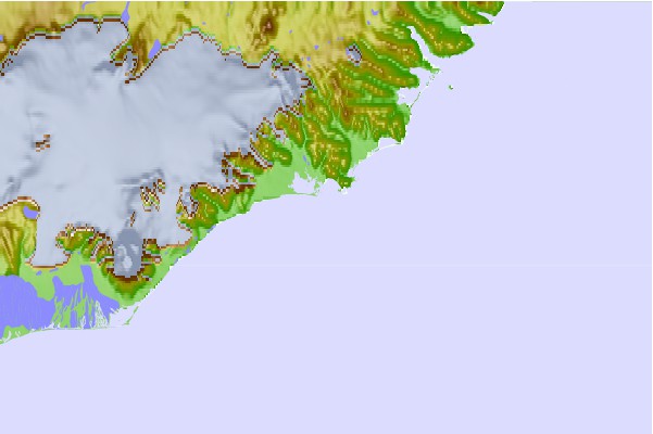
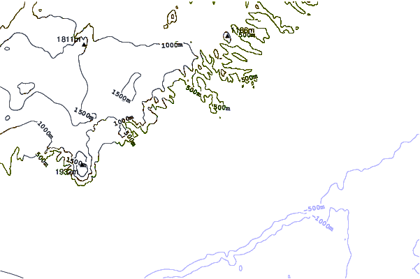
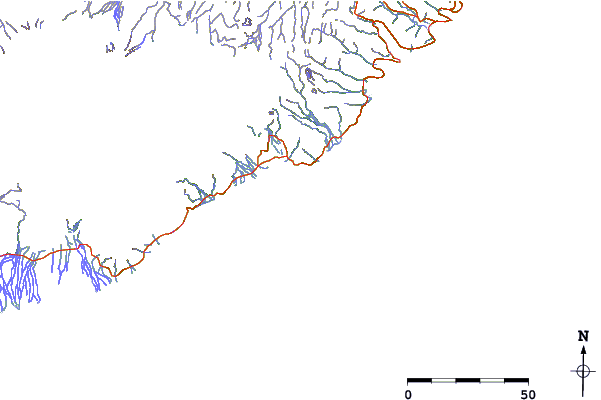
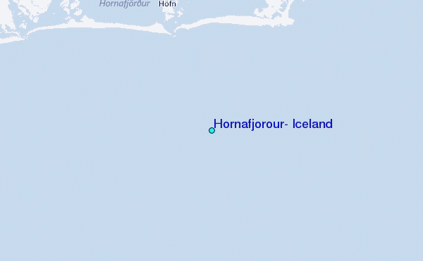
Use this relief map to navigate to tide stations, surf breaks and cities that are in the area of Hornafjörður, Iceland.
Other Nearby Locations' tide tables and tide charts to Hornafjorour, Iceland:
click location name for more details
 Surf breaks close to Hornafjorour, Iceland:
|
||
|---|---|---|
| Closest surf break | Eyvik | 149 mi |
| Second closest surf break | Þorlákshöfn or Porlackshofn | 190 mi |
| Third closest surf break | Hafnarfjordur | 208 mi |
| Fourth closest surf break | Grotta | 208 mi |
| Fifth closest surf break | Grindavik Lighthouse ( Hopsnesta) | 222 mi |

 Nearest
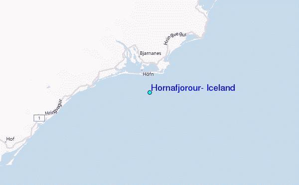