
| Distance / Altitude | Location | Report Date / Time | Live Weather | Wind | Gusts | Temp. | Visibility | Cloud |
|---|---|---|---|---|---|---|---|---|
| 4 km SE / 13 m | Humacao (Puerto Rico) | 2024-04-18 06:37 local (2024/04/18 10:37 GMT) | dry | calm (0 km/h at 0) | 23°C | - | - - 0 | |
| 8 km N / 424 m | Naguabo (Puerto Rico) | 2024-04-18 06:30 local (2024/04/18 10:30 GMT) | dry | calm (0 km/h at 272) | 22°C | - | - - 0 | |
| 17 km S / 3 m | SHIP425 (Marine) | 2024-04-18 05:00 local (2024/04/18 09:00 GMT) | - (- km/h at -) | 23°C | - | |||
| 21 km W / 196 m | Caguas (Puerto Rico) | 2024-04-18 06:21 local (2024/04/18 10:21 GMT) | dry | calm (5 km/h at 234) | 23°C | - | - - 0 | |
| 23 km ENE / 12 m | Roosevelt Roads Naval Station Airport (Puerto rico) | 2024-04-18 06:21 local (2024/04/18 10:21 GMT) | Dry and partly cloudy | light winds from the NW (6 km/h at 320) | — | 16 | broken broken broken |
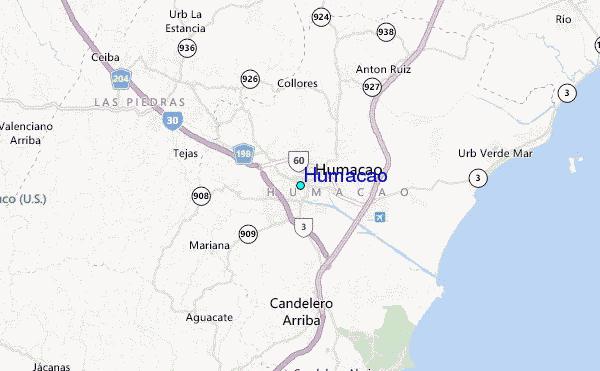
| Contours: | Roads & Rivers: | Select a
tide station / surf break / city |
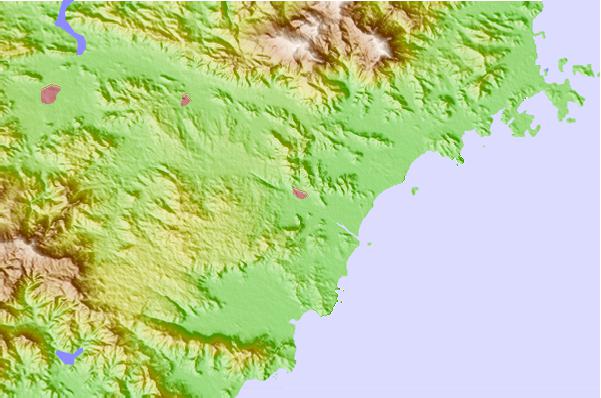
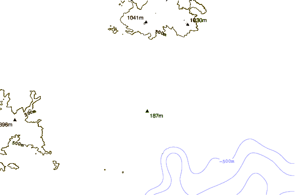
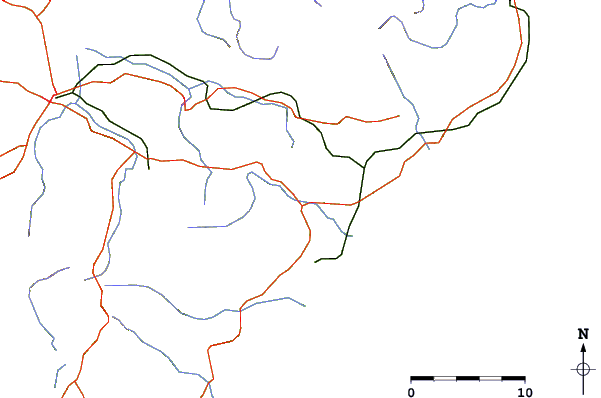
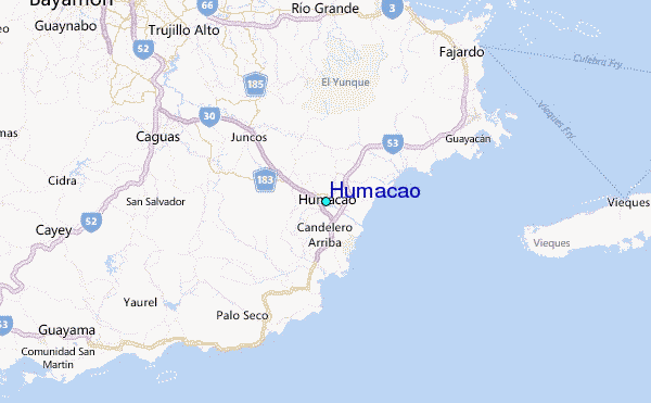
Use this relief map to navigate to tide stations, surf breaks and cities that are in the area of Humacao.
Other Nearby Locations' tide tables and tide charts to Humacao:
click location name for more details
 Surf breaks close to Humacao:
|
||
|---|---|---|
| Closest surf break | Palmas Del Mar (Bohio) | 5 mi |
| Second closest surf break | The Search | 6 mi |
| Third closest surf break | Playa El Cocal | 9 mi |
| Fourth closest surf break | Sharky (Playa Mario) | 11 mi |
| Fifth closest surf break | Los Bohios | 12 mi |

 Nearest
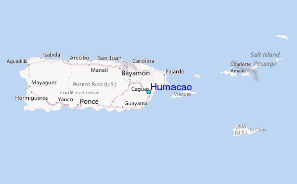