
| Distance / Altitude | Location | Report Date / Time | Live Weather | Wind | Gusts | Temp. | Visibility | Cloud |
|---|---|---|---|---|---|---|---|---|
| 23 km ENE / 15 m | SHIP3704 (Marine) | 2026-06-09 00:00 local (2026/06/09 07:00 GMT) | light winds from the WSW (14.76 km/h at 240) | — | - km | |||
| 42 km NE / 216 m | Cumshewa Island Airport (British Columbia) | 2026-06-09 01:00 local (2026/06/09 08:00 GMT) | - | light winds from the NNE (6 km/h at 30) | 11°C | 0.0 | ||
| 43 km NE / 14 m | Cumshewa Island Airport (Canada) | 2026-06-09 02:00 local (2026/06/09 09:00 GMT) | no report | calm (4 km/h at 160) | 12°C | - | - | |
| 51 km SW / 3 m | West Moresby Buoy (Marine) | 2026-06-09 02:00 local (2026/06/09 09:00 GMT) | moderate winds from the W (22 km/h at 280) | 10°C | - | |||
| 57 km NNE / 217 m | Sandspit Airport (British Columbia) | 2026-06-09 01:40 local (2026/06/09 08:40 GMT) | Light rain | moderate winds from the W (20 km/h at 270) | 11°C | 14 | overcast | |
| 23 km ENE / 3 m | SHIP11261 (Marine) | 2026-06-09 01:00 local (2026/06/09 08:00 GMT) | light winds from the SW (15 km/h at 220) | 10°C | - | |||
| 23 km ENE / 3 m | SHIP5450 (Marine) | 2026-06-09 00:00 local (2026/06/09 07:00 GMT) | light winds from the WSW (15 km/h at 240) | 10°C | - | |||
| 23 km ENE / 15 m | SHIP6935 (Marine) | 2026-06-09 00:00 local (2026/06/09 07:00 GMT) | light winds from the WSW (14.76 km/h at 240) | — | - km | |||
| 23 km ENE / 15 m | SHIP3172 (Marine) | 2026-06-09 01:00 local (2026/06/09 08:00 GMT) | light winds from the SW (14.76 km/h at 220) | — | - km | |||
| 23 km ENE / 15 m | SHIP2999 (Marine) | 2026-06-09 00:00 local (2026/06/09 07:00 GMT) | light winds from the WSW (14.76 km/h at 240) | — | - km |
| Contours: | Roads & Rivers: | Select a
tide station / surf break / city |
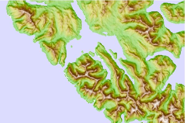
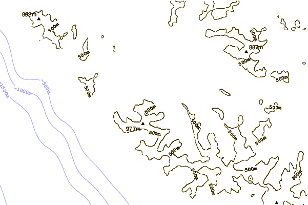
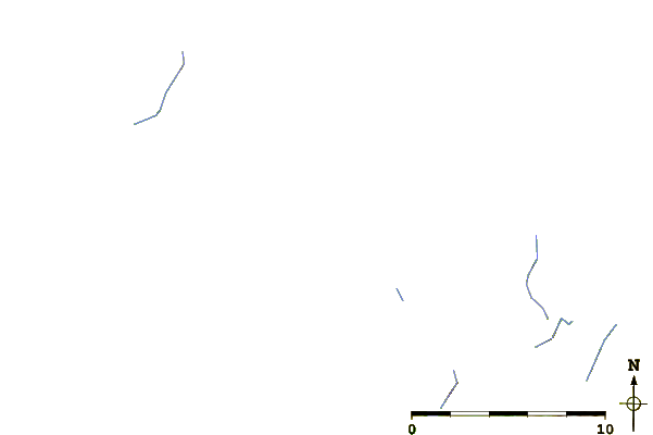
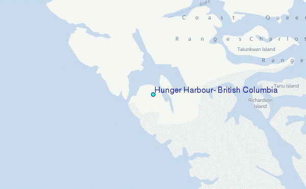
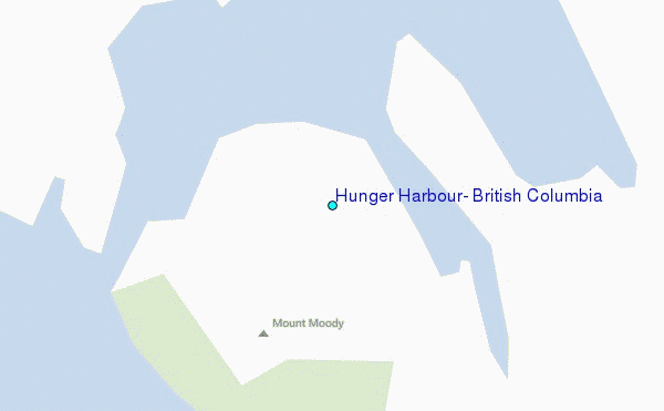
Use this relief map to navigate to tide stations, surf breaks and cities that are in the area of Hunger Harbour, British Columbia.
Other Nearby Locations' tide tables and tide charts to Hunger Harbour, British Columbia:
click location name for more details
 Surf breaks close to Hunger Harbour, British Columbia:
|
||
|---|---|---|
| Closest surf break | Tow Hill Beach | 93 mi |
| Second closest surf break | Lepus Beach (Haida-Gwaii) | 106 mi |
| Third closest surf break | Nootka Island (Calvin Bay) | 310 mi |
| Fourth closest surf break | Tofino (North Chestermans Beach) | 367 mi |
| Fifth closest surf break | South Chesterman Beach | 367 mi |


 Nearest
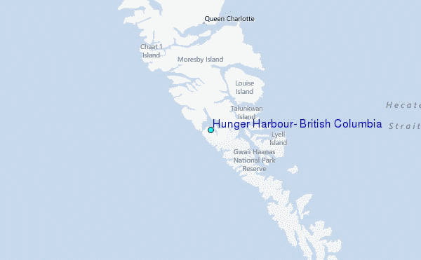