
| Distance / Altitude | Location | Report Date / Time | Live Weather | Wind | Gusts | Temp. | Visibility | Cloud |
|---|---|---|---|---|---|---|---|---|
| 69 km SSE / 9 m | Hall Beach (Canada) | 2026-06-09 00:00 local (2026/06/09 04:00 GMT) | no report | wind obs. (22 kph from 300 degs) was rejected (- km/h at -) | 1°C | - | - - - | |
| 70 km SSE / 210 m | Hall Beach Airport (N.w. Territories) | 2026-06-08 23:00 local (2026/06/09 03:00 GMT) | Clear | light winds from the SSE (7 km/h at 150) | -1°C | 14 | ||
| 335 km SW / 17 m | Kugaaruk Climate (Canada) | 2026-06-09 00:00 local (2026/06/09 04:00 GMT) | no report | wind obs. (7 kph from 10 degs) was rejected (- km/h at -) | 2°C | - | - no observation - | |
| 393 km NNE / 217 m | Pond Inlet Airport (N.w. Territories) | 2026-06-08 23:00 local (2026/06/09 03:00 GMT) | Dry and cloudy | wind obs. (7 kph from 240 degs) was rejected (- km/h at -) | 1°C | 14 | broken overcast | |
| 395 km NNE / 62 m | Pond Inlet A- NU (Canada) | 2026-06-09 00:00 local (2026/06/09 04:00 GMT) | no report | wind obs. (7 kph from 230 degs) was rejected (- km/h at -) | 2°C | - | - | |
| 421 km NW / 10 m | Arctic Bay Cs- NU (Canada) | 2026-06-08 23:00 local (2026/06/09 03:00 GMT) | no report | wind obs. (14 kph from 320 degs) was rejected (- km/h at -) | 2°C | - | - no observation - | |
| 422 km NW / 2 m | Arctic Bay Airport (N.w. Territories) | 2026-06-08 23:00 local (2026/06/09 03:00 GMT) | - | strong winds from the S (41 km/h at 170) | 4°C | 0.0 | ||
| 462 km WSW / 191 m | Spence Bay Airport (N.w. Territories) | 2026-06-08 23:00 local (2026/06/09 03:00 GMT) | - | moderate winds from the SSE (28 km/h at 150) | 6°C | 24 | few | |
| 463 km WSW / 27 m | Taloyoak (Canada) | 2026-06-08 23:00 local (2026/06/09 03:00 GMT) | - | moderate winds from the SSE (26 km/h at 150) | 6°C | 44 km | - clear - | |
| 507 km SSW / 18 m | Wager Bay (Nunavut) | 2026-06-08 23:00 local (2026/06/09 03:00 GMT) | - | light winds from the SE (11 km/h at 140) | 2°C | 0.0 |
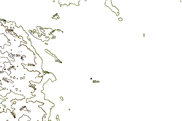
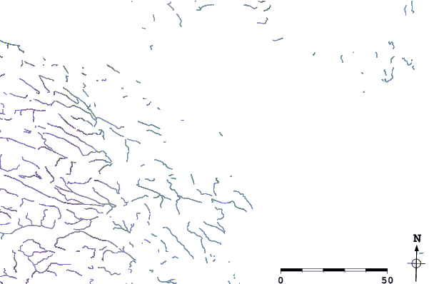
| Contours: | Roads & Rivers: | Select a
tide station / surf break / city |
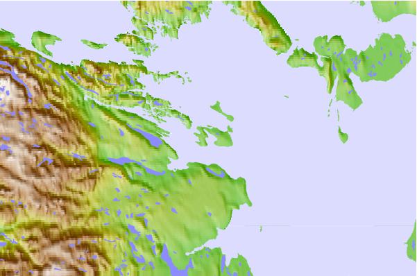
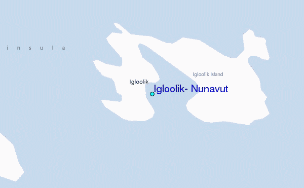
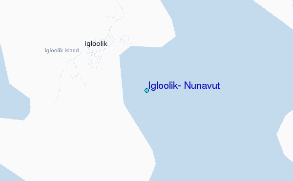
Use this relief map to navigate to tide stations, surf breaks and cities that are in the area of Igloolik, Nunavut.
Other Nearby Locations' tide tables and tide charts to Igloolik, Nunavut:
click location name for more details
 Surf breaks close to Igloolik, Nunavut:
|
||
|---|---|---|
| Closest surf break | Marathon | 1436 mi |
| Second closest surf break | Keweenaw Peninsula | 1530 mi |
| Third closest surf break | Alona Bay | 1538 mi |
| Fourth closest surf break | Apostle Islands | 1570 mi |
| Fifth closest surf break | Au Sable Point | 1576 mi |


 Nearest
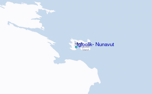