
| Distance / Altitude | Location | Report Date / Time | Live Weather | Wind | Gusts | Temp. | Visibility | Cloud |
|---|---|---|---|---|---|---|---|---|
| 78 km SSE / 372 m | Raynesford (Montana) (Montana) | 2024-04-18 23:55 local (2024/04/19 03:55 GMT) | Dry and cloudy | light winds from the NW (7 km/h at 320) | -1°C | 16 | broken overcast | |
| 80 km SSW / 1 m | Baie-Saint-Paul (Canada) | 2024-04-19 01:14 local (2024/04/19 05:14 GMT) | - | calm (0 km/h at 12) | 2°C | - | - - 0 | |
| 116 km W / 35 m | Chicoutimi (Canada) | 2024-04-19 01:00 local (2024/04/19 05:00 GMT) | dry | light winds from the ESE (8 km/h at 119) | 5°C | - | - - 0 | |
| 125 km ESE / 716 m | Frenchville Airport (Maine) | 2024-04-18 23:53 local (2024/04/19 03:53 GMT) | Clear | light winds from the NNE (7 km/h at 20) | 6°C | 16 | ||
| 126 km SSW / 158 m | St-Aubert () | 2024-04-19 00:41 local (2024/04/19 04:41 GMT) | - | calm (2 km/h at 355) | -1°C | - | - - 0 |
| Contours: | Roads & Rivers: | Select a
tide station / surf break / city |
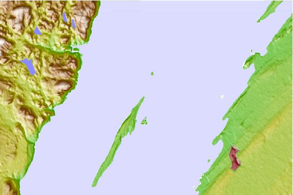
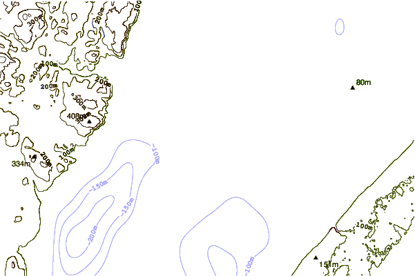
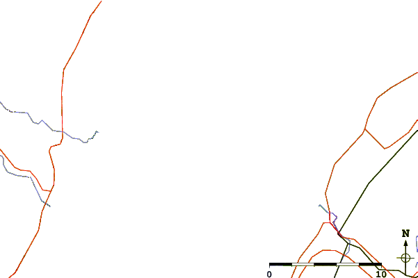
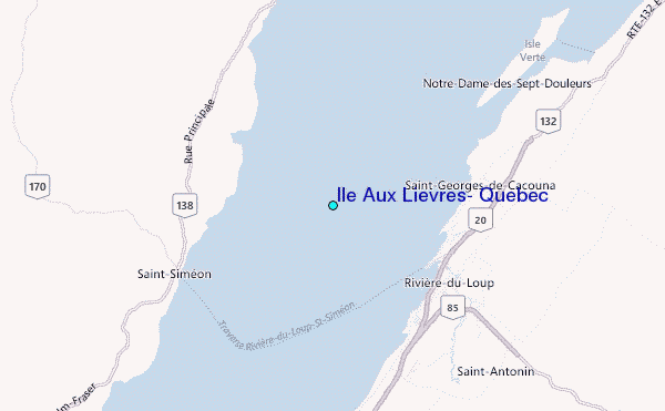
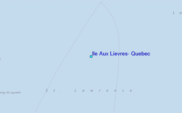
Use this relief map to navigate to tide stations, surf breaks and cities that are in the area of Ile Aux Lievres, Quebec.
Other Nearby Locations' tide tables and tide charts to Ile Aux Lievres, Quebec:
click location name for more details
 Surf breaks close to Ile Aux Lievres, Quebec:
|
||
|---|---|---|
| Closest surf break | Trayhan's | 287 mi |
| Second closest surf break | Popham Read | 288 mi |
| Third closest surf break | Doc Browns | 301 mi |
| Fourth closest surf break | Two Lights | 301 mi |
| Fifth closest surf break | Higgins Beach | 301 mi |

 Nearest
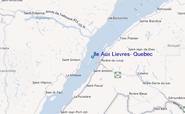