
| Distance / Altitude | Location | Report Date / Time | Live Weather | Wind | Gusts | Temp. | Visibility | Cloud |
|---|---|---|---|---|---|---|---|---|
| 66 km SSW / 42 m | Turiacu (81687 -0) (Brazil) | 2026-06-09 00:00 local (2026/06/09 03:00 GMT) | no report | calm (0 km/h at 120) | 27°C | - | - | |
| 158 km SSE / 58 m | São Luís (Brazil) | 2026-06-09 03:00 local (2026/06/09 06:00 GMT) | no report | calm (4 km/h at 300) | 25°C | - | - | |
| 164 km SSE / 53 m | SaoLuiz(Aero) (Brazil) | 2026-06-09 03:00 local (2026/06/09 06:00 GMT) | - | light winds from the E (9 km/h at 80) | 26°C | 40 km | scattered | |
| 165 km SSE / 53 m | Aeroporto Internacional de São Luís - Marechal (Brazil) | 2026-06-09 02:00 local (2026/06/09 05:00 GMT) | Dry and partly cloudy | light winds from the E (9 km/h at 80) | — | 0.0 | few scattered broken | |
| 209 km WSW / 34 m | Braganca (81685 -0) (Brazil) | 2026-06-09 00:00 local (2026/06/09 03:00 GMT) | no report | calm (4 km/h at 120) | 25°C | - | - | |
| 281 km W / 22 m | Salinopolis (81660 -0) (Brazil) | 2026-06-09 03:00 local (2026/06/09 06:00 GMT) | no report | wind obs. (4 kph from 120 degs) was rejected (- km/h at -) | 25°C | - | - | |
| 285 km ESE / 2 m | Preguicas (Brazil) | 2026-06-09 03:00 local (2026/06/09 06:00 GMT) | no report | - (- km/h at -) | 27°C | - | - | |
| 323 km SSE / 92 m | Chapadinha (Brazil) | 2026-06-09 00:00 local (2026/06/09 03:00 GMT) | no report | light winds from the ENE (7 km/h at 60) | 25°C | - | - - - | |
| 328 km S / 30 m | Bacabal (81790 -0) (Brazil) | 2026-06-09 00:00 local (2026/06/09 03:00 GMT) | no report | - (- km/h at 160) | 24°C | - | - | |
| 331 km SSW / 102 m | Paragominas (Brazil) | 2026-06-09 00:00 local (2026/06/09 03:00 GMT) | no report | wind obs. (7 kph from 130 degs) was rejected (- km/h at -) | 24°C | - | - |
| Contours: | Roads & Rivers: | Select a
tide station / surf break / city |
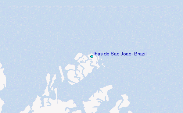
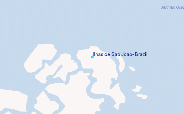
Use this relief map to navigate to tide stations, surf breaks and cities that are in the area of Ilhas de São João, Brazil.
Other Nearby Locations' tide tables and tide charts to Ilhas de Sao Joao, Brazil:
click location name for more details
 Surf breaks close to Ilhas de Sao Joao, Brazil:
|
||
|---|---|---|
| Closest surf break | Ponta do Farol | 94 mi |
| Second closest surf break | Ponta d'Areia | 94 mi |
| Third closest surf break | Praia do Calhau | 94 mi |
| Fourth closest surf break | Praia de Sao Marcos | 95 mi |
| Fifth closest surf break | Praia do Caolho | 95 mi |


 Nearest
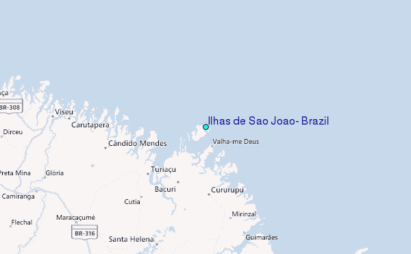