
| Distance / Altitude | Location | Report Date / Time | Live Weather | Wind | Gusts | Temp. | Visibility | Cloud |
|---|---|---|---|---|---|---|---|---|
| 19 km ENE / 217 m | Seoul/Kimpo International Airport (Korea) | 2024-04-18 09:00 local (2024/04/18 00:00 GMT) | Dry and partly cloudy | calm (4 km/h at 350) | 15°C | 9.0 | no significant cloud | |
| 34 km S / 15 m | SHIP2387 (Marine) | 2024-04-18 09:00 local (2024/04/18 00:00 GMT) | light winds from the NW (12.96 km/h at 310) | — | - km | |||
| 47 km E / 218 m | Chajang Airport (Korea) | 2024-04-18 09:30 local (2024/04/18 00:30 GMT) | - | light winds from the NNW (6 km/h at 340) | — | 0.0 | ||
| 49 km NNE / 21 m | Munsan Rws Airport (South Korea) | 2024-04-18 09:40 local (2024/04/18 00:40 GMT) | - | calm (4 km/h at 360) | 16°C | 10.0 | few | |
| 52 km NE / 95 m | Gwangjeok Airport (South Korea) | 2024-04-18 09:40 local (2024/04/18 00:40 GMT) | Haze - | light winds from the NNW (7 km/h at 340) | — | 9.0 |

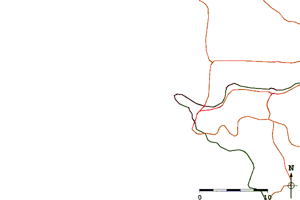
| Contours: | Roads & Rivers: | Select a
tide station / surf break / city |
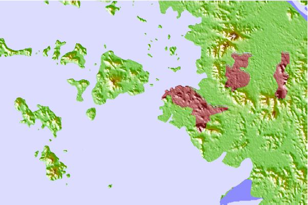
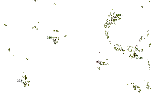
Use this relief map to navigate to tide stations, surf breaks and cities that are in the area of Inch'on, South Korea.
Other Nearby Locations' tide tables and tide charts to Inch'on, South Korea:
click location name for more details
 Surf breaks close to Inch'on, South Korea:
|
||
|---|---|---|
| Closest surf break | 38 Line | 123 mi |
| Second closest surf break | Ingu Beach | 124 mi |
| Third closest surf break | Songdojin ni | 125 mi |
| Fourth closest surf break | Jumunjin | 126 mi |
| Fifth closest surf break | Gyongpo Beach | 129 mi |

 Nearest
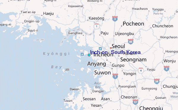