
| Distance / Altitude | Location | Report Date / Time | Live Weather | Wind | Gusts | Temp. | Visibility | Cloud |
|---|---|---|---|---|---|---|---|---|
| 2 km NNE / 1 m | InukjuakUa-Que (Canada) | 2024-04-25 11:00 local (2024/04/25 15:00 GMT) | Clear | light winds from the SE (15 km/h at 130) | -12°C | 14 | - no observation - | |
| 183 km NNE / 339 m | Puvirnituq Airport (Quebec) | 2024-04-25 12:12 local (2024/04/25 16:12 GMT) | Dry and cloudy | fresh winds from the SSW (30 km/h at 210) | -11°C | 0.0 | overcast | |
| 224 km S / 1 m | Sanikiluaq (Canada) | 2024-04-25 11:00 local (2024/04/25 15:00 GMT) | - | moderate winds from the S (20 km/h at 180) | -9°C | - | no observation | |
| 226 km S / 237 m | Sanikiluaq Airport (N.w. Territories) | 2024-04-25 11:00 local (2024/04/25 15:00 GMT) | - | moderate winds from the S (20 km/h at 170) | — | 24 | ||
| 235 km SSE / 273 m | Umiujaq Airport (Quebec) | 2024-04-25 11:00 local (2024/04/25 15:00 GMT) | Dry and partly cloudy | light winds from the S (11 km/h at 170) | -11°C | 24 | few scattered scattered |
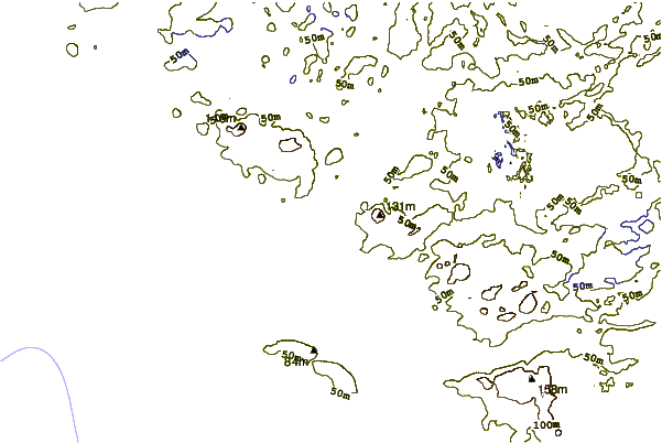
| Contours: | Roads & Rivers: | Select a
tide station / surf break / city |
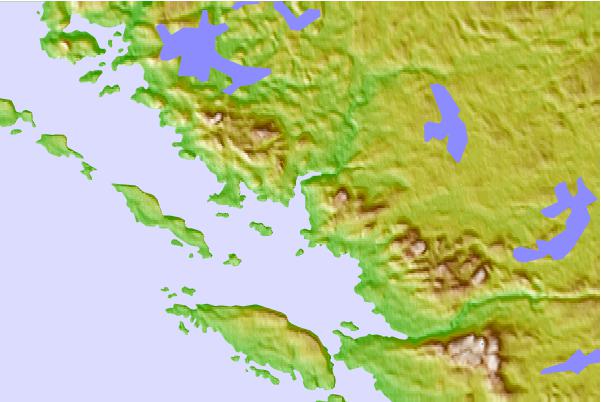
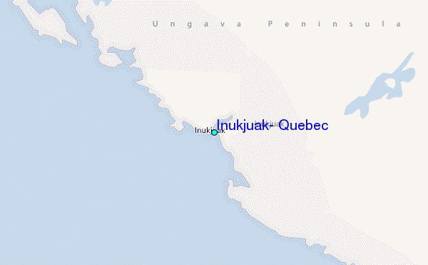
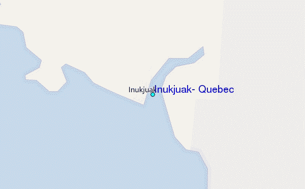
Use this relief map to navigate to tide stations, surf breaks and cities that are in the area of Inukjuak, Quebec.
Other Nearby Locations' tide tables and tide charts to Inukjuak, Quebec:
click location name for more details
 Surf breaks close to Inukjuak, Quebec:
|
||
|---|---|---|
| Closest surf break | Marathon | 755 mi |
| Second closest surf break | Alona Bay | 827 mi |
| Third closest surf break | Keweenaw Peninsula | 866 mi |
| Fourth closest surf break | Au Sable Point | 880 mi |
| Fifth closest surf break | Grand Marias | 880 mi |

 Nearest
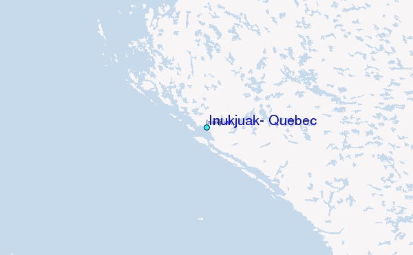