
| Distance / Altitude | Location | Report Date / Time | Live Weather | Wind | Gusts | Temp. | Visibility | Cloud |
|---|---|---|---|---|---|---|---|---|
| 55 km WSW / 15 m | ASCATB292E68S (Marine) | 2024-04-24 23:07 local (2024/04/25 02:07 GMT) | moderate winds from the N (24 km/h at 352) | — | - km | |||
| 68 km WSW / 15 m | ASCATB291E68S (Marine) | 2024-04-24 23:07 local (2024/04/25 02:07 GMT) | moderate winds from the NNW (23 km/h at 345) | — | - km | |||
| 74 km SSW / 15 m | ASCATB292E69S (Marine) | 2024-04-24 23:07 local (2024/04/25 02:07 GMT) | moderate winds from the ENE (21 km/h at 64) | — | - km | |||
| 85 km WNW / 1 m | Rothera(89062-1) (Antarctica) | 2024-04-25 00:00 local (2024/04/25 03:00 GMT) | - | light winds from the N (17 km/h at 360) | -3°C | - | - no observation - | |
| 105 km SW / 15 m | ASCATB291E69S (Marine) | 2024-04-24 23:07 local (2024/04/25 02:07 GMT) | moderate winds from the NNW (20 km/h at 332) | — | - km |
| Contours: | Roads & Rivers: | Select a
tide station / surf break / city |
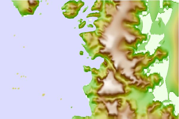
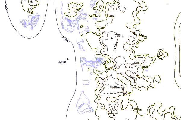
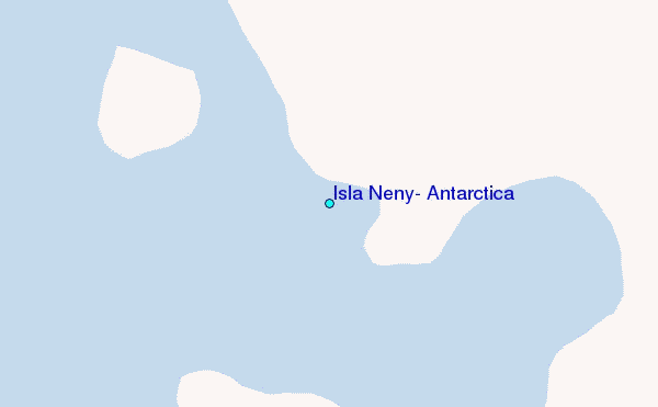
Use this relief map to navigate to tide stations, surf breaks and cities that are in the area of Isla Neny, Antarctica.
Other Nearby Locations' tide tables and tide charts to Isla Neny, Antarctica:
click location name for more details
 Surf breaks close to Isla Neny, Antarctica:
|
||
|---|---|---|
| Closest surf break | Río Grande | 998 mi |
| Second closest surf break | Bertha's Beach | 1162 mi |
| Third closest surf break | Surf Bay | 1181 mi |
| Fourth closest surf break | Elephant Beach | 1195 mi |
| Fifth closest surf break | Cow Bay | 1198 mi |

 Nearest
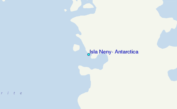