
| Distance / Altitude | Location | Report Date / Time | Live Weather | Wind | Gusts | Temp. | Visibility | Cloud |
|---|---|---|---|---|---|---|---|---|
| 47 km NNE / 3 m | SHIP12731 (Marine) | 2024-04-19 20:00 local (2024/04/20 02:00 GMT) | moderate winds from the NNW (21 km/h at 330) | 23°C | - | |||
| 47 km NNE / 15 m | SHIP9752 (Marine) | 2024-04-19 20:00 local (2024/04/20 02:00 GMT) | moderate winds from the NNW (20.52 km/h at 330) | 25°C | - km | |||
| 47 km NNE / - m | SHIP2958 (ocean) | 2024-04-19 21:00 local (2024/04/20 03:00 GMT) | No report | light winds from the NNW (17 km/h at 330) | 23°C | - | no observation | |
| 47 km NNE / - m | SHIP3550 (ocean) | 2024-04-19 21:00 local (2024/04/20 03:00 GMT) | No report | light winds from the NNW (17 km/h at 330) | 23°C | - | no observation | |
| 47 km NNE / - m | SHIP3596 (ocean) | 2024-04-19 21:00 local (2024/04/20 03:00 GMT) | No report | light winds from the NNW (17 km/h at 330) | 23°C | - | no observation |
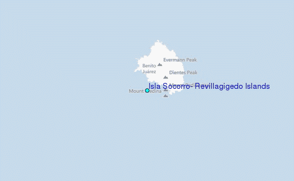
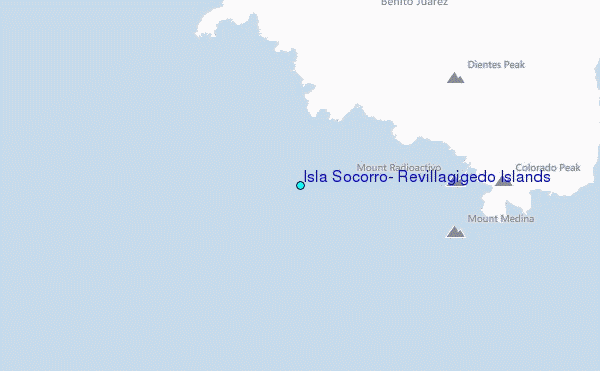
Choose Isla Socorro, Revillagigedo Islands Location Map Zoom:
| Contours: | Roads & Rivers: | Select a
tide station / surf break / city |
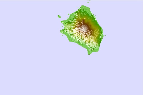
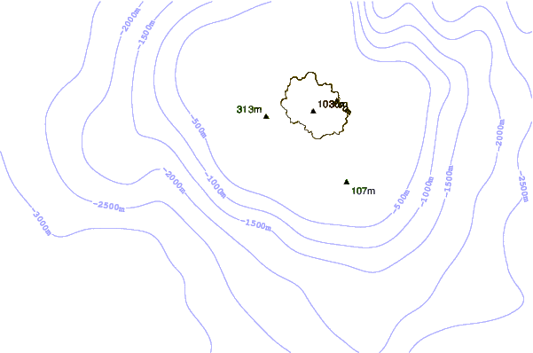
Use this relief map to navigate to tide stations, surf breaks and cities that are in the area of Isla Socorro, Revillagigedo Islands.
Other Nearby Locations' tide tables and tide charts to Isla Socorro, Revillagigedo Islands:
click location name for more details
 Surf breaks close to Isla Socorro, Revillagigedo Islands:
|
||
|---|---|---|
| Closest surf break | Backwash | 296 mi |
| Second closest surf break | Monuments | 297 mi |
| Third closest surf break | Bahia Chileno | 298 mi |
| Fourth closest surf break | Rancho San Carlos | 300 mi |
| Fifth closest surf break | La Punta | 301 mi |

 Nearest
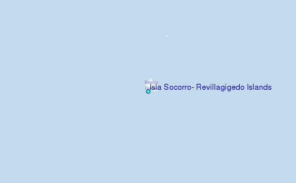