
| Distance / Altitude | Location | Report Date / Time | Live Weather | Wind | Gusts | Temp. | Visibility | Cloud |
|---|---|---|---|---|---|---|---|---|
| 23 km SE / 51 m | Salvador (83229 -0) (Brazil) | 2024-04-25 18:00 local (2024/04/25 21:00 GMT) | no report | - (- km/h at -) | 29°C | 20 | - | |
| 23 km SE / 53 m | Salvador (Brazil) | 2024-04-25 18:00 local (2024/04/25 21:00 GMT) | no report | calm (4 km/h at 180) | 27°C | - | - | |
| 37 km E / 6 m | Salvador(Aero) (Brazil) | 2024-04-25 18:00 local (2024/04/25 21:00 GMT) | - | light winds from the S (11 km/h at 170) | 28°C | 40 km | scattered | |
| 39 km E / 215 m | Salvador/Dois de Julho Airport (Brazil) | 2024-04-25 17:00 local (2024/04/25 20:00 GMT) | Dry and partly cloudy | light winds from the S (15 km/h at 170) | 29°C | 10.0 | scattered | |
| 50 km W / 225 m | Cruz Das Almas (83222 -0) (Brazil) | 2024-04-25 18:00 local (2024/04/25 21:00 GMT) | no report | - (- km/h at 140) | 30°C | 10 | - |
| Contours: | Roads & Rivers: | Select a
tide station / surf break / city |
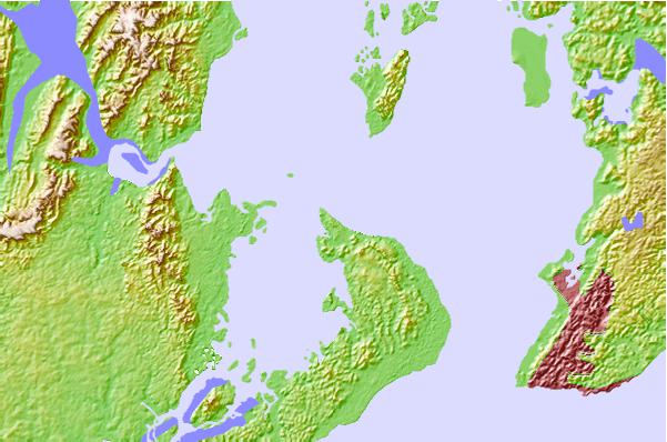
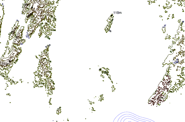
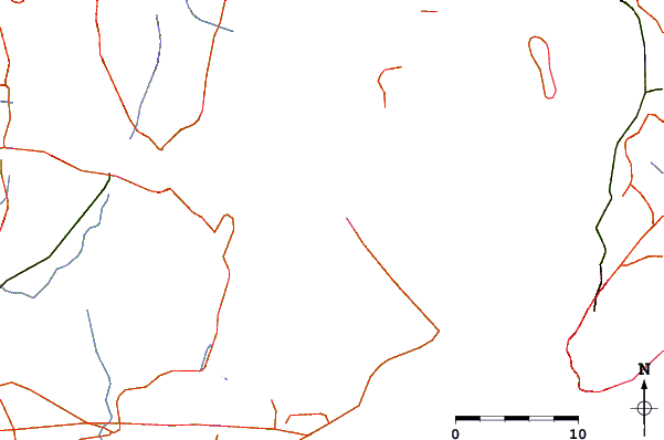
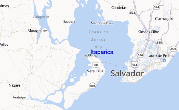
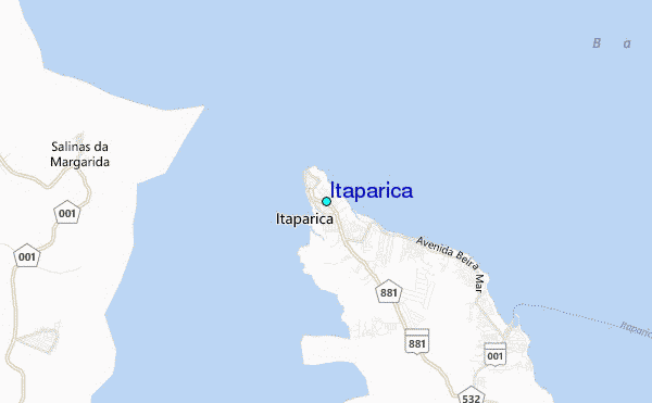
Use this relief map to navigate to tide stations, surf breaks and cities that are in the area of Itaparica.
Other Nearby Locations' tide tables and tide charts to Itaparica:
click location name for more details
 Surf breaks close to Itaparica:
|
||
|---|---|---|
| Closest surf break | Espanhol | 12 mi |
| Second closest surf break | Barra Vento | 13 mi |
| Third closest surf break | Farol da Barra | 13 mi |
| Fourth closest surf break | Tony | 16 mi |
| Fifth closest surf break | Amaralina | 16 mi |

 Nearest
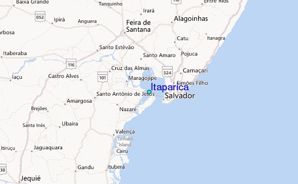