
| Distance / Altitude | Location | Report Date / Time | Live Weather | Wind | Gusts | Temp. | Visibility | Cloud |
|---|---|---|---|---|---|---|---|---|
| 236 km SSE / 415 m | Troughton Island (Australia) | 2026-06-09 16:30 local (2026/06/09 07:00 GMT) | no report | light winds from the NE (15 km/h at 40) | 26°C | - | - no observation - | |
| 249 km WNW / 108 m | KupangEltari (Indonesia) | 2026-06-09 16:30 local (2026/06/09 07:00 GMT) | Dry and partly cloudy | light winds from the ENE (19 km/h at 70) | 29°C | 10.0 | broken scattered - | |
| 282 km SSE / 52 m | Truscott (Australia) | 2026-06-09 16:30 local (2026/06/09 07:00 GMT) | Clear skies | light winds from the E (11 km/h at 90) | 29°C | - | - no observation - | |
| 315 km SSE / 155 m | Kalumburu (Australia) | 2026-06-09 15:30 local (2026/06/09 06:00 GMT) | no report | - (- km/h at -) | 23°C | - | - | |
| 364 km S / 3 m | SHIP9671 (Marine) | 2026-06-09 14:30 local (2026/06/09 05:00 GMT) | - (- km/h at -) | 28°C | - | |||
| 362 km S / 15 m | SHIP5931 (Marine) | 2026-06-09 14:30 local (2026/06/09 05:00 GMT) | - (- km/h at -) | 28°C | - km | |||
| 362 km S / 15 m | SHIP5857 (Marine) | 2026-06-09 14:30 local (2026/06/09 05:00 GMT) | - (- km/h at -) | 28°C | - km | |||
| 362 km S / 15 m | SHIP12346 (Marine) | 2026-06-09 15:30 local (2026/06/09 06:00 GMT) | - (- km/h at -) | 28°C | - km | |||
| 362 km S / 3 m | SHIP5096 (Marine) | 2026-06-09 14:30 local (2026/06/09 05:00 GMT) | - (- km/h at -) | 28°C | - | |||
| 362 km S / 15 m | SHIP10422 (Marine) | 2026-06-09 15:30 local (2026/06/09 06:00 GMT) | - (- km/h at -) | 28°C | - km |
| Contours: | Roads & Rivers: | Select a
tide station / surf break / city |

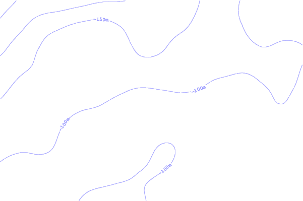
Use this relief map to navigate to tide stations, surf breaks and cities that are in the area of Jabiru, Australia.
Other Nearby Locations' tide tables and tide charts to Jabiru, Australia:
click location name for more details
 Surf breaks close to Jabiru, Australia:
|
||
|---|---|---|
| Closest surf break | Nembrala | 130 mi |
| Second closest surf break | Boa | 171 mi |
| Third closest surf break | Ndana | 171 mi |
| Fourth closest surf break | Digger | 172 mi |
| Fifth closest surf break | Peanuts | 172 mi |


 Nearest