
| Distance / Altitude | Location | Report Date / Time | Live Weather | Wind | Gusts | Temp. | Visibility | Cloud |
|---|---|---|---|---|---|---|---|---|
| 3 km WNW / 3 m | BUOY-SEIM1 (Marine) | 2026-06-09 05:00 local (2026/06/09 09:00 GMT) | - (- km/h at -) | 16°C | - | |||
| 9 km WSW / 218 m | Portsmouth/Pease Airport (New Hampshire) | 2026-06-09 03:55 local (2026/06/09 07:55 GMT) | Clear | light winds from the WSW (7 km/h at 250) | 16°C | 16 | ||
| 10 km WSW / 3 m | BUOY-BGXN3 (Marine) | 2026-06-09 04:45 local (2026/06/09 08:45 GMT) | light winds from the W (8 km/h at 270) | 14°C | - | |||
| 12 km WSW / 3 m | BUOY-44074 (Marine) | 2026-06-09 05:00 local (2026/06/09 09:00 GMT) | light winds from the WSW (14 km/h at 250) | 15°C | - | |||
| 15 km ESE / 3 m | BUOY-44073 (Marine) | 2026-06-09 05:05 local (2026/06/09 09:05 GMT) | - (- km/h at -) | — | - | |||
| 26 km SSW / 25.9 m | Salisbury (Massachusetts) | 2026-06-09 05:26 local (2026/06/09 09:26 GMT) | dry | calm (0 km/h at 154) | 16°C | - | - - 0 | |
| 27 km ENE / 3 m | Western Maine Shelf Buoy (Marine) | 2026-06-09 04:30 local (2026/06/09 08:30 GMT) | light winds from the SW (18 km/h at 220) | 15°C | - | |||
| 29 km S / 4 m | Newburyport (Massachusetts) | 2026-06-09 05:46 local (2026/06/09 09:46 GMT) | dry | calm (5 km/h at 267) | 17°C | - | - - 0 | |
| 30 km NW / 218 m | Rochester Airport (New Hampshire) | 2026-06-09 03:51 local (2026/06/09 07:51 GMT) | Clear | calm (0 km/h at 0) | 13°C | 16 | ||
| 30 km S / 1 m | Joppa wx (United States) | 2026-06-09 05:03 local (2026/06/09 09:03 GMT) | dry | calm (2 km/h at 232) | 16°C | - | - - 0 |
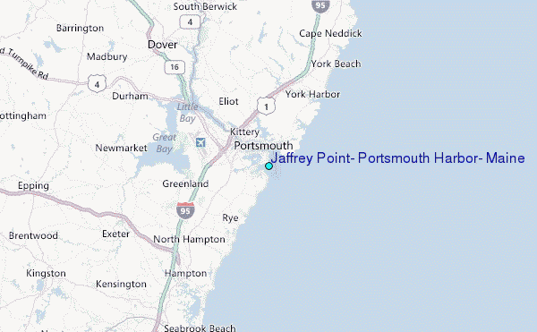
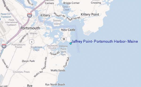
Choose Jaffrey Point, Portsmouth Harbor, Maine Location Map Zoom:
| Contours: | Roads & Rivers: | Select a
tide station / surf break / city |
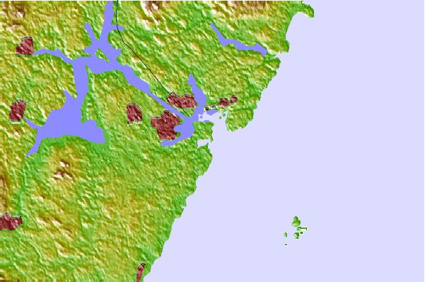
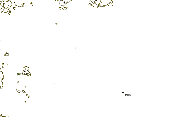
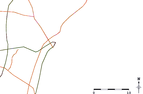
Use this relief map to navigate to tide stations, surf breaks and cities that are in the area of Jaffrey Point, Portsmouth Harbor, Maine.
Other Nearby Locations' tide tables and tide charts to Jaffrey Point, Portsmouth Harbor, Maine:
click location name for more details
 Surf breaks close to Jaffrey Point, Portsmouth Harbor, Maine:
|
||
|---|---|---|
| Closest surf break | Jenness Beach | 5 mi |
| Second closest surf break | Rye On the Rocks | 6 mi |
| Third closest surf break | Fox Hill Point | 7 mi |
| Fourth closest surf break | Linkys | 7 mi |
| Fifth closest surf break | Costellos | 8 mi |


 Nearest
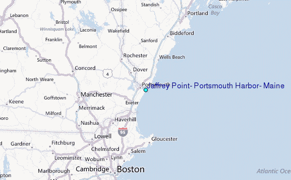