
| Distance / Altitude | Location | Report Date / Time | Live Weather | Wind | Gusts | Temp. | Visibility | Cloud |
|---|---|---|---|---|---|---|---|---|
| 55 km WNW / 15 m | ASCATB286E19N (Marine) | 2024-04-23 10:02 local (2024/04/23 14:02 GMT) | moderate winds from the NNE (21 km/h at 27) | — | - km | |||
| 102 km NE / 15 m | ASCATB287E19N (Marine) | 2024-04-23 10:02 local (2024/04/23 14:02 GMT) | light winds from the NE (9 km/h at 52) | — | - km | |||
| 108 km WSW / 15 m | ASCATB285E19N (Marine) | 2024-04-23 10:02 local (2024/04/23 14:02 GMT) | light winds from the ENE (16 km/h at 71) | — | - km | |||
| 111 km NW / 15 m | ASCATB286E20N (Marine) | 2024-04-23 10:02 local (2024/04/23 14:02 GMT) | moderate winds from the NE (21 km/h at 40) | — | - km | |||
| 124 km WNW / 15 m | ASCATB285E20N (Marine) | 2024-04-23 10:02 local (2024/04/23 14:02 GMT) | moderate winds from the ENE (20 km/h at 61) | — | - km |
| Contours: | Roads & Rivers: | Select a
tide station / surf break / city |
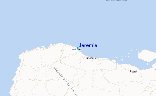
Use this relief map to navigate to tide stations, surf breaks and cities that are in the area of Jeremie.
Other Nearby Locations' tide tables and tide charts to Jeremie:
click location name for more details
 Surf breaks close to Jeremie:
|
||
|---|---|---|
| Closest surf break | Jacmel | 108 mi |
| Second closest surf break | The Ranch | 145 mi |
| Third closest surf break | Long Bay | 149 mi |
| Fourth closest surf break | Boston Bay | 150 mi |
| Fifth closest surf break | Winnifred Beach | 152 mi |

 Nearest
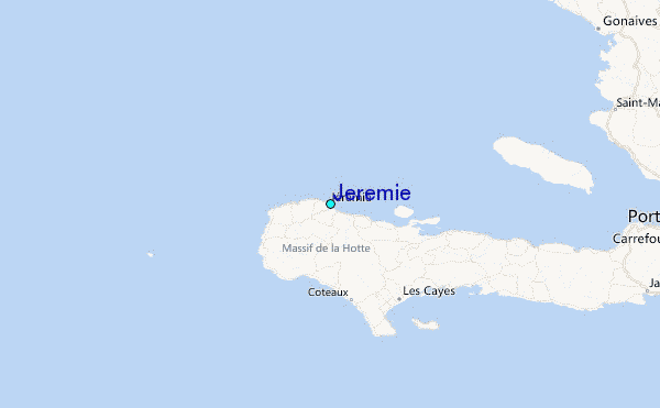