
| Distance / Altitude | Location | Report Date / Time | Live Weather | Wind | Gusts | Temp. | Visibility | Cloud |
|---|---|---|---|---|---|---|---|---|
| 61 km NW / 89 m | Blaise Diagne International Airport (Senegal) | 2024-04-24 01:30 local (2024/04/24 01:30 GMT) | Dry and partly cloudy | light winds from the NNW (6 km/h at 330) | 21°C | 8.0 | few scattered - | |
| 83 km E / 7 m | Kaolack Airport (Senegal) | 2024-04-24 00:00 local (2024/04/24 00:00 GMT) | - | light winds from the W (11 km/h at 280) | — | 0.0 | ||
| 85 km NE / 9 m | Diourbel (Senegal) | 2024-04-24 00:00 local (2024/04/24 00:00 GMT) | - | light winds from the NW (15 km/h at 320) | — | 0.0 | - - - | |
| 92 km S / 162 m | Banjul/Yundum International Airport (Gambia) | 2024-04-24 01:00 local (2024/04/24 01:00 GMT) | - | light winds from the WNW (15 km/h at 290) | — | 0.0 | ||
| 94 km WNW / 219 m | Dakar/Yoff-Léopold Sédar Senghor International Airport (Senegal) | 2024-04-24 01:00 local (2024/04/24 01:00 GMT) | - | light winds from the WNW.(Wind varies from 270 to 340 degs) (11 km/h at 300) | 22°C | 10.0 | few |
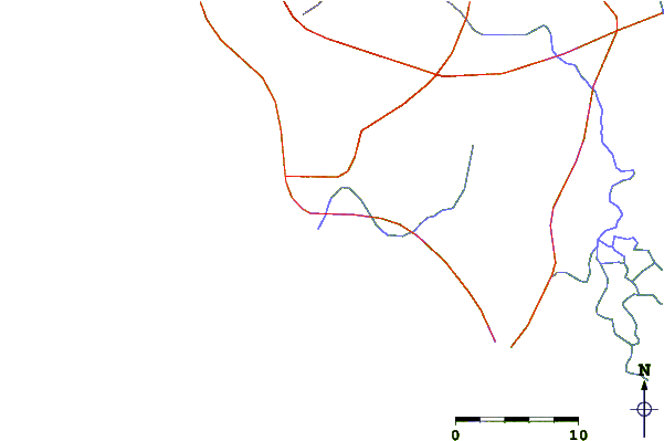
| Contours: | Roads & Rivers: | Select a
tide station / surf break / city |
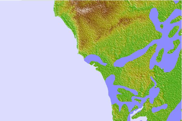
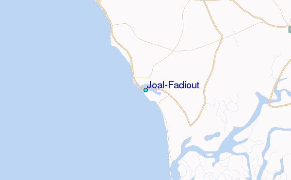
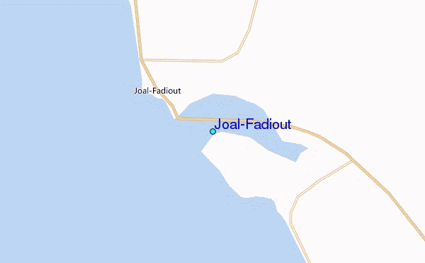
Use this relief map to navigate to tide stations, surf breaks and cities that are in the area of Joal-Fadiout.
Other Nearby Locations' tide tables and tide charts to Joal-Fadiout:
click location name for more details
 Surf breaks close to Joal-Fadiout:
|
||
|---|---|---|
| Closest surf break | Baobab (Somone) | 27 mi |
| Second closest surf break | Piere de Lisse | 34 mi |
| Third closest surf break | Senegambia Beach | 50 mi |
| Fourth closest surf break | Kololi Kotu Kombo | 52 mi |
| Fifth closest surf break | Corniche Ouest | 55 mi |

 Nearest
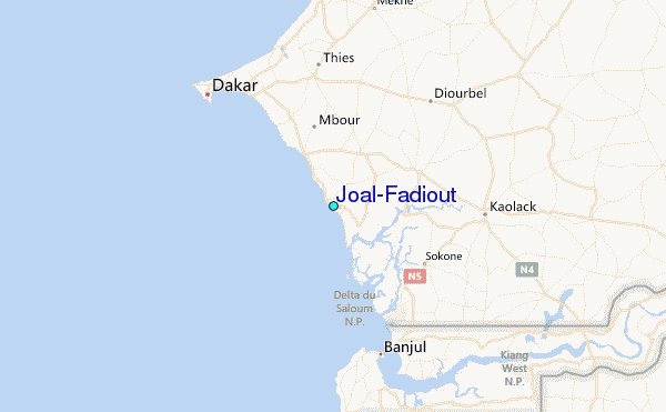