
| Distance / Altitude | Location | Report Date / Time | Live Weather | Wind | Gusts | Temp. | Visibility | Cloud |
|---|---|---|---|---|---|---|---|---|
| 24 km NNE / 48 m | Marshfield wx (United States) | 2026-06-09 01:17 local (2026/06/09 05:17 GMT) | dry | calm (0 km/h at 232) | 11°C | - | - - 0 | |
| 34 km ENE / 3 m | BUOY-CFWM1 (Marine) | 2026-06-09 01:00 local (2026/06/09 05:00 GMT) | light winds from the WNW (8 km/h at 290) | 12°C | - | |||
| 35 km SE / - m | SHIP1643 (ocean) | 2026-06-09 01:00 local (2026/06/09 05:00 GMT) | - | moderate winds from the SW (22 km/h at 230) | — | - | no observation | |
| 36 km SE / 3 m | 20 NM SE of Jonesport- ME (Marine) | 2026-06-09 01:20 local (2026/06/09 05:20 GMT) | moderate winds from the SW (25 km/h at 230) | — | - | |||
| 43 km SW / 27 m | Winter Harbor-SERC (Maine) | 2026-06-09 01:42 local (2026/06/09 05:42 GMT) | dry | light winds from the SW (16 km/h at 235) | 13°C | - | - - 0 | |
| 35 km SE / - m | SHIP505 (ocean) | 2026-06-09 01:00 local (2026/06/09 05:00 GMT) | - | moderate winds from the SW (22 km/h at 230) | — | - | no observation | |
| 35 km SE / - m | SHIP1432 (ocean) | 2026-06-09 01:00 local (2026/06/09 05:00 GMT) | - | moderate winds from the SW (22 km/h at 230) | — | - | no observation | |
| 35 km SE / - m | SHIP294 (ocean) | 2026-06-09 01:00 local (2026/06/09 05:00 GMT) | - | moderate winds from the SW (22 km/h at 230) | — | - | no observation | |
| 35 km SE / - m | SHIP2178 (ocean) | 2026-06-09 00:00 local (2026/06/09 04:00 GMT) | - | moderate winds from the SW (22 km/h at 220) | — | - | no observation | |
| 35 km SE / - m | SHIP425 (ocean) | 2026-06-09 00:00 local (2026/06/09 04:00 GMT) | - | moderate winds from the SW (22 km/h at 220) | — | - | no observation |
| Contours: | Roads & Rivers: | Select a
tide station / surf break / city |
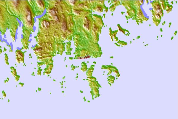
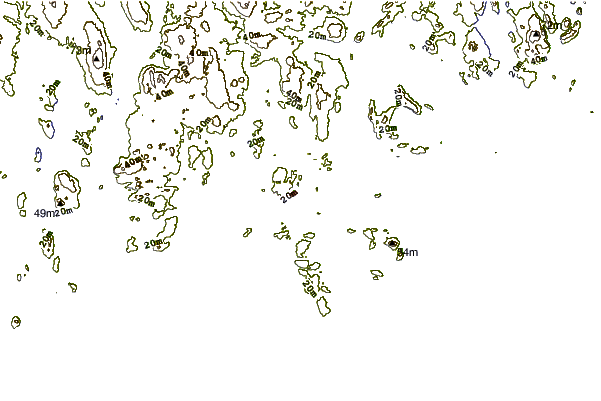
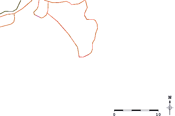
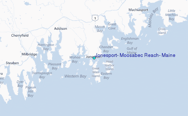
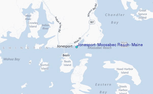
Use this relief map to navigate to tide stations, surf breaks and cities that are in the area of Jonesport, Moosabec Reach, Maine.
Other Nearby Locations' tide tables and tide charts to Jonesport, Moosabec Reach, Maine:
click location name for more details
 Surf breaks close to Jonesport, Moosabec Reach, Maine:
|
||
|---|---|---|
| Closest surf break | Popham Read | 122 mi |
| Second closest surf break | Trayhan's | 130 mi |
| Third closest surf break | Summerville | 143 mi |
| Fourth closest surf break | Two Lights | 146 mi |
| Fifth closest surf break | Doc Browns | 147 mi |


 Nearest
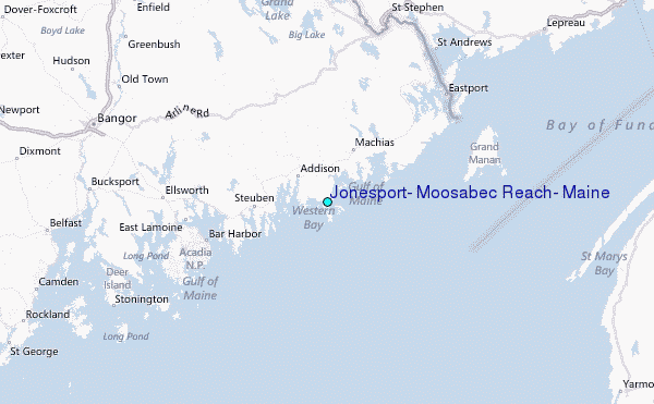