
| Distance / Altitude | Location | Report Date / Time | Live Weather | Wind | Gusts | Temp. | Visibility | Cloud |
|---|---|---|---|---|---|---|---|---|
| 25 km SW / 93 m | Kuratake (Japan) | 2024-04-20 20:00 local (2024/04/20 11:00 GMT) | - | calm (0 km/h at 305) | 16°C | - | - - 0 | |
| 35 km WNW / 680 m | Mount Unzendake (Japan) | 2024-04-20 20:00 local (2024/04/20 11:00 GMT) | Continuous light rain | fresh winds from the SE (31 km/h at 140) | 14°C | 2.2 km | - no observation - | |
| 37 km NNE / 39 m | Kumamoto (Japan) | 2024-04-20 20:00 local (2024/04/20 11:00 GMT) | Rain and snow or hail | calm (4 km/h at 320) | 16°C | 33 km | no observation | |
| 40 km SSE / 147 m | Hitoyoshi (Japan) | 2024-04-20 20:00 local (2024/04/20 11:00 GMT) | Continuous light rain | light winds from the SE (6 km/h at 130) | 16°C | 2.8 km | no observation | |
| 44 km NE / 474 m | Kumamoto Airport (Japan) | 2024-04-20 19:00 local (2024/04/20 10:00 GMT) | Shower light rain shower | light winds from the E (7 km/h at 90) | 15°C | 6.0 | few scattered broken |
| Contours: | Roads & Rivers: | Select a
tide station / surf break / city |
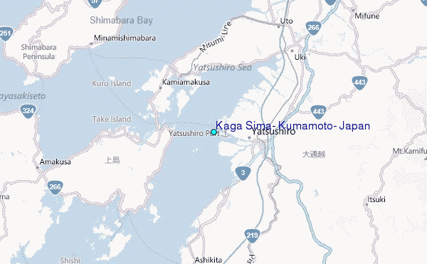
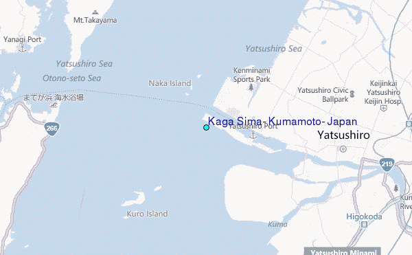
Use this relief map to navigate to tide stations, surf breaks and cities that are in the area of Kaga Sima, Kumamoto, Japan.
Other Nearby Locations' tide tables and tide charts to Kaga Sima, Kumamoto, Japan:
click location name for more details
 Surf breaks close to Kaga Sima, Kumamoto, Japan:
|
||
|---|---|---|
| Closest surf break | Nomozaki | 53 mi |
| Second closest surf break | Lena | 63 mi |
| Third closest surf break | Hakashita | 64 mi |
| Fourth closest surf break | Mimitsu | 64 mi |
| Fifth closest surf break | Takanabe | 64 mi |

 Nearest
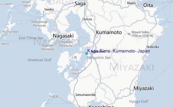