
| Distance / Altitude | Location | Report Date / Time | Live Weather | Wind | Gusts | Temp. | Visibility | Cloud |
|---|---|---|---|---|---|---|---|---|
| 1 km NNE / 12 m | Kalama (Washington) | 2024-04-19 01:05 local (2024/04/19 08:05 GMT) | dry | calm (0 km/h at ) | 11°C | - | - - 0 | |
| 2 km SSE / 3 m | BUOY-KLMW1 (Marine) | 2024-04-19 00:48 local (2024/04/19 07:48 GMT) | - (- km/h at -) | — | - | |||
| 4 km E / 270 m | Kalama (Washington) | 2024-04-19 01:10 local (2024/04/19 08:10 GMT) | dry | wind obs. (13 kph from 76 degs) was rejected (- km/h at -) | 13°C | - | - - 0 | |
| 11 km SSE / 115 m | Caples Landing wx (United States) | 2024-04-18 23:49 local (2024/04/19 06:49 GMT) | dry | calm (0 km/h at 138) | 10°C | - | - - 0 | |
| 12 km SSE / 27 m | Columbia City (Oregon) | 2024-04-19 00:48 local (2024/04/19 07:48 GMT) | dry | calm (5 km/h at 236) | 13°C | - | - - 0 |
| Contours: | Roads & Rivers: | Select a
tide station / surf break / city |
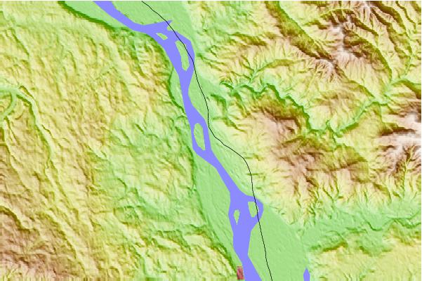
Use this relief map to navigate to tide stations, surf breaks and cities that are in the area of Kalama, Washington IGNORE HEIGHTS.
Other Nearby Locations' tide tables and tide charts to Kalama, Washington IGNORE HEIGHTS:
click location name for more details
 Surf breaks close to Kalama, Washington IGNORE HEIGHTS:
|
||
|---|---|---|
| Closest surf break | Seaside Cove | 52 mi |
| Second closest surf break | Cannon Beach/Tolovana Beach | 54 mi |
| Third closest surf break | Needles | 54 mi |
| Fourth closest surf break | Seaside Point | 54 mi |
| Fifth closest surf break | Arcadia | 55 mi |

 Nearest