
| Distance / Altitude | Location | Report Date / Time | Live Weather | Wind | Gusts | Temp. | Visibility | Cloud |
|---|---|---|---|---|---|---|---|---|
| 70 km NNE / 53 m | Cotabato-Mindanao (Philippines) | 2024-04-18 09:00 local (2024/04/18 01:00 GMT) | haze | light winds from the SSE (11 km/h at 150) | 29°C | 12 | - scattered - | |
| 116 km S / 15 m | ASCATB124E6N (Marine) | 2024-04-18 08:39 local (2024/04/18 00:39 GMT) | light winds from the WNW (13 km/h at 300) | — | - km | |||
| 128 km SSE / 15 m | ASCATB125E6N (Marine) | 2024-04-18 08:39 local (2024/04/18 00:39 GMT) | light winds from the WNW (14 km/h at 297) | — | - km | |||
| 134 km ESE / 15 m | General Santos City (Philippines) | 2024-04-18 09:00 local (2024/04/18 01:00 GMT) | haze | light winds from the NNE (7 km/h at 20) | 29°C | 18 | - - - | |
| 187 km ENE / 293 m | Davao/Francisco Bangoy International Airport (Philippines) | 2024-04-18 10:00 local (2024/04/18 02:00 GMT) | Dry and partly cloudy | light winds from the NE.(Wind varies from 350 to 060 degs) (17 km/h at 40) | 32°C | 10.0 | few broken broken |
| Contours: | Roads & Rivers: | Select a
tide station / surf break / city |
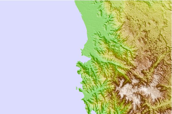
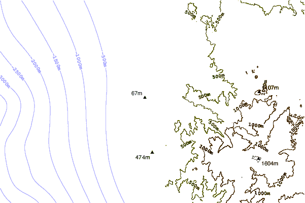
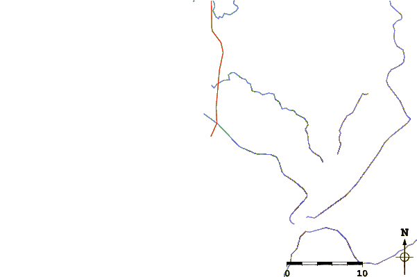
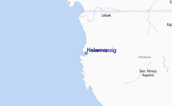
Use this relief map to navigate to tide stations, surf breaks and cities that are in the area of Kalamansig.
Other Nearby Locations' tide tables and tide charts to Kalamansig:
click location name for more details
 Surf breaks close to Kalamansig:
|
||
|---|---|---|
| Closest surf break | Tago River | 227 mi |
| Second closest surf break | Marami Beach | 227 mi |
| Third closest surf break | Lanuza Rivermouth | 231 mi |
| Fourth closest surf break | Random Beach Break | 232 mi |
| Fifth closest surf break | Big Star | 234 mi |

 Nearest
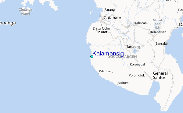