
| Distance / Altitude | Location | Report Date / Time | Live Weather | Wind | Gusts | Temp. | Visibility | Cloud |
|---|---|---|---|---|---|---|---|---|
| 28 km S / 357 m | Noto Airport (Japan) | 2026-06-09 12:00 local (2026/06/09 03:00 GMT) | Dry and partly cloudy | wind obs. (7 kph from 1 degs) was rejected (- km/h at -) | 19°C | 10.0 | few scattered broken | |
| 41 km NE / 11 m | Kō wx (Japan) | 2026-06-09 13:43 local (2026/06/09 04:43 GMT) | dry | light winds from the WNW (6 km/h at 293) | 24°C | - | - - 0 | |
| 47 km NW / 3 m | Ise Bay (Marine) | 2026-06-09 13:02 local (2026/06/09 04:02 GMT) | - (- km/h at -) | — | - | |||
| 64 km N / 12 m | Takatachō wx (Japan) | 2026-06-09 13:43 local (2026/06/09 04:43 GMT) | dry | calm (2 km/h at 189) | 24°C | - | - - 0 | |
| 65 km N / 30 m | Shiogamaguchi wx (Japan) | 2026-06-09 13:31 local (2026/06/09 04:31 GMT) | dry | wind obs. (6 kph from 35 degs) was rejected (- km/h at -) | 23°C | - | - - 0 | |
| 69 km N / 56 m | Nagoya(47636-0) (Japan) | 2026-06-09 12:00 local (2026/06/09 03:00 GMT) | - | light winds from the WNW (11 km/h at 300) | 22°C | 40 km | no observation | |
| 78 km ENE / 5 m | Iwata (Japan) | 2026-06-09 13:43 local (2026/06/09 04:43 GMT) | dry | calm (5 km/h at 320) | 23°C | - | - - 0 | |
| 78 km N / 218 m | Nagoya Airport (Japan) | 2026-06-09 12:30 local (2026/06/09 03:30 GMT) | Shower light rain shower | moderate winds from the NW (22 km/h at 320) | 22°C | 10.0 | few scattered broken | |
| 78 km ENE / 4 m | Ikeda wx (Japan) | 2026-06-09 12:53 local (2026/06/09 03:53 GMT) | dry | light winds from the NW (13 km/h at 312) | 23°C | - | - - 0 | |
| 110 km NW / 1002 m | Ibuki wx (Japan) | 2026-06-09 13:04 local (2026/06/09 04:04 GMT) | dry | light winds from the NW (6 km/h at 326) | 12°C | - | - - 0 |
| Contours: | Roads & Rivers: | Select a
tide station / surf break / city |
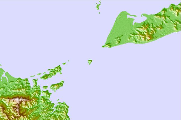
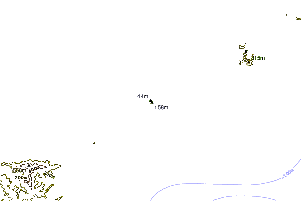
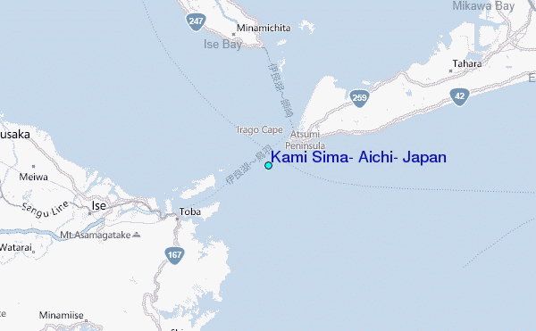
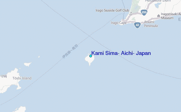
Use this relief map to navigate to tide stations, surf breaks and cities that are in the area of Kami Sima, Aichi, Japan.
Other Nearby Locations' tide tables and tide charts to Kami Sima, Aichi, Japan:
click location name for more details
 Surf breaks close to Kami Sima, Aichi, Japan:
|
||
|---|---|---|
| Closest surf break | Akabane Long Beach | 13 mi |
| Second closest surf break | Omaezaki | 70 mi |
| Third closest surf break | Susuki | 70 mi |
| Fourth closest surf break | Katahama | 71 mi |
| Fifth closest surf break | Suruga Bay | 72 mi |


 Nearest
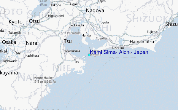