
| Distance / Altitude | Location | Report Date / Time | Live Weather | Wind | Gusts | Temp. | Visibility | Cloud |
|---|---|---|---|---|---|---|---|---|
| 42 km ENE / 506 m | Adak Naval Air Station Airport (Alaska) | 2024-04-24 12:21 local (2024/04/24 21:21 GMT) | Dry and partly cloudy | fresh winds from the WSW (35 km/h at 250) | 3°C | 14 | few scattered broken | |
| 42 km ENE / 3 m | BUOY-ADKA2 (Marine) | 2024-04-24 12:48 local (2024/04/24 21:48 GMT) | fresh winds from the W (35 km/h at 260) | 3°C | - | |||
| 215 km ENE / 3 m | BUOY-ATKA2 (Marine) | 2024-04-24 12:48 local (2024/04/24 21:48 GMT) | moderate winds from the SW (21 km/h at 220) | 3°C | - | |||
| 351 km E / - m | SHIP1945 (ocean) | 2024-04-24 11:00 local (2024/04/24 20:00 GMT) | - | fresh winds from the SSW (29 km/h at 210) | — | - | no observation | |
| 351 km E / 3 m | Central Aleutians Buoy (Marine) | 2024-04-24 12:50 local (2024/04/24 21:50 GMT) | fresh winds from the SSW (32 km/h at 210) | — | - |
| Contours: | Roads & Rivers: | Select a
tide station / surf break / city |
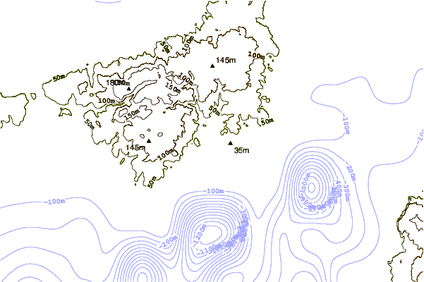

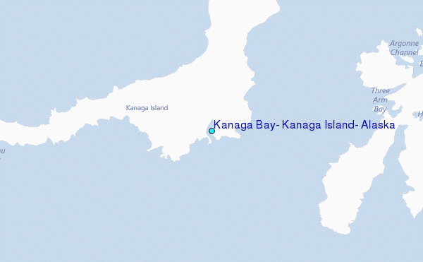
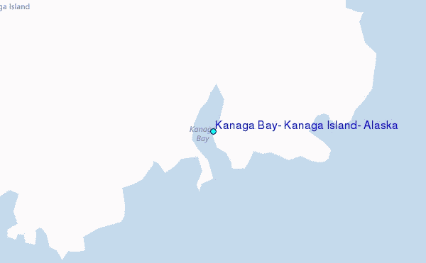
Use this relief map to navigate to tide stations, surf breaks and cities that are in the area of Kanaga Bay, Kanaga Island, Alaska.
Other Nearby Locations' tide tables and tide charts to Kanaga Bay, Kanaga Island, Alaska:
click location name for more details
 Surf breaks close to Kanaga Bay, Kanaga Island, Alaska:
|
||
|---|---|---|
| Closest surf break | Khalaktyrsky Beach | 1010 mi |
| Second closest surf break | Fossil Beach Kodiak | 1063 mi |
| Third closest surf break | Monashka Bay | 1067 mi |
| Fourth closest surf break | Termination Point | 1068 mi |
| Fifth closest surf break | Mill Bay | 1070 mi |

 Nearest
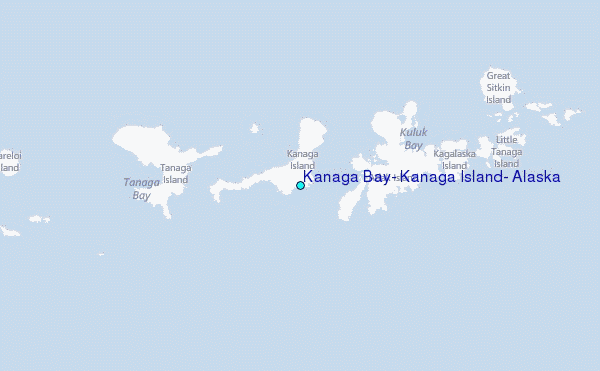