
| Distance / Altitude | Location | Report Date / Time | Live Weather | Wind | Gusts | Temp. | Visibility | Cloud |
|---|---|---|---|---|---|---|---|---|
| 38 km S / 50 m | Jatiwangi (Indonesia) | 2024-04-26 04:00 local (2024/04/25 21:00 GMT) | Intermittent light rain | calm (0 km/h at 0) | 27°C | 28 km | - mostly cloudy - | |
| 88 km ESE / 210 m | Tegal (Indonesia) | 2024-04-26 04:00 local (2024/04/25 21:00 GMT) | Intermittent light rain | calm (0 km/h at 0) | 27°C | 27 km | overcast | |
| 103 km SW / 841 m | Cibeunying wx (Indonesia) | 2024-04-26 04:12 local (2024/04/25 21:12 GMT) | - | calm (3 km/h at 180) | 22°C | - | - - 0 | |
| 108 km SW / 796 m | Srigunting wx (Indonesia) | 2024-04-26 05:19 local (2024/04/25 22:19 GMT) | - | light winds from the S (6 km/h at 180) | 22°C | - | - - 0 | |
| 110 km SW / 820 m | Kalidam wx (Indonesia) | 2024-04-26 04:30 local (2024/04/25 21:30 GMT) | - | calm (0 km/h at 0) | 29°C | - | - - 0 |

| Contours: | Roads & Rivers: | Select a
tide station / surf break / city |
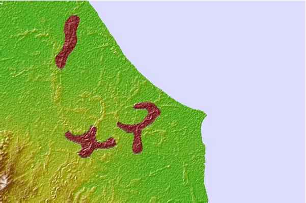

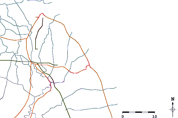
Use this relief map to navigate to tide stations, surf breaks and cities that are in the area of Karangampel.
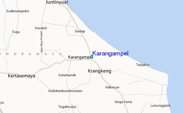
Other Nearby Locations' tide tables and tide charts to Karangampel:
click location name for more details
 Surf breaks close to Karangampel:
|
||
|---|---|---|
| Closest surf break | Batu Hiu | 85 mi |
| Second closest surf break | Karang Nini | 86 mi |
| Third closest surf break | Batu Mandi | 88 mi |
| Fourth closest surf break | Batu Karas | 89 mi |
| Fifth closest surf break | Keusik Luhur | 93 mi |

 Nearest
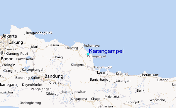