
| Distance / Altitude | Location | Report Date / Time | Live Weather | Wind | Gusts | Temp. | Visibility | Cloud |
|---|---|---|---|---|---|---|---|---|
| 10 km WNW / 24 m | Phliu Agromet (Thailand) | 2024-04-25 13:00 local (2024/04/25 06:00 GMT) | haze | - (- km/h at -) | 34°C | 8 | - | |
| 21 km SSE / 32 m | Trat Airport (Thailand) | 2024-04-25 14:00 local (2024/04/25 07:00 GMT) | - | light winds from the WSW (19 km/h at 250) | 34°C | 10.0 | few | |
| 23 km WNW / 4 m | Chantha Buri (Thailand) | 2024-04-25 14:00 local (2024/04/25 07:00 GMT) | no report | light winds from the SW (15 km/h at 220) | 35°C | 12 | - scattered - | |
| 31 km WNW / 30 m | Ban Nong Prue wx (Thailand) | 2024-04-25 15:03 local (2024/04/25 08:03 GMT) | - | calm (0 km/h at 98) | 38°C | - | - - 0 | |
| 56 km NE / 711 m | Pailin (Cambodia) | 2024-04-25 15:00 local (2024/04/25 08:00 GMT) | - | light winds from the W (7 km/h at 260) | 36°C | - | no observation |
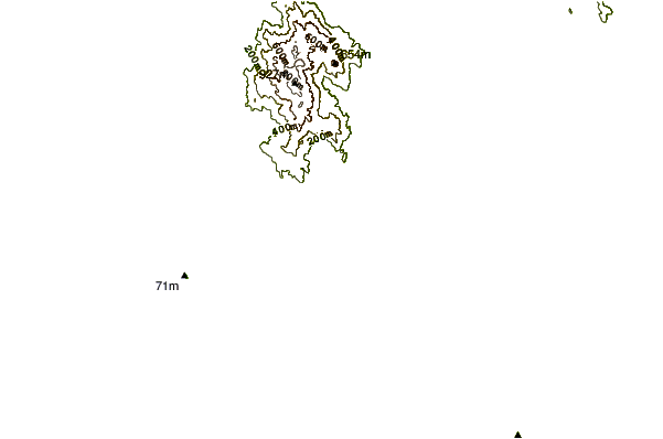
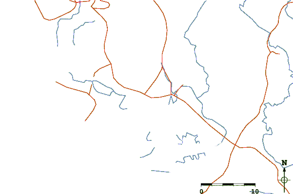
| Contours: | Roads & Rivers: | Select a
tide station / surf break / city |
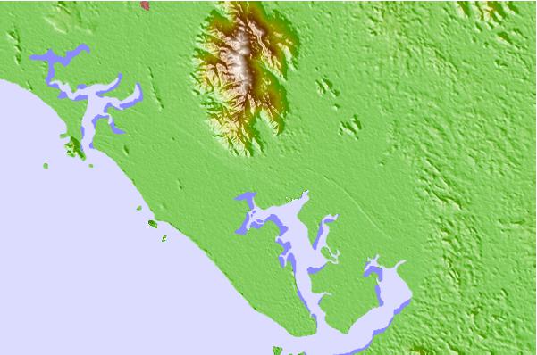
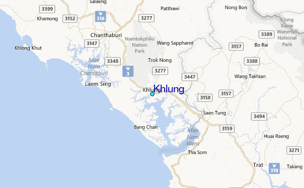
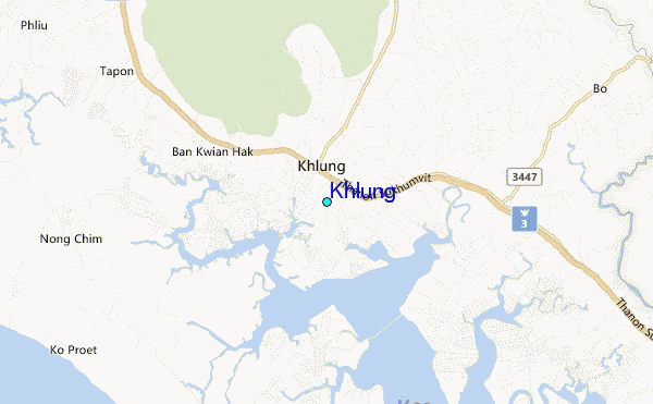
Use this relief map to navigate to tide stations, surf breaks and cities that are in the area of Khlung.
Other Nearby Locations' tide tables and tide charts to Khlung:
click location name for more details
 Surf breaks close to Khlung:
|
||
|---|---|---|
| Closest surf break | Leam Sing | 12 mi |
| Second closest surf break | Aho Kahi Harbor Entrance | 42 mi |
| Third closest surf break | Mae Phim Beach (Rayong) | 44 mi |
| Fourth closest surf break | Hinsuay Namsay | 47 mi |
| Fifth closest surf break | Ko Samet - Sai Kaew | 52 mi |

 Nearest
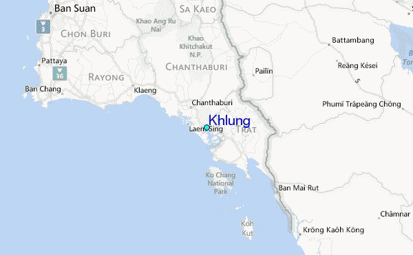