
| Distance / Altitude | Location | Report Date / Time | Live Weather | Wind | Gusts | Temp. | Visibility | Cloud |
|---|---|---|---|---|---|---|---|---|
| 8 km NW / 179 m | Mombasa-Moi International Airport (Kenya) | 2026-06-09 19:30 local (2026/06/09 16:30 GMT) | Dry and partly cloudy | light winds from the SSE (13 km/h at 160) | 27°C | 10.0 | few broken - | |
| 108 km NNE / 1 m | Malindi Airport (Kenya) | 2026-06-09 19:00 local (2026/06/09 16:00 GMT) | Dry and partly cloudy | light winds from the S (15 km/h at 170) | 27°C | 10.0 | scattered | |
| 143 km W / 87 m | Voi (Kenya) | 2026-06-09 20:00 local (2026/06/09 17:00 GMT) | no report | wind obs. (15 kph from 240 degs) was rejected (- km/h at -) | 22°C | 30 | - | |
| 214 km WSW / 844 m | Same Airport (Tanzania) | 2026-06-09 19:00 local (2026/06/09 16:00 GMT) | - | calm (0 km/h at 0) | — | 0.0 | ||
| 239 km NNE / 6 m | Lamu Manda Island (Kenya) | 2026-06-09 18:00 local (2026/06/09 15:00 GMT) | Dry and partly cloudy | calm (0 km/h at 0) | 29°C | 10.0 | scattered | |
| 241 km S / 372 m | Zanzibar/Kisauni Airport (Tanzania) | 2026-06-09 19:00 local (2026/06/09 16:00 GMT) | - | light winds from the ESE (11 km/h at 120) | 26°C | 10.0 | few | |
| 245 km NNE / 1 m | Lamu (Kenya) | 2026-06-09 20:20 local (2026/06/09 17:20 GMT) | no report | light winds from the S (13 km/h at 180) | 30°C | 30 | - | |
| 284 km WNW / 1053 m | Makindu (Kenya) | 2026-06-09 20:00 local (2026/06/09 17:00 GMT) | no report | light winds from the ESE (7 km/h at 120) | 24°C | 40 | - | |
| 296 km W / 410 m | Kilimanjaro Airport (Tanzania) | 2026-06-09 19:00 local (2026/06/09 16:00 GMT) | - | light winds from the N (7 km/h at 10) | 22°C | 10.0 | few | |
| 312 km S / 376 m | Dar Es Salaam Airport (Tanzania) | 2026-06-09 19:00 local (2026/06/09 16:00 GMT) | - | light winds from the SE (11 km/h at 130) | 26°C | 10.0 | few |
| Contours: | Roads & Rivers: | Select a
tide station / surf break / city |
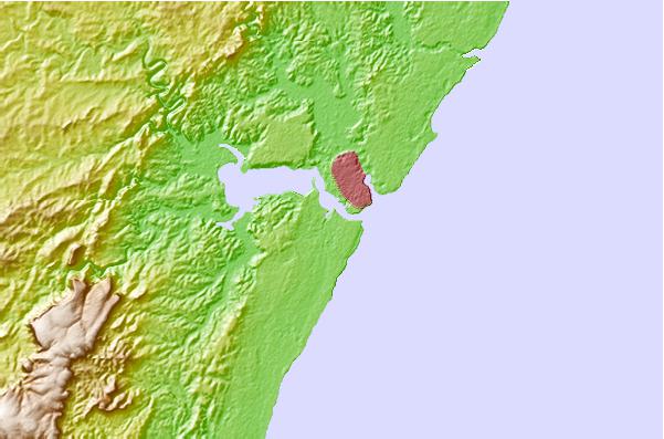
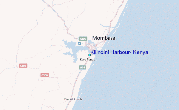
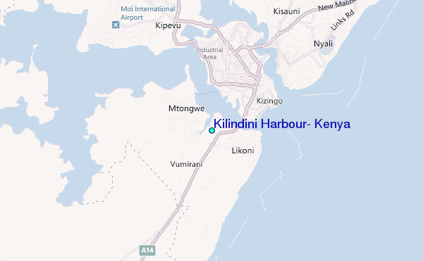
Use this relief map to navigate to tide stations, surf breaks and cities that are in the area of Kilindini Harbour, Kenya.
Other Nearby Locations' tide tables and tide charts to Kilindini Harbour, Kenya:
click location name for more details
 Surf breaks close to Kilindini Harbour, Kenya:
|
||
|---|---|---|
| Closest surf break | Mombasa Channel | 2 mi |
| Second closest surf break | Watamu Bay | 57 mi |
| Third closest surf break | Malindi Bay | 70 mi |
| Fourth closest surf break | Nungwi Reefs | 116 mi |
| Fifth closest surf break | Jam's Right | 183 mi |


 Nearest
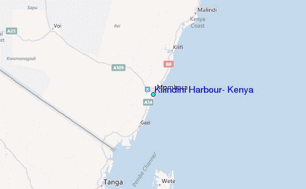