
| Distance / Altitude | Location | Report Date / Time | Live Weather | Wind | Gusts | Temp. | Visibility | Cloud |
|---|---|---|---|---|---|---|---|---|
| 34 km E / 3 m | BUOY-KBMG1 (Marine) | 2026-06-09 05:00 local (2026/06/09 09:00 GMT) | - (- km/h at -) | 26°C | - | |||
| 35 km SSE / 218 m | Jacksonville Airport (Florida) | 2026-06-09 03:56 local (2026/06/09 07:56 GMT) | Dry and partly cloudy | calm (0 km/h at 0) | 21°C | 16 | broken | |
| 35 km SE / 9 m | Fernandina Beach (Florida) | 2026-06-09 04:24 local (2026/06/09 08:24 GMT) | dry | calm (0 km/h at 61) | 21°C | - | - - 0 | |
| 37 km ESE / 3 m | BUOY-FRDF1 (Marine) | 2026-06-09 05:00 local (2026/06/09 09:00 GMT) | calm (4 km/h at 90) | 25°C | - | |||
| 40 km ESE / 5 m | Fernandina Beach Airport (Florida) (Florida) | 2026-06-09 04:35 local (2026/06/09 08:35 GMT) | Dry and partly cloudy | light winds from the ESE (7 km/h at 110) | 25°C | 16 | scattered | |
| 41 km SE / 10 m | Dunn Creek wx (United States) | 2026-06-09 05:29 local (2026/06/09 09:29 GMT) | dry | calm (0 km/h at 60) | 22°C | - | - - 0 | |
| 47 km SSE / 4 m | Lake Forest Manor wx (United States) | 2026-06-09 05:23 local (2026/06/09 09:23 GMT) | dry | calm (0 km/h at ) | 24°C | - | - - 0 | |
| 47 km SSE / 3 m | BUOY-NFDF1 (Marine) | 2026-06-09 05:00 local (2026/06/09 09:00 GMT) | calm (5 km/h at 10) | 25°C | 10.9 | |||
| 49 km S / 30 m | Jacksonvil/naval (Florida) | 2026-06-09 03:53 local (2026/06/09 07:53 GMT) | Clear | calm (0 km/h at 0) | 19°C | 16 | ||
| 51 km SSE / 10 m | Jacksonville (Florida) | 2026-06-09 05:33 local (2026/06/09 09:33 GMT) | dry | calm (0 km/h at 99) | 23°C | - | - - 0 |
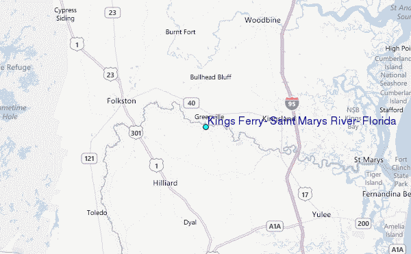
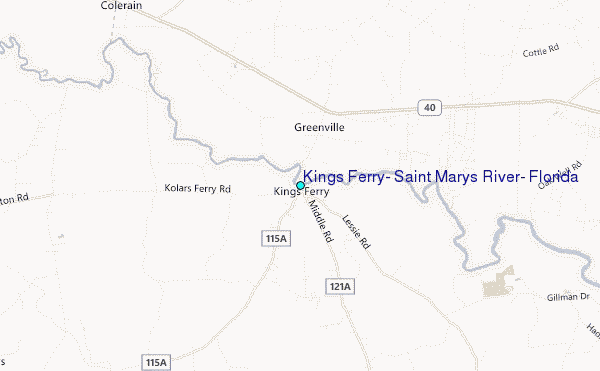
Choose Kings Ferry, Saint Marys River, Florida Location Map Zoom:
| Contours: | Roads & Rivers: | Select a
tide station / surf break / city |
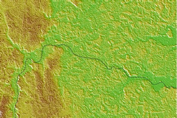
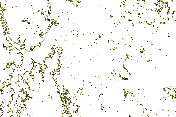
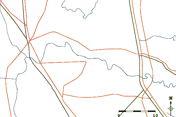
Use this relief map to navigate to tide stations, surf breaks and cities that are in the area of Kings Ferry, Saint Marys River, Florida.
Other Nearby Locations' tide tables and tide charts to Kings Ferry, Saint Marys River, Florida:
click location name for more details
 Surf breaks close to Kings Ferry, Saint Marys River, Florida:
|
||
|---|---|---|
| Closest surf break | St Marys Rivermouth | 25 mi |
| Second closest surf break | Fernandina Beach Pier | 25 mi |
| Third closest surf break | Hooks | 25 mi |
| Fourth closest surf break | Main Beach | 25 mi |
| Fifth closest surf break | Fernandina Pier | 26 mi |


 Nearest
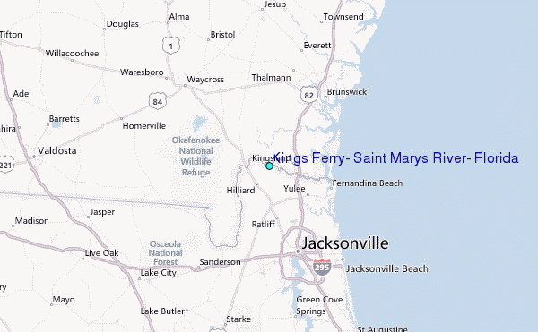