
| Distance / Altitude | Location | Report Date / Time | Live Weather | Wind | Gusts | Temp. | Visibility | Cloud |
|---|---|---|---|---|---|---|---|---|
| 35 km SE / 212 m | Changjon (North Korea) | 2024-04-20 14:30 local (2024/04/20 06:00 GMT) | Continuous light rain | calm (0 km/h at 0) | 12°C | 30 km | overcast | |
| 47 km W / 213 m | Wonsan (North Korea) | 2024-04-20 14:30 local (2024/04/20 06:00 GMT) | Continuous light rain | calm (4 km/h at 50) | 10°C | 35 km | overcast | |
| 80 km SSW / 206 m | Pyonggang (North Korea) | 2024-04-20 14:30 local (2024/04/20 06:00 GMT) | Intermittent light rain | light winds from the NE (18 km/h at 50) | 12°C | 5.0 km | overcast | |
| 83 km S / 250 m | Bangsan RWS Airport (South Korea) | 2024-04-20 14:10 local (2024/04/20 05:40 GMT) | Dry and cloudy | calm (2 km/h at 40) | 14°C | 10.0 | overcast | |
| 88 km S / 197 m | Gimwa Rws Airport (South Korea) | 2024-04-20 14:10 local (2024/04/20 05:40 GMT) | Light rain | light winds from the NNE (9 km/h at 20) | — | 6.0 |
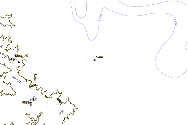
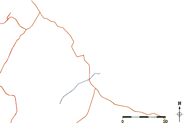
| Contours: | Roads & Rivers: | Select a
tide station / surf break / city |
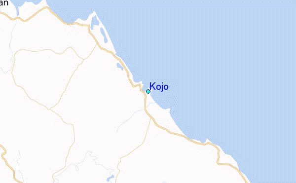
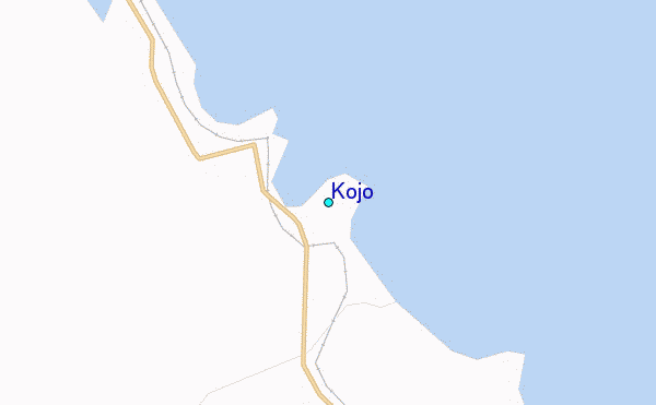
Use this relief map to navigate to tide stations, surf breaks and cities that are in the area of Kojo.
Other Nearby Locations' tide tables and tide charts to Kojo:
click location name for more details
 Surf breaks close to Kojo:
|
||
|---|---|---|
| Closest surf break | Songdojin ni | 35 mi |
| Second closest surf break | 38 Line | 80 mi |
| Third closest surf break | Ingu Beach | 81 mi |
| Fourth closest surf break | Jumunjin | 90 mi |
| Fifth closest surf break | Gyongpo Beach | 96 mi |

 Nearest
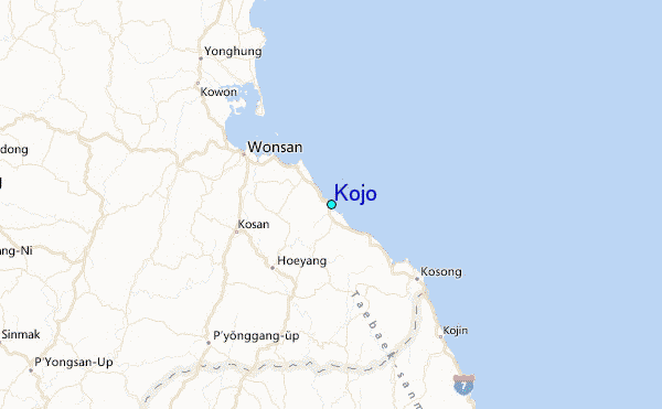