
| Distance / Altitude | Location | Report Date / Time | Live Weather | Wind | Gusts | Temp. | Visibility | Cloud |
|---|---|---|---|---|---|---|---|---|
| 9 km ENE / 446 m | Kochi Airport (Japan) | 2026-06-09 19:00 local (2026/06/09 10:00 GMT) | Shower - in the vicinity | light winds from the NNW.(Wind varies from 310 to 030 degs) (6 km/h at 340) | 19°C | 10.0 | few scattered broken | |
| 74 km SE / 3 m | Muroto Cape- Kochi(buoy) (Marine) | 2026-06-09 20:02 local (2026/06/09 11:02 GMT) | - (- km/h at -) | — | - | |||
| 82 km NNE / 41 m | Enai wx (Japan) | 2026-06-09 20:36 local (2026/06/09 11:36 GMT) | dry | calm (0 km/h at 180) | 18°C | - | - - 0 | |
| 85 km E / 3 m | Kaiyo Tokushima (buoy) (Marine) | 2026-06-09 20:02 local (2026/06/09 11:02 GMT) | - (- km/h at -) | — | - | |||
| 86 km W / 9 m | Minamiedo wx (Japan) | 2026-06-09 20:30 local (2026/06/09 11:30 GMT) | dry | calm (0 km/h at 128) | 19°C | - | - - 0 | |
| 89 km W / 475 m | Matsuyama Airport (Japan) | 2026-06-09 19:00 local (2026/06/09 10:00 GMT) | Dry and partly cloudy | wind obs. (7 kph from 190 degs) was rejected (- km/h at -) | 19°C | 10.0 | few scattered broken | |
| 90 km NNE / 446 m | Takamatsu Airport (Japan) | 2026-06-09 19:00 local (2026/06/09 10:00 GMT) | Dry and partly cloudy | light winds from the SSE.(Wind varies from 130 to 190 degs) (6 km/h at 160) | 18°C | 10.0 | few scattered broken | |
| 94 km NNE / 31 m | Enzachō wx (Japan) | 2026-06-09 19:46 local (2026/06/09 10:46 GMT) | - | - (- km/h at ) | 22°C | - | - - 0 | |
| 104 km S / 3 m | West Kochi (buoy) (Marine) | 2026-06-09 20:02 local (2026/06/09 11:02 GMT) | - (- km/h at -) | — | - | |||
| 108 km NNE / 24 m | Murechō-ōmachi wx (Japan) | 2026-06-09 20:00 local (2026/06/09 11:00 GMT) | - | calm (0 km/h at 0) | 21°C | - | - - 0 |
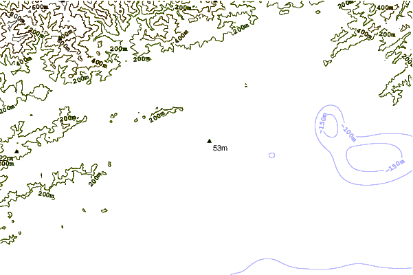
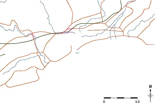
| Contours: | Roads & Rivers: | Select a
tide station / surf break / city |
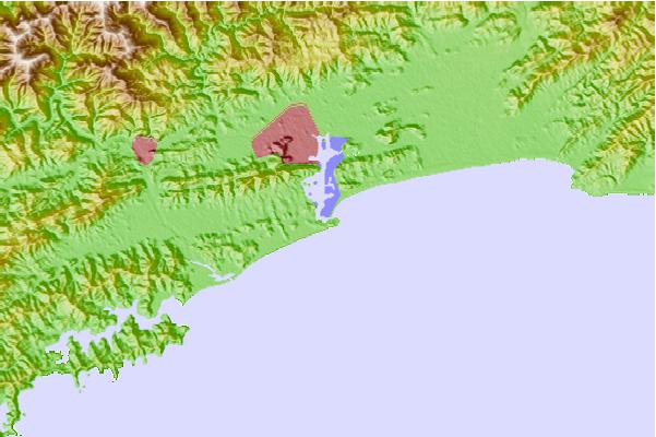
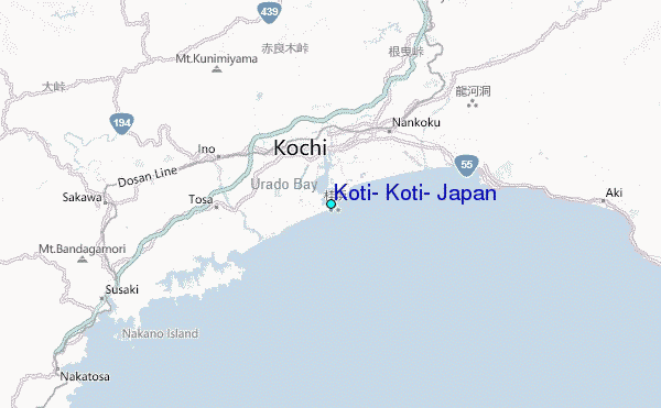
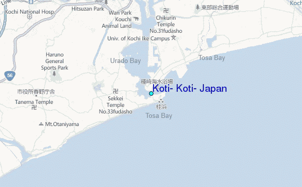
Use this relief map to navigate to tide stations, surf breaks and cities that are in the area of Koti, Koti, Japan.
Other Nearby Locations' tide tables and tide charts to Koti, Koti, Japan:
click location name for more details
 Surf breaks close to Koti, Koti, Japan:
|
||
|---|---|---|
| Closest surf break | Niyodo Rivermouth | 7 mi |
| Second closest surf break | Monabe Rivermouth | 12 mi |
| Third closest surf break | Yasuda Rivermouth | 24 mi |
| Fourth closest surf break | Osaki Point | 38 mi |
| Fifth closest surf break | Ozaki | 38 mi |


 Nearest
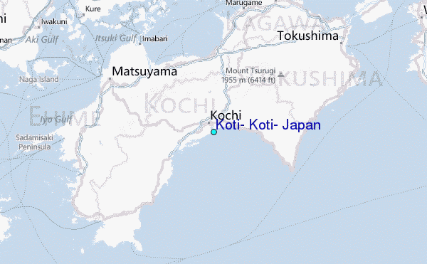