
| Distance / Altitude | Location | Report Date / Time | Live Weather | Wind | Gusts | Temp. | Visibility | Cloud |
|---|---|---|---|---|---|---|---|---|
| 115 km S / 8 m | Bata (Rio Muni) (Equatorial Guinea) | 2024-04-19 22:00 local (2024/04/19 21:00 GMT) | no report | light winds from the E (7 km/h at 80) | 27°C | 10 | - | |
| 117 km S / 554 m | Bata Airport (Equatorial Guinea) | 2024-04-19 23:00 local (2024/04/19 22:00 GMT) | Dry and partly cloudy | calm (4 km/h at 150) | 26°C | 10.0 | scattered | |
| 120 km N / 209 m | Douala Airport (Cameroon) | 2024-04-19 23:30 local (2024/04/19 22:30 GMT) | Thunderstorm - | calm (0 km/h at 0) | 23°C | 10.0 | broken few few | |
| 122 km N / 1 m | Douala R.s. (Cameroon) | 2024-04-19 22:00 local (2024/04/19 21:00 GMT) | Thunderstorm but no precipitation falling at station | calm (4 km/h at 80) | 24°C | 30 km | - overcast - | |
| 156 km WNW / 56 m | Malabo/Fernando Poo Airport (Equatorial Guinea) | 2024-04-19 23:30 local (2024/04/19 22:30 GMT) | Thunderstorm - | light winds from the NE (19 km/h at 50) | 28°C | 10.0 | scattered few broken |
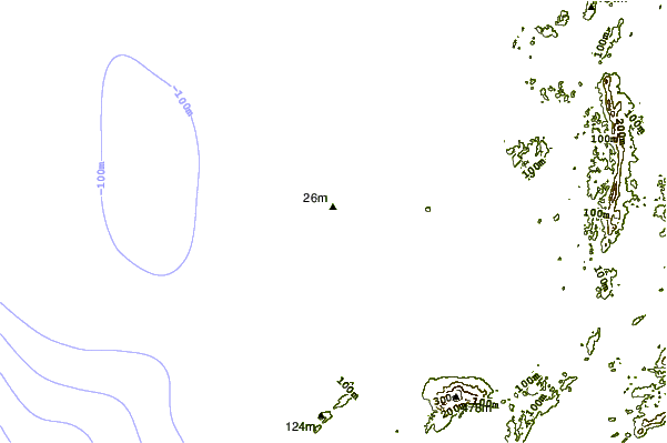
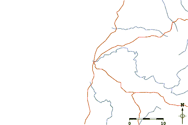
| Contours: | Roads & Rivers: | Select a
tide station / surf break / city |
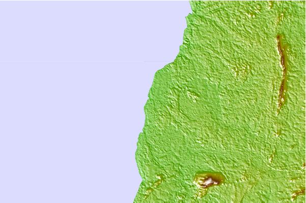
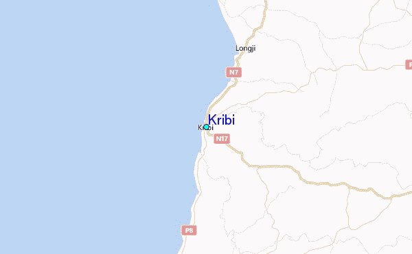
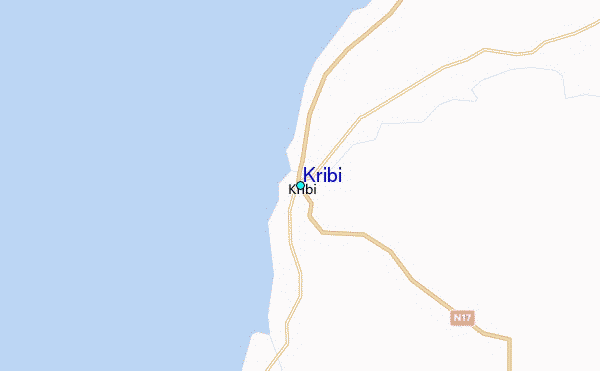
Use this relief map to navigate to tide stations, surf breaks and cities that are in the area of Kribi.
Other Nearby Locations' tide tables and tide charts to Kribi:
click location name for more details
 Surf breaks close to Kribi:
|
||
|---|---|---|
| Closest surf break | Kribi | 1 mi |
| Second closest surf break | Seme Beach Limbe | 91 mi |
| Third closest surf break | Ferme aux Crocos | 171 mi |
| Fourth closest surf break | Gueque | 177 mi |
| Fifth closest surf break | Ngombe | 186 mi |

 Nearest
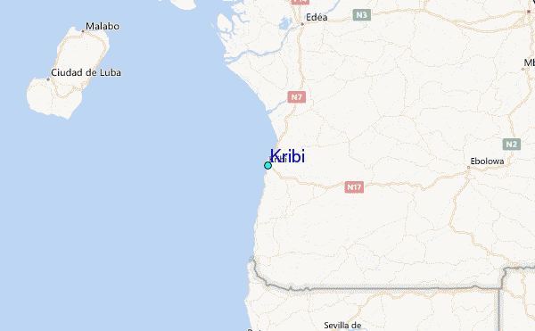