
| Distance / Altitude | Location | Report Date / Time | Live Weather | Wind | Gusts | Temp. | Visibility | Cloud |
|---|---|---|---|---|---|---|---|---|
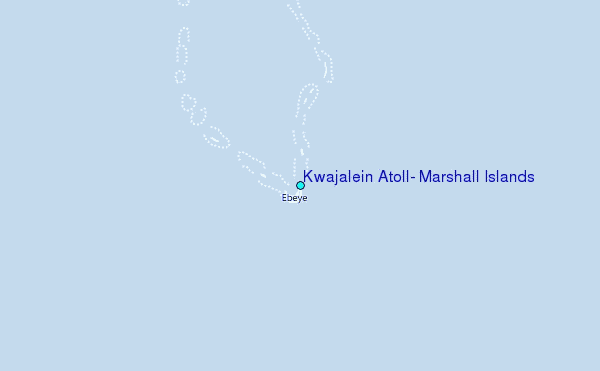
| 1 km SSW / 215 m | Kwajalein/buchol Airport (Marshall Islands) | 2024-04-19 08:40 local (2024/04/18 20:40 GMT) | Clear | moderate winds from the E (26 km/h at 80) | 29°C | 16 | scattered scattered broken | |
| 1 km SSW / 3 m | BUOY-KWJP8 (Marine) | 2024-04-19 08:48 local (2024/04/18 20:48 GMT) | - (- km/h at -) | — | - | |||
| 423 km ESE / 208 m | Majuro Atoll Airport (Marshall Islands) | 2024-04-19 07:50 local (2024/04/18 19:50 GMT) | Dry and partly cloudy | light winds from the ENE (17 km/h at 70) | 29°C | 24 | few scattered broken | |
| 430 km ESE / 169 m | Majuro Wso Airport (Marshall Islands) | 2024-04-19 08:25 local (2024/04/18 20:25 GMT) | Dry and partly cloudy | fresh winds from the ENE (31 km/h at 60) | 28°C | 24 | few scattered broken | |
| 441 km ESE / 3 m | Kalo- Majuro- Marshall Islands (Marine) | 2024-04-19 08:30 local (2024/04/18 20:30 GMT) | - (- km/h at -) | 29°C | - |
| Contours: | Roads & Rivers: | Select a
tide station / surf break / city |
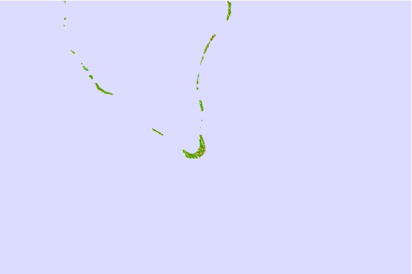
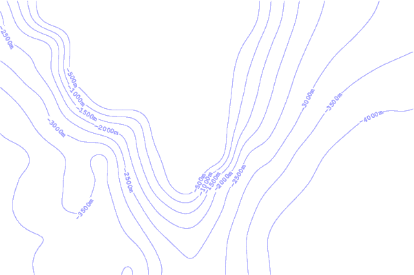
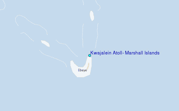
Use this relief map to navigate to tide stations, surf breaks and cities that are in the area of Kwajalein Atoll, Marshall Islands.
Other Nearby Locations' tide tables and tide charts to Kwajalein Atoll, Marshall Islands:
click location name for more details
 Surf breaks close to Kwajalein Atoll, Marshall Islands:
|
||
|---|---|---|
| Closest surf break | Sidedish | 405 mi |
| Second closest surf break | Walung | 406 mi |
| Third closest surf break | Naa | 608 mi |
| Fourth closest surf break | Simberi Island | 1338 mi |
| Fifth closest surf break | Rubio | 1362 mi |

 Nearest
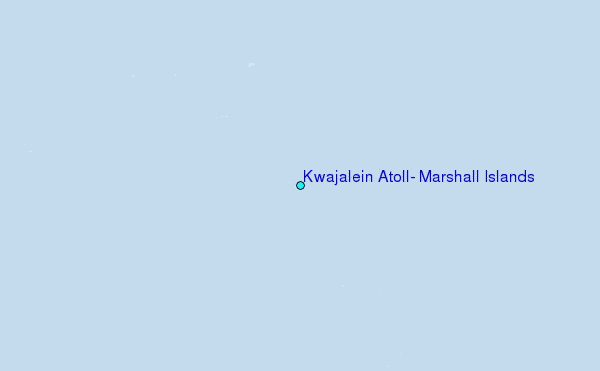