
| Distance / Altitude | Location | Report Date / Time | Live Weather | Wind | Gusts | Temp. | Visibility | Cloud |
|---|---|---|---|---|---|---|---|---|
| 117 km E / 211 m | Guayaquil/José Joaquín de Olmedo International Airport (Ecuador) | 2026-06-08 22:35 local (2026/06/09 03:35 GMT) | Light rain | light winds from the NNW (7 km/h at 330) | 25°C | 10.0 | few broken broken | |
| 126 km S / 15 m | ASCATC279E3S (Marine) | 2026-06-08 21:43 local (2026/06/09 02:43 GMT) | light winds from the S (18 km/h at 191) | — | - km | |||
| 136 km SW / 15 m | ASCATC278E3S (Marine) | 2026-06-08 21:44 local (2026/06/09 02:44 GMT) | light winds from the SSW (15 km/h at 201) | — | - km | |||
| 143 km N / 190 m | Manta/Eloy Alfaro International Airport (Ecuador) | 2026-06-08 22:00 local (2026/06/09 03:00 GMT) | Dry and cloudy | light winds from the SW (7 km/h at 220) | 25°C | 10.0 | overcast broken overcast | |
| 155 km S / 15 m | ASCATC279E4S (Marine) | 2026-06-08 21:43 local (2026/06/09 02:43 GMT) | light winds from the SSW (18 km/h at 196) | — | - km | |||
| 156 km SSE / 158 m | Tumbes Pedro Canga Rodríguez Airport (Peru) | 2026-06-08 22:00 local (2026/06/09 03:00 GMT) | Dry and partly cloudy | light winds from the W (11 km/h at 260) | 26°C | 10.0 | scattered | |
| 159 km SSE / 27 m | Tumbes (Peru) | 2026-06-08 22:00 local (2026/06/09 03:00 GMT) | Clouds dissolving | light winds from the W (11 km/h at 260) | 26°C | 30 km | scattered | |
| 164 km W / 15 m | ASCATC278E2S (Marine) | 2026-06-08 21:44 local (2026/06/09 02:44 GMT) | light winds from the S (16 km/h at 190) | — | - km | |||
| 209 km SSW / 15 m | ASCATB278E3S (Marine) | 2026-06-08 21:15 local (2026/06/09 02:15 GMT) | moderate winds from the S (21 km/h at 177) | — | - km | |||
| 213 km SSW / 15 m | ASCATC278E4S (Marine) | 2026-06-08 21:43 local (2026/06/09 02:43 GMT) | light winds from the S (19 km/h at 186) | — | - km |
| Contours: | Roads & Rivers: | Select a
tide station / surf break / city |
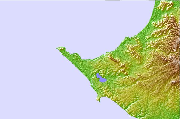
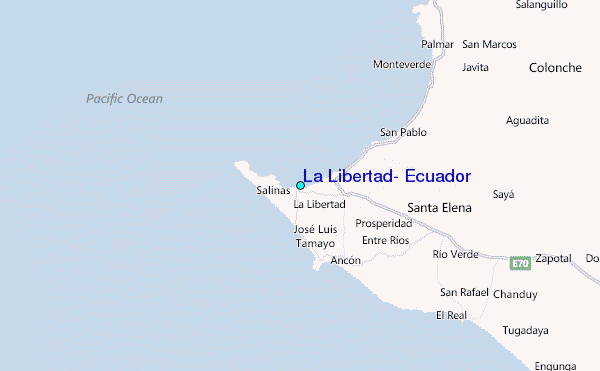
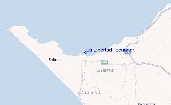
Use this relief map to navigate to tide stations, surf breaks and cities that are in the area of La Libertad, Ecuador.
Other Nearby Locations' tide tables and tide charts to La Libertad, Ecuador:
click location name for more details
 Surf breaks close to La Libertad, Ecuador:
|
||
|---|---|---|
| Closest surf break | Punta San Lorenzo | 1 mi |
| Second closest surf break | El Miramar | 1 mi |
| Third closest surf break | Elle Muelle de Ecuasal | 3 mi |
| Fourth closest surf break | La FAE | 3 mi |
| Fifth closest surf break | Punta Chulluype | 3 mi |


 Nearest
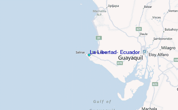