
| Distance / Altitude | Location | Report Date / Time | Live Weather | Wind | Gusts | Temp. | Visibility | Cloud |
|---|---|---|---|---|---|---|---|---|
| 72 km ESE / 133 m | Culiacan (city) Airport (Mexico) | 2024-04-19 14:43 local (2024/04/19 20:43 GMT) | - | light winds from the WSW (9 km/h at 240) | 36°C | 16 | few | |
| 79 km SE / 39 m | Culiacan-Sin. (Mexico) | 2024-04-19 14:00 local (2024/04/19 20:00 GMT) | - | calm (4 km/h at 100) | 37°C | 36 km | clear | |
| 121 km W / 180 m | Los Mochis Airport (Mexico) | 2024-04-19 14:40 local (2024/04/19 20:40 GMT) | - | moderate winds from the SSW (28 km/h at 210) | — | 16 | ||
| 183 km N / 238 m | Choix-Sin. (Mexico) | 2024-04-19 14:00 local (2024/04/19 20:00 GMT) | - | calm (4 km/h at 340) | 41°C | 50 km | few | |
| 253 km SW / 18 m | LAPaz-Bcs (Mexico) | 2024-04-19 14:00 local (2024/04/19 20:00 GMT) | - | light winds from the NW (14 km/h at 320) | 34°C | 50 km | - clear - |
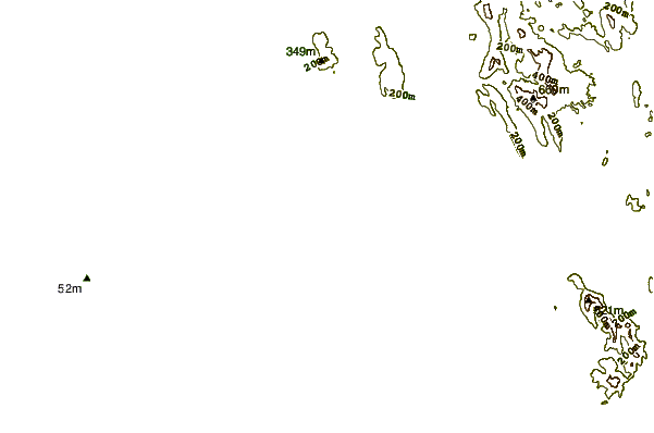
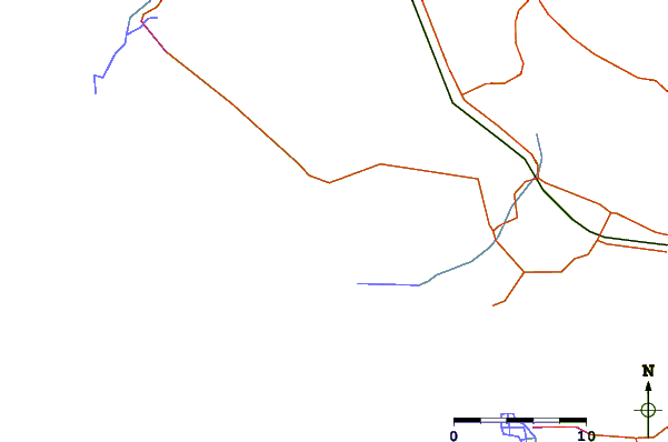
| Contours: | Roads & Rivers: | Select a
tide station / surf break / city |
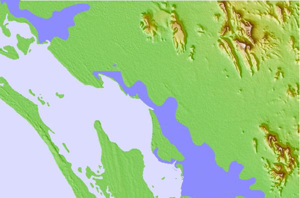
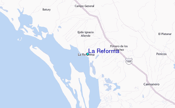
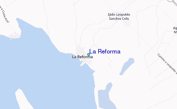
Use this relief map to navigate to tide stations, surf breaks and cities that are in the area of La Reforma.
Other Nearby Locations' tide tables and tide charts to La Reforma:
click location name for more details
 Surf breaks close to La Reforma:
|
||
|---|---|---|
| Closest surf break | Celestino | 111 mi |
| Second closest surf break | Patole | 125 mi |
| Third closest surf break | Dimas Rivermouth | 129 mi |
| Fourth closest surf break | El 29 A Dimas | 134 mi |
| Fifth closest surf break | Punta Arenas | 138 mi |

 Nearest
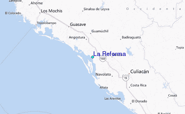