
| Distance / Altitude | Location | Report Date / Time | Live Weather | Wind | Gusts | Temp. | Visibility | Cloud |
|---|---|---|---|---|---|---|---|---|
| 93 km NNE / 0 m | Broome Ntc Aws (Australia) | 2024-04-20 01:00 local (2024/04/19 17:00 GMT) | no report | fresh winds from the ESE (31 km/h at 110) | 27°C | - | - - - | |
| 98 km NNE / 9 m | Broome Airport (Australia) | 2024-04-20 02:00 local (2024/04/19 18:00 GMT) | no report | light winds from the ESE (13 km/h at 110) | 25°C | - | - no observation - | |
| 99 km NNE / 218 m | Broome Airport (Australia) | 2024-04-20 01:30 local (2024/04/19 17:30 GMT) | Dry and partly cloudy | light winds from the ESE (13 km/h at 110) | 25°C | 10.0 | no cloud | |
| 149 km SSW / 78 m | Mandora (Australia) | 2024-04-20 02:00 local (2024/04/19 18:00 GMT) | - | light winds from the SE (15 km/h at 130) | 25°C | - | no observation | |
| 252 km NE / 7 m | Derby Airport (Australia) | 2024-04-20 02:00 local (2024/04/19 18:00 GMT) | - | light winds from the SE (13 km/h at 140) | 25°C | - | no observation |
| Contours: | Roads & Rivers: | Select a
tide station / surf break / city |
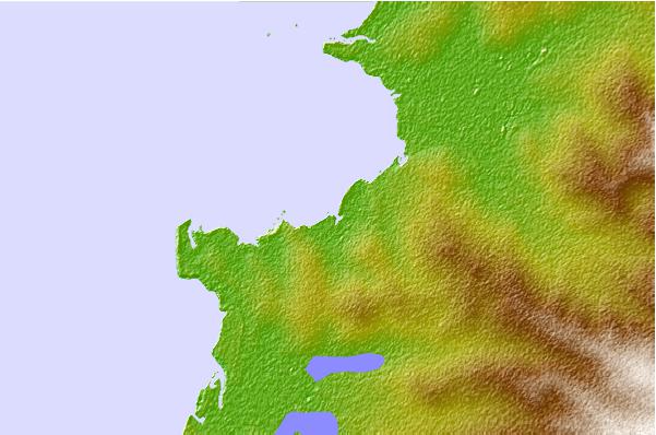
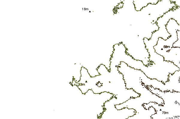
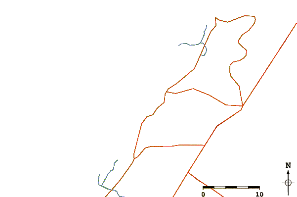
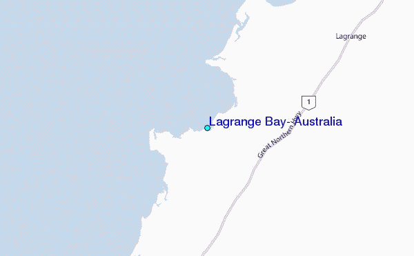
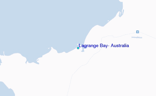
Use this relief map to navigate to tide stations, surf breaks and cities that are in the area of Lagrange Bay, Australia.
Other Nearby Locations' tide tables and tide charts to Lagrange Bay, Australia:
click location name for more details
 Surf breaks close to Lagrange Bay, Australia:
|
||
|---|---|---|
| Closest surf break | Gantheaume Point (Broome) | 58 mi |
| Second closest surf break | Cable Beach (Broome) | 64 mi |
| Third closest surf break | Dunes | 537 mi |
| Fourth closest surf break | Ndana | 540 mi |
| Fifth closest surf break | Boa | 543 mi |

 Nearest
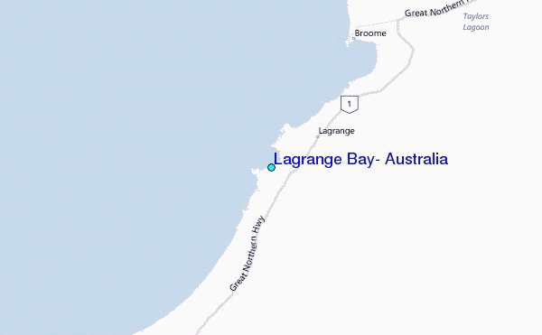