
| Distance / Altitude | Location | Report Date / Time | Live Weather | Wind | Gusts | Temp. | Visibility | Cloud |
|---|---|---|---|---|---|---|---|---|
| 21 km SSE / 3 m | BUOY-46277 (Marine) | 2024-04-18 20:26 local (2024/04/19 03:26 GMT) | - (- km/h at -) | — | - | |||
| 22 km WNW / 218 m | Costa Mesa Airport (California) | 2024-04-18 20:18 local (2024/04/19 03:18 GMT) | Dry and partly cloudy | light winds from the SSW (9 km/h at 200) | 17°C | 16 | scattered | |
| 22 km NW / 22.8 m | Irvine (California) | 2024-04-18 21:00 local (2024/04/19 04:00 GMT) | dry | calm (0 km/h at 197) | 18°C | - | - - 0 | |
| 32 km ENE / 850 m | Edwards (United States) | 2024-04-18 21:00 local (2024/04/19 04:00 GMT) | - | calm (2 km/h at 307) | 13°C | - | - - 0 | |
| 32 km SE / 3 m | BUOY-46275 (Marine) | 2024-04-18 20:30 local (2024/04/19 03:30 GMT) | - (- km/h at -) | 15°C | - |
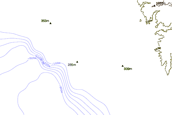
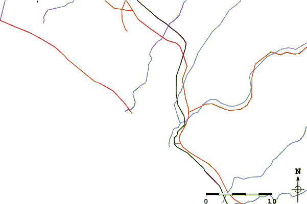
| Contours: | Roads & Rivers: | Select a
tide station / surf break / city |
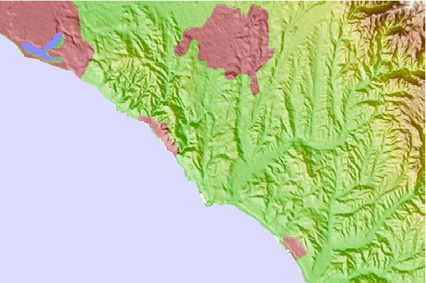
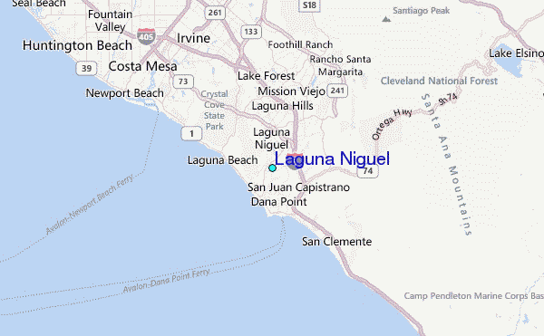
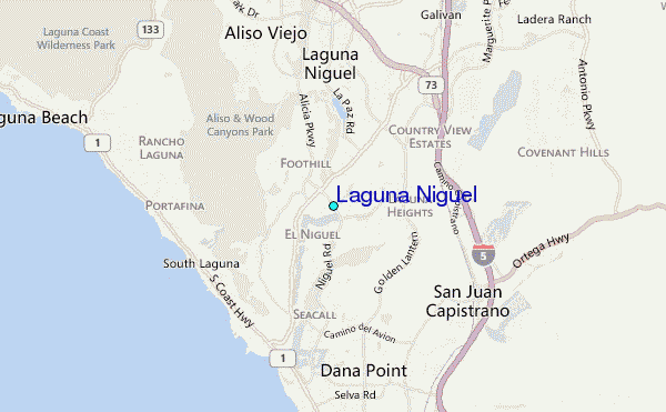
Use this relief map to navigate to tide stations, surf breaks and cities that are in the area of Laguna Niguel.
Other Nearby Locations' tide tables and tide charts to Laguna Niguel:
click location name for more details
 Surf breaks close to Laguna Niguel:
|
||
|---|---|---|
| Closest surf break | Thousand Steps | 2 mi |
| Second closest surf break | Salt Creek Beach Park | 3 mi |
| Third closest surf break | Salt Creek Heroins | 3 mi |
| Fourth closest surf break | Salt Creek (Gravels) | 4 mi |
| Fifth closest surf break | Salt Creek Middles | 4 mi |

 Nearest
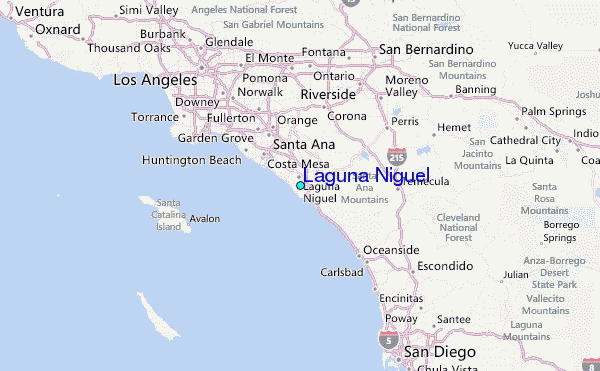