
| Distance / Altitude | Location | Report Date / Time | Live Weather | Wind | Gusts | Temp. | Visibility | Cloud |
|---|---|---|---|---|---|---|---|---|
| 40 km WSW / 162 m | Banjul/Yundum International Airport (Gambia) | 2024-04-25 04:00 local (2024/04/25 04:00 GMT) | - | light winds from the WNW (15 km/h at 290) | — | 0.0 | ||
| 92 km E / 3 m | SHIP697 (Marine) | 2024-04-25 03:00 local (2024/04/25 03:00 GMT) | strong winds from the NNE (39 km/h at 20) | 17°C | 20.4 | |||
| 161 km NW / 89 m | Blaise Diagne International Airport (Senegal) | 2024-04-25 04:00 local (2024/04/25 04:00 GMT) | Dry and partly cloudy | light winds from the NNW (19 km/h at 330) | 21°C | 7.0 | scattered few - | |
| 186 km SSE / 397 m | Bissau Airport (Guinea-bissau) | 2024-04-25 04:00 local (2024/04/25 04:00 GMT) | Dry and partly cloudy | light winds from the N (6 km/h at 1) | 22°C | 8.0 | no significant cloud - - | |
| 473 km SE / 72 m | Kénendé wx (Guinea) | 2024-04-25 05:19 local (2024/04/25 05:19 GMT) | dry | calm (0 km/h at 88) | 24°C | - | - - 0 |
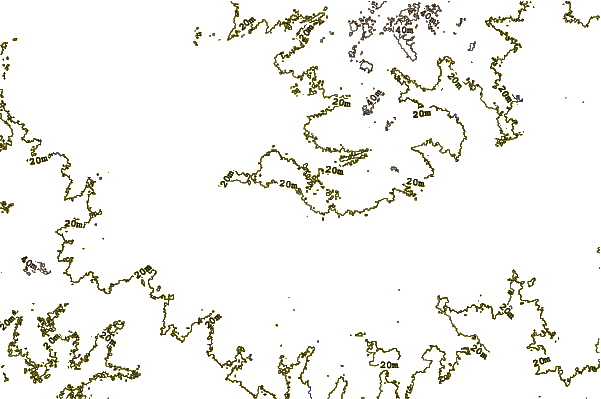
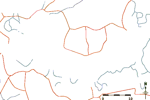
| Contours: | Roads & Rivers: | Select a
tide station / surf break / city |
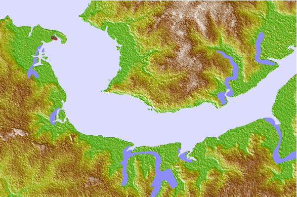
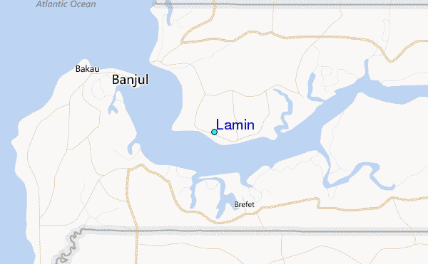
Use this relief map to navigate to tide stations, surf breaks and cities that are in the area of Lamin.
Other Nearby Locations' tide tables and tide charts to Lamin:
click location name for more details
 Surf breaks close to Lamin:
|
||
|---|---|---|
| Closest surf break | Senegambia Beach | 21 mi |
| Second closest surf break | Kololi Kotu Kombo | 22 mi |
| Third closest surf break | Cap Skirring | 72 mi |
| Fourth closest surf break | Baobab (Somone) | 88 mi |
| Fifth closest surf break | Piere de Lisse | 96 mi |

 Nearest
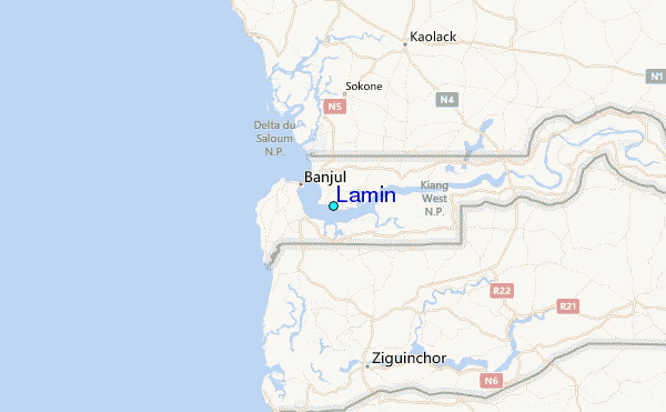