
| Distance / Altitude | Location | Report Date / Time | Live Weather | Wind | Gusts | Temp. | Visibility | Cloud |
|---|---|---|---|---|---|---|---|---|
| 4 km NNE / 10 m | Bolton le Sands (United Kingdom) | 2024-04-20 11:36 local (2024/04/20 10:36 GMT) | dry | light winds from the NNE (8 km/h at 13) | 11°C | - | - - 0 | |
| 9 km S / 3 m | SHIP439 (Marine) | 2024-04-20 09:00 local (2024/04/20 08:00 GMT) | - (- km/h at -) | 6°C | - | |||
| 17 km SW / 3 m | Morecambe Bay Waverider (Marine) | 2024-04-20 10:01 local (2024/04/20 09:01 GMT) | - (- km/h at -) | — | - | |||
| 28 km W / 15 m | Walney Island (United Kingdom) | 2024-04-20 11:00 local (2024/04/20 10:00 GMT) | no report | light winds from the SE (9 km/h at 140) | 9°C | 40 km | - overcast - | |
| 30 km SSW / 3 m | Cleveleys Waverider (Marine) | 2024-04-20 10:01 local (2024/04/20 09:01 GMT) | - (- km/h at -) | — | - |
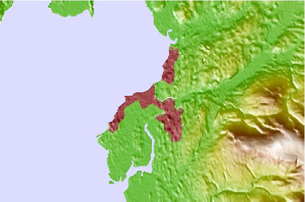
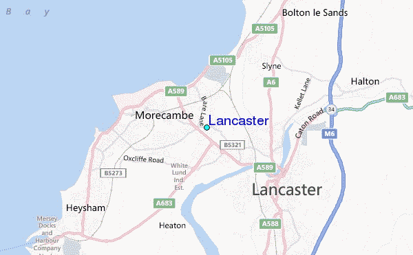
| Contours: | Roads & Rivers: | Select a
tide station / surf break / city |
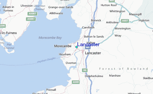
Use this relief map to navigate to tide stations, surf breaks and cities that are in the area of Lancaster.
Other Nearby Locations' tide tables and tide charts to Lancaster:
click location name for more details
 Surf breaks close to Lancaster:
|
||
|---|---|---|
| Closest surf break | Llanddulas Breakwater | 63 mi |
| Second closest surf break | Rhos-On-Sea | 64 mi |
| Third closest surf break | Llandudno | 65 mi |
| Fourth closest surf break | Castletown | 73 mi |
| Fifth closest surf break | Peel | 76 mi |

 Nearest