
| Distance / Altitude | Location | Report Date / Time | Live Weather | Wind | Gusts | Temp. | Visibility | Cloud |
|---|---|---|---|---|---|---|---|---|
| 99 km ENE / 506 m | Adak Naval Air Station Airport (Alaska) | 2024-04-17 19:56 local (2024/04/18 04:56 GMT) | Dry and cloudy | moderate winds from the N (28 km/h at 350) | 1°C | 16 | few scattered overcast | |
| 271 km ENE / 211 m | Atka Airport (Alaska) | 2024-04-17 19:56 local (2024/04/18 04:56 GMT) | Light rain | fresh winds from the NW (37 km/h at 310) | 1°C | 16 | overcast | |
| 273 km ENE / 3 m | BUOY-ATKA2 (Marine) | 2024-04-17 21:00 local (2024/04/18 06:00 GMT) | fresh winds from the NNW (37 km/h at 330) | 1°C | - | |||
| 405 km S / - m | SHIP9320 (ocean) | 2024-04-17 21:00 local (2024/04/18 06:00 GMT) | No report | moderate winds from the W (22 km/h at 280) | 5°C | >50 km | scattered | |
| 410 km E / 3 m | Central Aleutians Buoy (Marine) | 2024-04-17 21:10 local (2024/04/18 06:10 GMT) | strong winds from the NNW (47 km/h at 340) | — | - |
| Contours: | Roads & Rivers: | Select a
tide station / surf break / city |
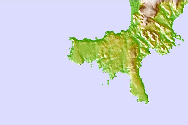
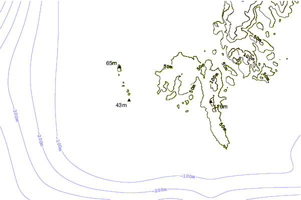
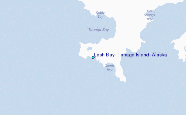
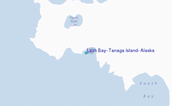
Use this relief map to navigate to tide stations, surf breaks and cities that are in the area of Lash Bay, Tanaga Island, Alaska.
Other Nearby Locations' tide tables and tide charts to Lash Bay, Tanaga Island, Alaska:
click location name for more details
 Surf breaks close to Lash Bay, Tanaga Island, Alaska:
|
||
|---|---|---|
| Closest surf break | Khalaktyrsky Beach | 975 mi |
| Second closest surf break | Fossil Beach Kodiak | 1096 mi |
| Third closest surf break | Monashka Bay | 1099 mi |
| Fourth closest surf break | Termination Point | 1101 mi |
| Fifth closest surf break | Mill Bay | 1102 mi |

 Nearest
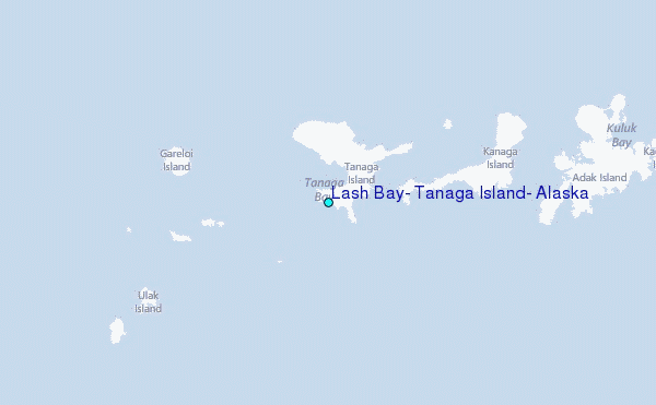