
| Distance / Altitude | Location | Report Date / Time | Live Weather | Wind | Gusts | Temp. | Visibility | Cloud |
|---|---|---|---|---|---|---|---|---|
| 1 km SE / 8 m | Lamentin -Aero (France) | 2024-04-25 14:00 local (2024/04/25 18:00 GMT) | no report | moderate winds from the ESE (25 km/h at 110) | 31°C | 50 | - | |
| 13 km N / 171 m | Rivière Lézarde wx (Martinique) | 2024-04-25 15:25 local (2024/04/25 19:25 GMT) | dry | calm (5 km/h at 33) | 27°C | - | - - 0 | |
| 65 km S / 2 m | GeorgeF.l.Charles Airport (Saint Lucia) | 2024-04-25 14:00 local (2024/04/25 18:00 GMT) | Widespread dust in suspension not raised by wind | moderate winds from the ESE (20 km/h at 110) | 31°C | 40 km | scattered | |
| 65 km S / 348 m | George F. L. Charles Airport/Vigie/St Lucia (Lesser Antilles) | 2024-04-25 14:00 local (2024/04/25 18:00 GMT) | Dry and partly cloudy | moderate winds from the ESE (20 km/h at 110) | 31°C | 10.0 | scattered | |
| 68 km S / 3 m | SHIP1809 (Marine) | 2024-04-25 13:00 local (2024/04/25 17:00 GMT) | - (- km/h at -) | 29°C | - |
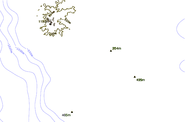
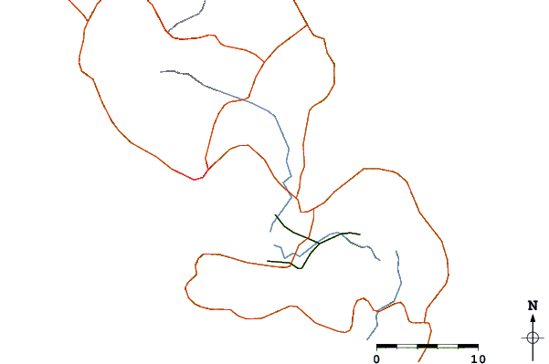
| Contours: | Roads & Rivers: | Select a
tide station / surf break / city |
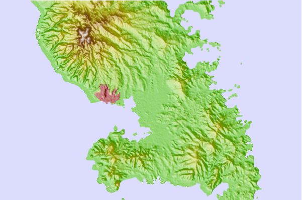
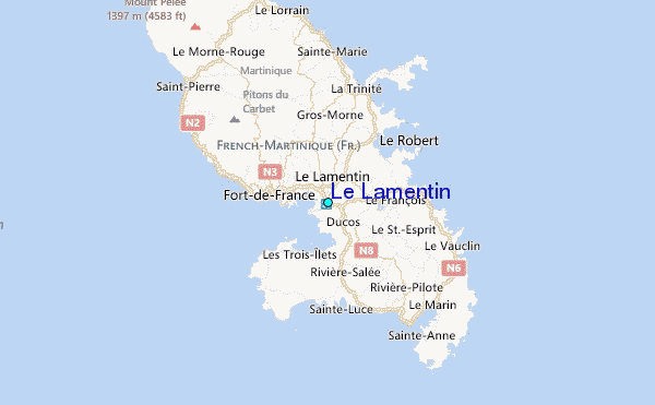
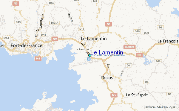
Use this relief map to navigate to tide stations, surf breaks and cities that are in the area of Le Lamentin.
Other Nearby Locations' tide tables and tide charts to Le Lamentin:
click location name for more details
 Surf breaks close to Le Lamentin:
|
||
|---|---|---|
| Closest surf break | Diam's | 9 mi |
| Second closest surf break | Anse Cafard | 11 mi |
| Third closest surf break | Cocoa | 13 mi |
| Fourth closest surf break | Plage des Surfeurs | 13 mi |
| Fifth closest surf break | Pelle a Tarte | 14 mi |

 Nearest
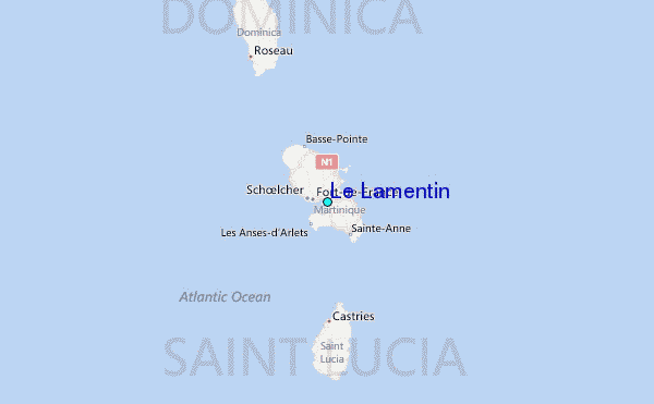