
| Distance / Altitude | Location | Report Date / Time | Live Weather | Wind | Gusts | Temp. | Visibility | Cloud |
|---|---|---|---|---|---|---|---|---|
| 15 km SW / 183 m | Forbord (Norway) | 2024-04-23 15:00 local (2024/04/23 13:00 GMT) | - | fresh winds from the W (33 km/h at 277) | — | - | - - 0 | |
| 31 km NNE / 40 m | Steinkjer (Norway) | 2024-04-23 13:00 local (2024/04/23 11:00 GMT) | - | light winds from the WNW (11 km/h at 300) | 6°C | - | no observation | |
| 36 km SSW / 40 m | Kvithamar (Norway) | 2024-04-23 14:00 local (2024/04/23 12:00 GMT) | no report | - (- km/h at -) | 6°C | - | - | |
| 36 km SSW / 70 m | Frosta (Norway) | 2024-04-23 14:00 local (2024/04/23 12:00 GMT) | no report | - (- km/h at -) | 6°C | - | - | |
| 37 km S / 17 m | Trondheim/Vernes (Norway) | 2024-04-23 14:00 local (2024/04/23 12:00 GMT) | no report | fresh winds from the W (32 km/h at 270) | 6°C | - | - - - |
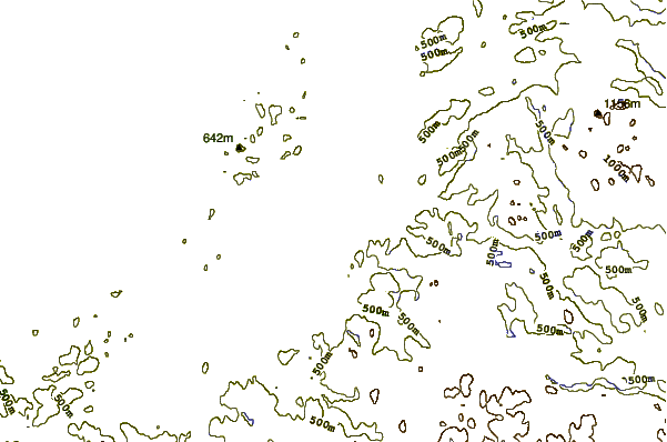
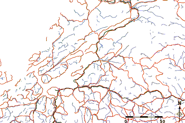
| Contours: | Roads & Rivers: | Select a
tide station / surf break / city |
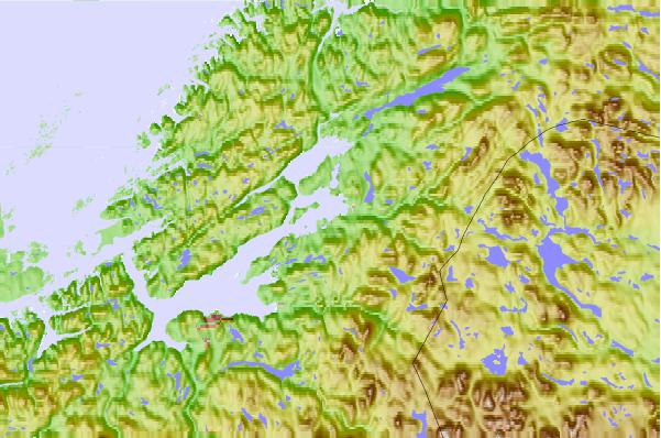
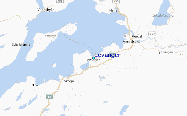
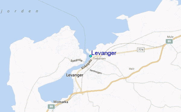
Use this relief map to navigate to tide stations, surf breaks and cities that are in the area of Levanger.
Other Nearby Locations' tide tables and tide charts to Levanger:
click location name for more details
 Surf breaks close to Levanger:
|
||
|---|---|---|
| Closest surf break | Farstadstranda | 139 mi |
| Second closest surf break | Ulla | 176 mi |
| Third closest surf break | Alnes Lighthouse | 188 mi |
| Fourth closest surf break | Flo | 194 mi |
| Fifth closest surf break | Ervika | 223 mi |

 Nearest
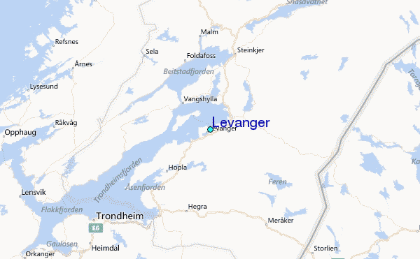