
| Distance / Altitude | Location | Report Date / Time | Live Weather | Wind | Gusts | Temp. | Visibility | Cloud |
|---|---|---|---|---|---|---|---|---|
| 50 km SSW / 7 m | Nausori (Fiji) | 2026-06-09 15:00 local (2026/06/09 03:00 GMT) | no report | light winds from the SE (11 km/h at 130) | 25°C | 50 | - | |
| 50 km SSW / 106 m | Nausori International Airport (Fiji/tonga/tuvalu) | 2026-06-09 14:00 local (2026/06/09 02:00 GMT) | Dry and partly cloudy | moderate winds from the ESE (22 km/h at 120) | 26°C | 10.0 | scattered broken | |
| 50 km SSW / 106 m | Nausori International Airport (Fiji/tonga/tuvalu) | 2026-06-09 14:00 local (2026/06/09 02:00 GMT) | Dry and partly cloudy | moderate winds from the ESE (22 km/h at 120) | 26°C | 10.0 | scattered broken | |
| 109 km NNE / 13 m | Savusavu Airport (Fiji/tonga/tuvalu) | 2026-06-09 14:00 local (2026/06/09 02:00 GMT) | Dry and partly cloudy | moderate winds from the SE (24 km/h at 140) | 26°C | 10.0 | scattered broken | |
| 144 km NNE / 17 m | Lambasa Airport (Fiji/tonga/tuvalu) | 2026-06-09 14:00 local (2026/06/09 02:00 GMT) | Dry and partly cloudy | moderate winds from the SE (22 km/h at 140) | 27°C | 10.0 | few broken | |
| 148 km SW / 6 m | Sigatoka (Fiji) | 2026-06-09 15:38 local (2026/06/09 03:38 GMT) | dry | calm (0 km/h at ) | — | - | - - 0 | |
| 149 km WSW / 44 m | Nandi/Nadi International Airport (Fiji) | 2026-06-09 14:00 local (2026/06/09 02:00 GMT) | Dry and partly cloudy | moderate winds from the SE (20 km/h at 140) | 27°C | 10.0 | scattered | |
| 149 km WSW / 31 m | Nadi (Fiji) | 2026-06-09 15:00 local (2026/06/09 03:00 GMT) | no report | calm (4 km/h at 140) | 26°C | - | - | |
| 149 km WSW / 24 m | Nadi Airport (Fiji) | 2026-06-09 15:00 local (2026/06/09 03:00 GMT) | no report | light winds from the S (9 km/h at 190) | 25°C | 50 | scattered - - | |
| 156 km NE / 21 m | Matei/taveuni IS (Fiji/tonga/tuvalu) | 2026-06-09 14:00 local (2026/06/09 02:00 GMT) | Dry and partly cloudy | fresh winds from the S (30 km/h at 170) | 26°C | 10.0 | broken |
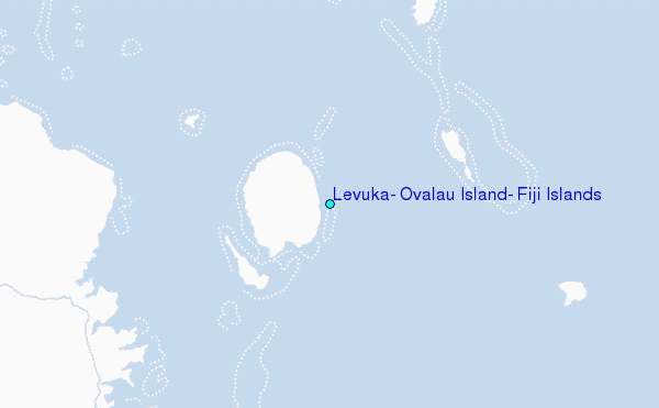
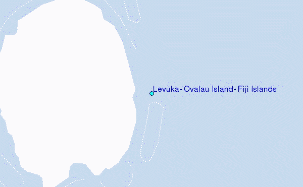
Choose Levuka, Ovalau Island, Fiji Islands Location Map Zoom:
| Contours: | Roads & Rivers: | Select a
tide station / surf break / city |
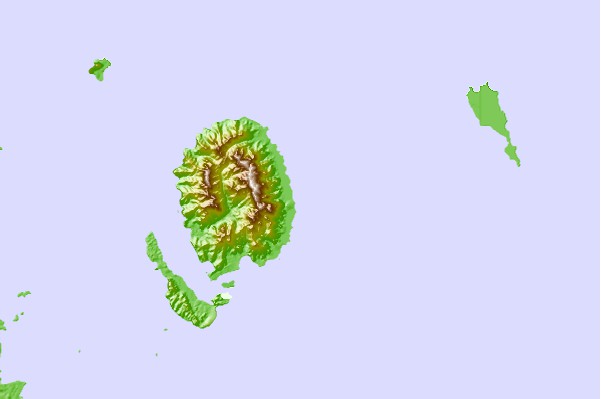
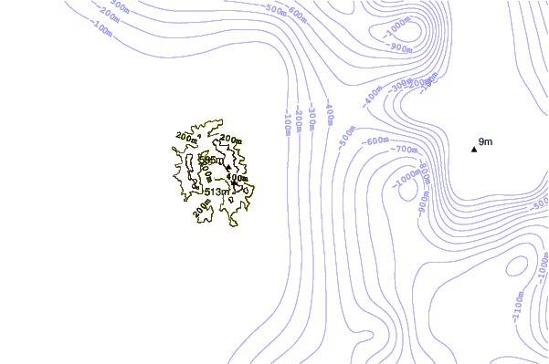
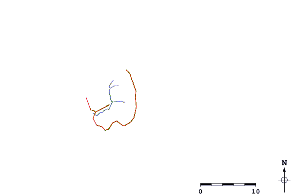
Use this relief map to navigate to tide stations, surf breaks and cities that are in the area of Levuka, Ovalau Island, Fiji Islands.
Other Nearby Locations' tide tables and tide charts to Levuka, Ovalau Island, Fiji Islands:
click location name for more details
 Surf breaks close to Levuka, Ovalau Island, Fiji Islands:
|
||
|---|---|---|
| Closest surf break | Lighthouse | 44 mi |
| Second closest surf break | Serua Rights | 72 mi |
| Third closest surf break | Waidroka | 73 mi |
| Fourth closest surf break | Pipes | 75 mi |
| Fifth closest surf break | Vunaniu | 76 mi |


 Nearest
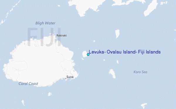