
| Distance / Altitude | Location | Report Date / Time | Live Weather | Wind | Gusts | Temp. | Visibility | Cloud |
|---|---|---|---|---|---|---|---|---|
| 42 km N / 65 m | Alert (Canada) | 2026-06-09 00:00 local (2026/06/09 04:00 GMT) | no report | wind obs. (7 kph from 90 degs) was rejected (- km/h at -) | 1°C | - | - - - | |
| 427 km NE / 4 m | Kap Morris Jesup (Greenland) | 2026-06-09 01:00 local (2026/06/09 05:00 GMT) | no report | light winds from the E (15 km/h at 90) | -1°C | - | - | |
| 473 km SW / 65 m | Eureka Climate (Canada) | 2026-06-09 01:00 local (2026/06/09 05:00 GMT) | no report | wind obs. (14 kph from 300 degs) was rejected (- km/h at -) | 4°C | - | - - - | |
| 536 km S / 17 m | MittarfikQaanaaq (Greenland) | 2026-06-09 00:00 local (2026/06/09 04:00 GMT) | - | calm (2 km/h at 300) | — | 45 | - few - | |
| 638 km S / 218 m | Thule Air Base Airport (Greenland) | 2026-06-08 23:55 local (2026/06/09 03:55 GMT) | Clear | calm (0 km/h at 0) | -1°C | 10.0 | ||
| 650 km S / 15 m | Carey Island (Greenland) | 2026-06-09 01:00 local (2026/06/09 05:00 GMT) | no report | wind obs. (19 kph from 280 degs) was rejected (- km/h at -) | 4°C | - | - no observation - | |
| 702 km ENE / 36 m | Station Nord (Greenland) | 2026-06-09 01:00 local (2026/06/09 05:00 GMT) | no report | wind obs. (6 kph from 90 degs) was rejected (- km/h at -) | 3°C | - | - | |
| 760 km SSW / 44 m | Grise Fiord Climate- NU (Canada) | 2026-06-09 01:00 local (2026/06/09 05:00 GMT) | no report | calm (4 km/h at 130) | 1°C | - | - | |
| 801 km ENE / 10 m | HenrikKroeyerHolme (Greenland) | 2026-06-09 01:00 local (2026/06/09 05:00 GMT) | no report | wind obs. (9 kph from 230 degs) was rejected (- km/h at -) | -2°C | - | - no observation - | |
| 907 km S / 40 m | Edderfugle Oeer (Greenland) | 2026-06-09 01:00 local (2026/06/09 05:00 GMT) | no report | moderate winds from the NNW (20 km/h at 340) | 0°C | - | - |

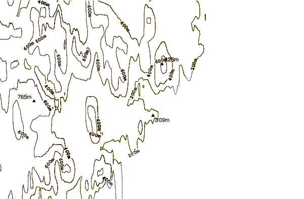
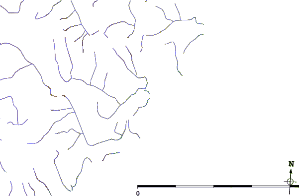
| Contours: | Roads & Rivers: | Select a
tide station / surf break / city |
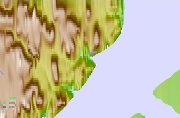
Use this relief map to navigate to tide stations, surf breaks and cities that are in the area of Lincoln Bay, Nunavut.
Other Nearby Locations' tide tables and tide charts to Lincoln Bay, Nunavut:
click location name for more details
 Surf breaks close to Lincoln Bay, Nunavut:
|
||
|---|---|---|
| Closest surf break | Eyvik | 1324 mi |
| Second closest surf break | Grotta | 1413 mi |
| Third closest surf break | Garur | 1414 mi |
| Fourth closest surf break | Hafnarfjordur | 1421 mi |
| Fifth closest surf break | Hafnir | 1424 mi |


 Nearest
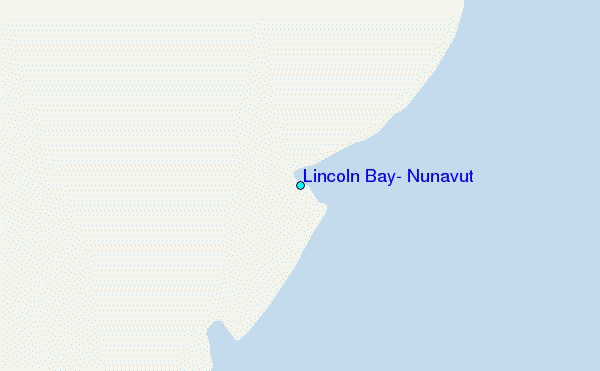