
| Distance / Altitude | Location | Report Date / Time | Live Weather | Wind | Gusts | Temp. | Visibility | Cloud |
|---|---|---|---|---|---|---|---|---|
| 10 km WNW / 196 m | Saint Anthony Airport (Newfoundland) | 2026-06-09 14:30 local (2026/06/09 17:00 GMT) | Clear | light winds from the NW.(Wind varies from 280 to 350 degs) (11 km/h at 310) | 16°C | 14 | ||
| 11 km WNW / 33 m | St. Anthony- Nfld (Canada) | 2026-06-09 15:30 local (2026/06/09 18:00 GMT) | - | wind obs. (40 kph from 230 degs) was rejected (- km/h at -) | — | - | - | |
| 40 km ENE / 10 m | St. Lunaire - Griquet (Canada) | 2026-06-09 15:17 local (2026/06/09 17:47 GMT) | dry | moderate winds from the NW (23 km/h at 324) | — | - | - - 0 | |
| 69 km S / 30 m | Englee(Aut)-Nfld (Canada) | 2026-06-09 15:30 local (2026/06/09 18:00 GMT) | - | wind obs. (47 kph from 280 degs) was rejected (- km/h at -) | — | - | - no observation - | |
| 70 km S / 216 m | Englee Airport (Newfoundland) | 2026-06-09 14:30 local (2026/06/09 17:00 GMT) | - | light winds from the SE (11 km/h at 130) | 13°C | 0.0 | ||
| 86 km WSW / 216 m | Blanc Sablon Airport (Quebec) | 2026-06-09 14:30 local (2026/06/09 17:00 GMT) | - | light winds from the WSW.(Wind varies from 220 to 290 degs) (15 km/h at 250) | 11°C | 24 | few | |
| 87 km WSW / 37 m | Lourdes DE Blanc Sablon A- Que (Canada) | 2026-06-09 15:30 local (2026/06/09 18:00 GMT) | no report | - (- km/h at -) | 10°C | - | - | |
| 88 km SW / 6 m | FerollePoint(Aut)- Nfld (Canada) | 2026-06-09 15:30 local (2026/06/09 18:00 GMT) | - | wind obs. (50 kph from 200 degs) was rejected (- km/h at -) | — | - | - no observation - | |
| 88 km SW / 216 m | Ferolle Point Airport (Newfoundland) | 2026-06-09 14:30 local (2026/06/09 17:00 GMT) | - | light winds from the SSW (15 km/h at 200) | 9°C | 0.0 | ||
| 106 km N / 217 m | Mary's Harbour Airport (Newfoundland) | 2026-06-09 14:30 local (2026/06/09 17:00 GMT) | Clear | light winds from the NE (19 km/h at 40) | 14°C | 14 |
| Contours: | Roads & Rivers: | Select a
tide station / surf break / city |
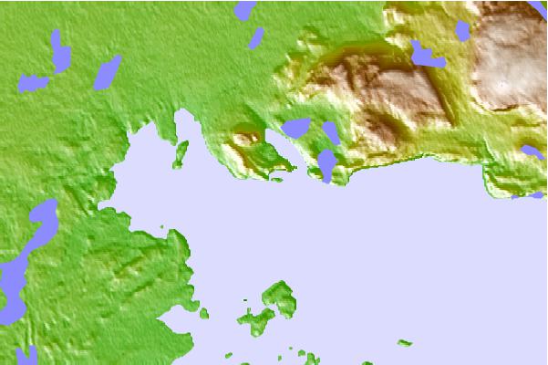
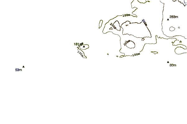
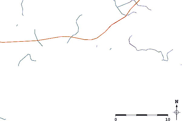
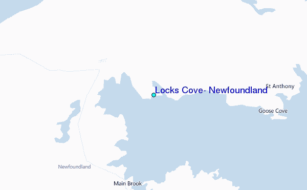
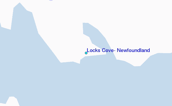
Use this relief map to navigate to tide stations, surf breaks and cities that are in the area of Locks Cove, Newfoundland.
Other Nearby Locations' tide tables and tide charts to Locks Cove, Newfoundland:
click location name for more details
 Surf breaks close to Locks Cove, Newfoundland:
|
||
|---|---|---|
| Closest surf break | Ingonish Beach | 382 mi |
| Second closest surf break | Kennington Cove | 421 mi |
| Third closest surf break | Michaud Point | 454 mi |
| Fourth closest surf break | Martinique | 567 mi |
| Fifth closest surf break | Lawrencetown Left Point | 574 mi |


 Nearest
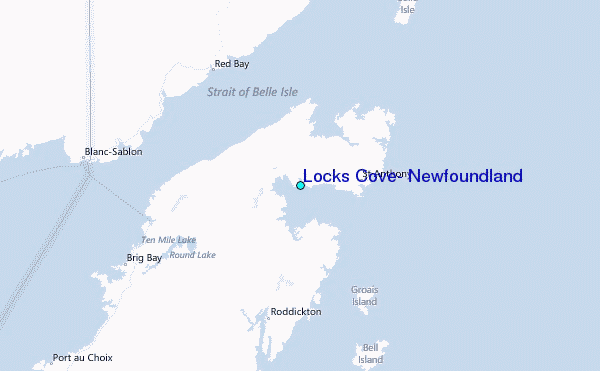