
| Distance / Altitude | Location | Report Date / Time | Live Weather | Wind | Gusts | Temp. | Visibility | Cloud |
|---|---|---|---|---|---|---|---|---|
| 49 km SW / 6 m | Munda-New Georgia (Solomon Islands) | 2026-06-09 15:00 local (2026/06/09 04:00 GMT) | distant precipitation but not falling at station | - (- km/h at -) | 25°C | 4000 | - - - | |
| 218 km WNW / 3 m | Taro Island (Solomon Islands) | 2026-06-09 15:00 local (2026/06/09 04:00 GMT) | distant precipitation but not falling at station | light winds from the SE (11 km/h at 140) | 26°C | 20 | - | |
| 285 km ESE / 182 m | Honiara (Solomon Islands) | 2026-06-09 15:00 local (2026/06/09 04:00 GMT) | moderate to heavy rain showers | moderate winds from the S (22 km/h at 180) | 24°C | 10 | - | |
| 294 km ESE / 484 m | Honiara/Henderson Airport (Solomon Islands) | 2026-06-09 16:00 local (2026/06/09 05:00 GMT) | - | calm (4 km/h at 320) | 28°C | 10.0 | few few broken | |
| 342 km ESE / 11 m | Auki (Solomon Islands) | 2026-06-09 15:00 local (2026/06/09 04:00 GMT) | distant precipitation but not falling at station | calm (4 km/h at 90) | 28°C | 10 | - overcast - | |
| 424 km ESE / 36 m | lightning 109km ESE of Auki (Solomon Islands) | 2026-06-09 14:16 local (2026/06/09 03:16 GMT) | Thunderstorm | (- km/h at -) | — | |||
| 454 km SE / 15 m | Tingoa (Solomon Islands) | 2026-06-09 14:00 local (2026/06/09 03:00 GMT) | Distant precipitation but not falling at station | light winds from the SE (9 km/h at 140) | 29°C | 20 km | mostly cloudy | |
| 841 km SW / 23 m | Gurney (Papua New Guinea) | 2026-06-09 14:00 local (2026/06/09 03:00 GMT) | distant precipitation but not falling at station | - (- km/h at -) | 26°C | 30 | - - - | |
| 893 km ESE / 0 m | lightning (Solomon Islands) | 2026-06-09 16:33 local (2026/06/09 05:33 GMT) | Thunderstorm | (- km/h at -) | — | |||
| 934 km ESE / 24 m | Santa Cruz Island (Solomon Islands) | 2026-06-09 15:00 local (2026/06/09 04:00 GMT) | light rain showers | light winds from the E (11 km/h at 90) | 26°C | 20 | - overcast - |
| Contours: | Roads & Rivers: | Select a
tide station / surf break / city |
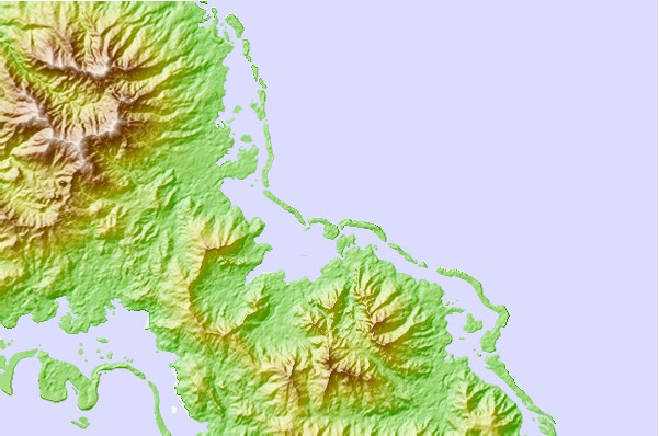
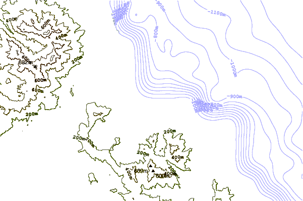
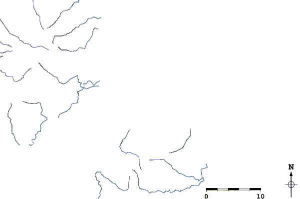
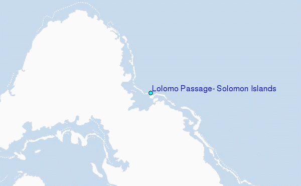
Use this relief map to navigate to tide stations, surf breaks and cities that are in the area of Lolomo Passage, Solomon Islands.
Other Nearby Locations' tide tables and tide charts to Lolomo Passage, Solomon Islands:
click location name for more details
 Surf breaks close to Lolomo Passage, Solomon Islands:
|
||
|---|---|---|
| Closest surf break | Kundu Kundu | 34 mi |
| Second closest surf break | Lavata | 34 mi |
| Third closest surf break | Mbirimbiri | 35 mi |
| Fourth closest surf break | Skull Island | 37 mi |
| Fifth closest surf break | Despretes | 41 mi |


 Nearest
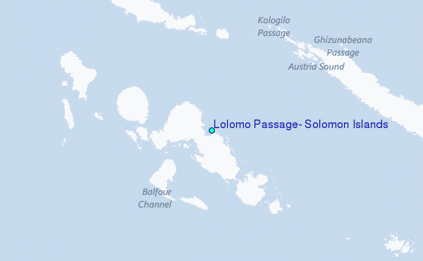