
| Distance / Altitude | Location | Report Date / Time | Live Weather | Wind | Gusts | Temp. | Visibility | Cloud |
|---|---|---|---|---|---|---|---|---|
| 2 km E / 135 m | Loreto Airport (Mexico) | 2026-06-09 13:40 local (2026/06/09 20:40 GMT) | - | wind obs. (19 kph from 20 degs) was rejected (- km/h at -) | — | 16 | few | |
| 215 km NE / 151 m | Ciudad Obregón Airport (Mexico) | 2026-06-09 13:40 local (2026/06/09 20:40 GMT) | - | light winds from the SSW (15 km/h at 200) | — | 16 | ||
| 219 km N / 223 m | Guaymas International Airport (Mexico) | 2026-06-09 13:40 local (2026/06/09 20:40 GMT) | - | light winds from the SSW (19 km/h at 200) | — | 16 | ||
| 228 km SSE / 3 m | SHIP9455 (Marine) | 2026-06-09 14:00 local (2026/06/09 21:00 GMT) | - (- km/h at -) | 31°C | - | |||
| 232 km E / 180 m | Los Mochis Airport (Mexico) | 2026-06-09 13:40 local (2026/06/09 20:40 GMT) | Dry and partly cloudy | fresh winds from the SW (31 km/h at 230) | 31°C | 16 | scattered | |
| 227 km SSE / 15 m | SHIP4592 (Marine) | 2026-06-09 12:00 local (2026/06/09 19:00 GMT) | - (- km/h at -) | — | - km | |||
| 227 km SSE / 3 m | SHIP8968 (Marine) | 2026-06-09 12:00 local (2026/06/09 19:00 GMT) | - (- km/h at -) | 29°C | - | |||
| 227 km SSE / 3 m | SHIP4942 (Marine) | 2026-06-09 12:00 local (2026/06/09 19:00 GMT) | - (- km/h at -) | 29°C | - | |||
| 227 km SSE / 15 m | SHIP7661 (Marine) | 2026-06-09 12:00 local (2026/06/09 19:00 GMT) | - (- km/h at -) | — | - km | |||
| 227 km SSE / 15 m | SHIP4104 (Marine) | 2026-06-09 12:00 local (2026/06/09 19:00 GMT) | - (- km/h at -) | — | - km |

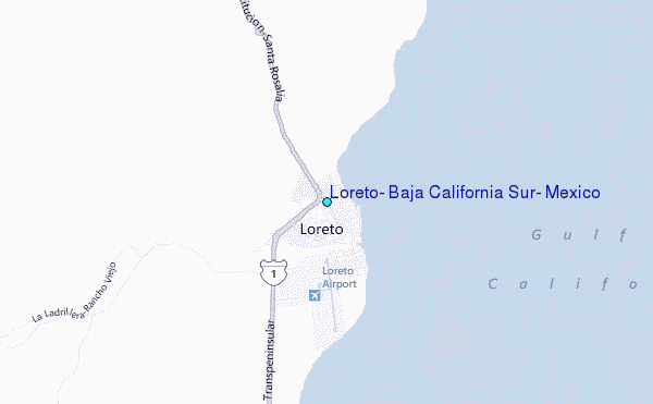
Choose Loreto, Baja California Sur, Mexico Location Map Zoom:
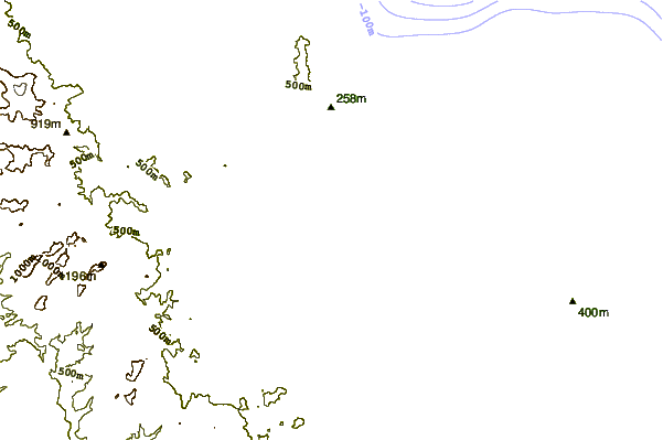
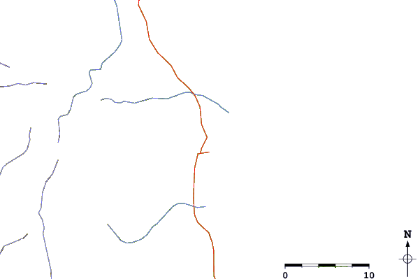
| Contours: | Roads & Rivers: | Select a
tide station / surf break / city |
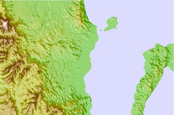
Use this relief map to navigate to tide stations, surf breaks and cities that are in the area of Loreto, Baja California Sur, Mexico.
Other Nearby Locations' tide tables and tide charts to Loreto, Baja California Sur, Mexico:
click location name for more details
 Surf breaks close to Loreto, Baja California Sur, Mexico:
|
||
|---|---|---|
| Closest surf break | Las Barrancas | 52 mi |
| Second closest surf break | San Jorge | 54 mi |
| Third closest surf break | Punta San Gregorio | 60 mi |
| Fourth closest surf break | Scorpion Bay (San Juanico) | 73 mi |
| Fifth closest surf break | La Laguna | 78 mi |


 Nearest
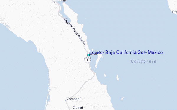