
| Distance / Altitude | Location | Report Date / Time | Live Weather | Wind | Gusts | Temp. | Visibility | Cloud |
|---|---|---|---|---|---|---|---|---|
| 23 km S / 3 m | SHIP5074 (Marine) | 2026-06-09 04:00 local (2026/06/09 12:00 GMT) | light winds from the NW (11 km/h at 310) | 10°C | - | |||
| 23 km S / 3 m | BUOY-WCXA2 (Marine) | 2026-06-09 06:02 local (2026/06/09 14:02 GMT) | - (0 km/h at -) | 10°C | - | |||
| 23 km SSW / 3 m | BUOY-GIXA2 (Marine) | 2026-06-09 06:02 local (2026/06/09 14:02 GMT) | - (0 km/h at -) | 11°C | - | |||
| 28 km S / 3 m | BUOY-KEXA2 (Marine) | 2026-06-09 06:02 local (2026/06/09 14:02 GMT) | calm (4 km/h at 90) | — | - | |||
| 28 km S / 211 m | Ketchikan Airport (Alaska) | 2026-06-09 04:53 local (2026/06/09 12:53 GMT) | Clear | light winds from the WNW (7 km/h at 300) | 9°C | 16 | ||
| 23 km S / 15 m | SHIP8694 (Marine) | 2026-06-09 04:00 local (2026/06/09 12:00 GMT) | light winds from the NW (11.16 km/h at 310) | — | - km | |||
| 23 km S / 3 m | BUOY-WCXA2 (Marine) | 2026-06-09 06:02 local (2026/06/09 14:02 GMT) | - (0 km/h at -) | 10°C | - | |||
| 23 km SSW / 3 m | BUOY-GIXA2 (Marine) | 2026-06-09 06:02 local (2026/06/09 14:02 GMT) | - (0 km/h at -) | 11°C | - | |||
| 23 km S / 15 m | SHIP3560 (Marine) | 2026-06-09 04:00 local (2026/06/09 12:00 GMT) | light winds from the WNW (9.360000000000001 km/h at 300) | — | - km | |||
| 23 km S / 15 m | SHIP4280 (Marine) | 2026-06-09 05:00 local (2026/06/09 13:00 GMT) | light winds from the NNW (11.16 km/h at 340) | — | - km |
| Contours: | Roads & Rivers: | Select a
tide station / surf break / city |
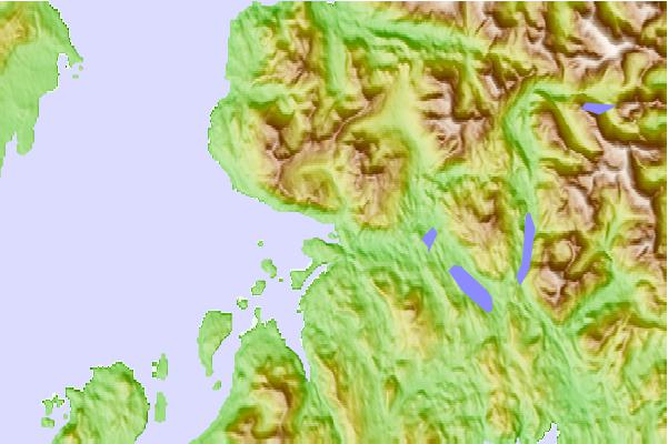
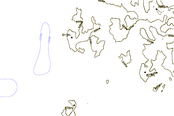
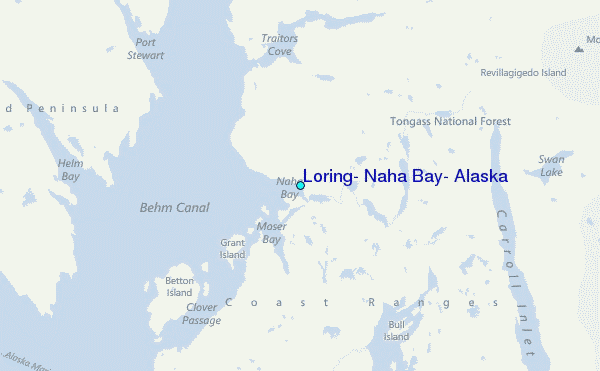
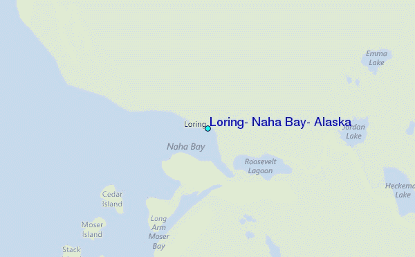
Use this relief map to navigate to tide stations, surf breaks and cities that are in the area of Loring, Naha Bay, Alaska.
Other Nearby Locations' tide tables and tide charts to Loring, Naha Bay, Alaska:
click location name for more details
 Surf breaks close to Loring, Naha Bay, Alaska:
|
||
|---|---|---|
| Closest surf break | Tow Hill Beach | 106 mi |
| Second closest surf break | Lepus Beach (Haida-Gwaii) | 114 mi |
| Third closest surf break | Cannon Beach | 404 mi |
| Fourth closest surf break | Graveyards | 408 mi |
| Fifth closest surf break | Ocean Cape | 409 mi |


 Nearest
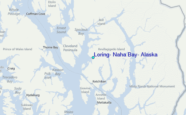