
| Distance / Altitude | Location | Report Date / Time | Live Weather | Wind | Gusts | Temp. | Visibility | Cloud |
|---|---|---|---|---|---|---|---|---|
| 10 km N / 8 m | Catalone (Canada) | 2024-04-24 20:41 local (2024/04/24 23:41 GMT) | dry | light winds from the WNW (10 km/h at 293) | 3°C | - | - - 0 | |
| 14 km SW / 7 m | Gabarus (Canada) | 2024-04-24 21:47 local (2024/04/25 00:47 GMT) | dry | calm (5 km/h at 239) | 3°C | - | - - 0 | |
| 23 km NNE / 13 m | Waddens Cove (Canada) | 2024-04-24 21:45 local (2024/04/25 00:45 GMT) | - | - (- km/h at ) | 2°C | - | - - 0 | |
| 25 km WSW / 15 m | Two Rivers Wildlife Park (Canada) | 2024-04-24 22:11 local (2024/04/25 01:11 GMT) | dry | calm (0 km/h at 238) | 3°C | - | - - 0 | |
| 30 km N / 62 m | Sydney (Nova Scotia) (Canada) | 2024-04-24 21:00 local (2024/04/25 00:00 GMT) | Dry and partly cloudy | light winds from the WNW (11 km/h at 300) | 2°C | 16 | broken broken broken |
| Contours: | Roads & Rivers: | Select a
tide station / surf break / city |
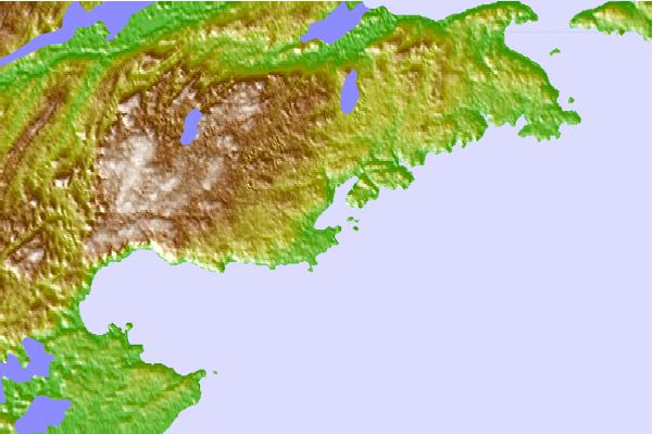
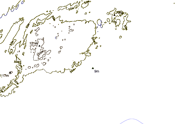
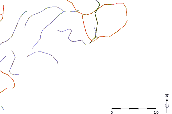
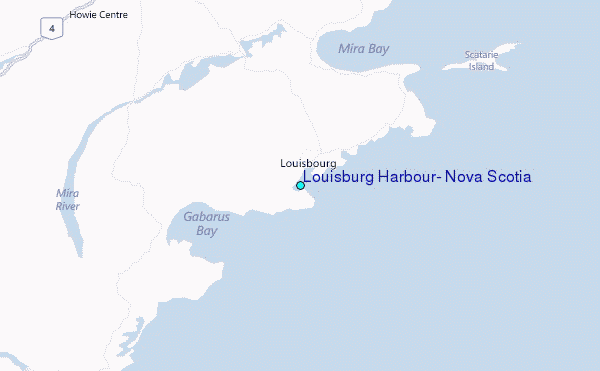
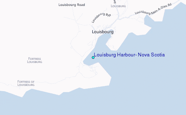
Use this relief map to navigate to tide stations, surf breaks and cities that are in the area of Louisburg Harbour, Nova Scotia.
Other Nearby Locations' tide tables and tide charts to Louisburg Harbour, Nova Scotia:
click location name for more details
 Surf breaks close to Louisburg Harbour, Nova Scotia:
|
||
|---|---|---|
| Closest surf break | Kennington Cove | 4 mi |
| Second closest surf break | Michaud Point | 41 mi |
| Third closest surf break | Ingonish Beach | 55 mi |
| Fourth closest surf break | Martinique | 176 mi |
| Fifth closest surf break | Lawrencetown Left Point | 185 mi |

 Nearest
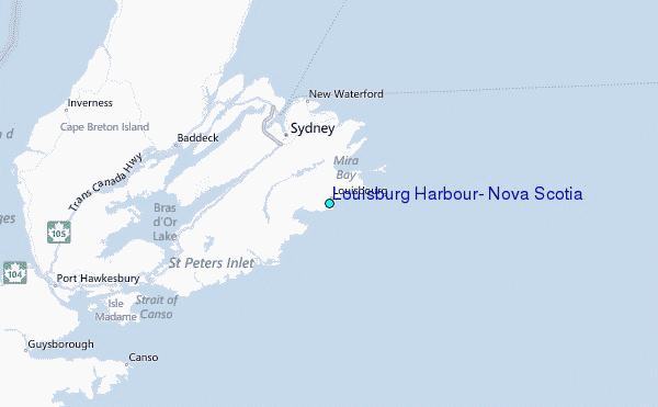