
| Distance / Altitude | Location | Report Date / Time | Live Weather | Wind | Gusts | Temp. | Visibility | Cloud |
|---|---|---|---|---|---|---|---|---|
| 41 km NE / 611 m | Malabo/Fernando Poo Airport (Equatorial Guinea) | 2024-04-20 13:00 local (2024/04/20 12:00 GMT) | - | light winds from the SW (15 km/h at 220) | 33°C | 30 km | few scattered - | |
| 143 km ENE / 209 m | Douala Airport (Cameroon) | 2024-04-20 12:00 local (2024/04/20 11:00 GMT) | Dry and partly cloudy | wind obs. (6 kph from 1 degs) was rejected (- km/h at -) | 31°C | 7.0 | scattered few few | |
| 190 km NW / 38 m | Uyo (Nigeria) | 2024-04-20 13:00 local (2024/04/20 12:00 GMT) | - | calm (4 km/h at 70) | 30°C | 30 km | mostly cloudy | |
| 221 km SE / 560 m | Bata(RioMuni) (Equatorial Guinea) | 2024-04-20 13:00 local (2024/04/20 12:00 GMT) | - | light winds from the WNW (11 km/h at 300) | 32°C | 30 km | scattered | |
| 222 km SE / 554 m | Bata Airport (Equatorial Guinea) | 2024-04-20 12:00 local (2024/04/20 11:00 GMT) | - | light winds from the NW (11 km/h at 310) | 31°C | 10.0 | few |
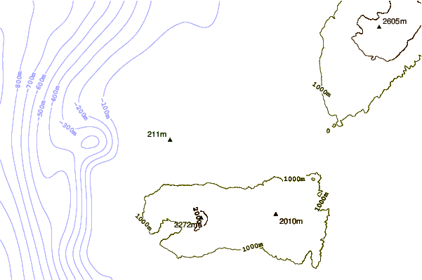
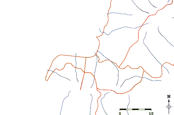
| Contours: | Roads & Rivers: | Select a
tide station / surf break / city |
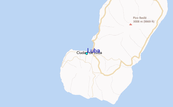
Use this relief map to navigate to tide stations, surf breaks and cities that are in the area of Luba.
Other Nearby Locations' tide tables and tide charts to Luba:
click location name for more details
 Surf breaks close to Luba:
|
||
|---|---|---|
| Closest surf break | Seme Beach Limbe | 56 mi |
| Second closest surf break | Kribi | 100 mi |
| Third closest surf break | Ferme aux Crocos | 209 mi |
| Fourth closest surf break | Gueque | 218 mi |
| Fifth closest surf break | Ngombe | 224 mi |

 Nearest
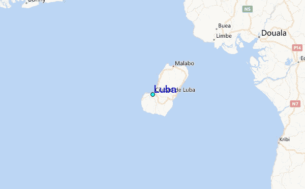