
| Distance / Altitude | Location | Report Date / Time | Live Weather | Wind | Gusts | Temp. | Visibility | Cloud |
|---|---|---|---|---|---|---|---|---|
| 21 km SW / 30 m | Negril (Jamaica) | 2024-04-16 12:10 local (2024/04/16 17:10 GMT) | dry | wind obs. (11 kph from 124 degs) was rejected (- km/h at -) | 31°C | - | - - 0 | |
| 27 km ENE / 193 m | Sangster/Montego Bay Airport (Jamaica) | 2024-04-16 11:00 local (2024/04/16 16:00 GMT) | - | fresh winds from the ENE (30 km/h at 60) | 30°C | 10.0 | few | |
| 60 km E / 3 m | SHIP1766 (Marine) | 2024-04-16 11:00 local (2024/04/16 16:00 GMT) | - (- km/h at -) | 29°C | - | |||
| 149 km E / 65 m | Annotto Bay (Jamaica) | 2024-04-16 12:18 local (2024/04/16 17:18 GMT) | dry | light winds from the E (14 km/h at 92) | 29°C | - | - - 0 | |
| 158 km ESE / 191 m | Kingston/Norman Manley International Airport (Jamaica) | 2024-04-16 11:00 local (2024/04/16 16:00 GMT) | - | light winds from the S (15 km/h at 190) | 30°C | 10.0 | few |
| Contours: | Roads & Rivers: | Select a
tide station / surf break / city |
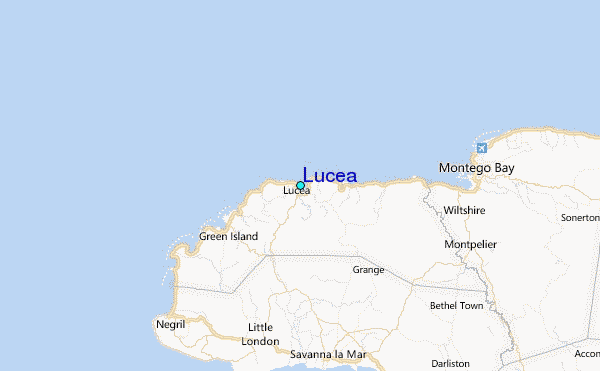
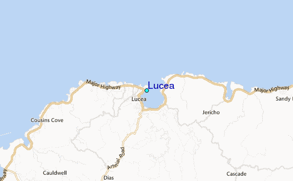
Use this relief map to navigate to tide stations, surf breaks and cities that are in the area of Lucea.
Other Nearby Locations' tide tables and tide charts to Lucea:
click location name for more details
 Surf breaks close to Lucea:
|
||
|---|---|---|
| Closest surf break | Discovery Bay | 50 mi |
| Second closest surf break | Runaway Bay | 55 mi |
| Third closest surf break | Lighthouse 2 | 98 mi |
| Fourth closest surf break | Peenie Wally | 101 mi |
| Fifth closest surf break | Zoo (Bull Bay) | 101 mi |

 Nearest
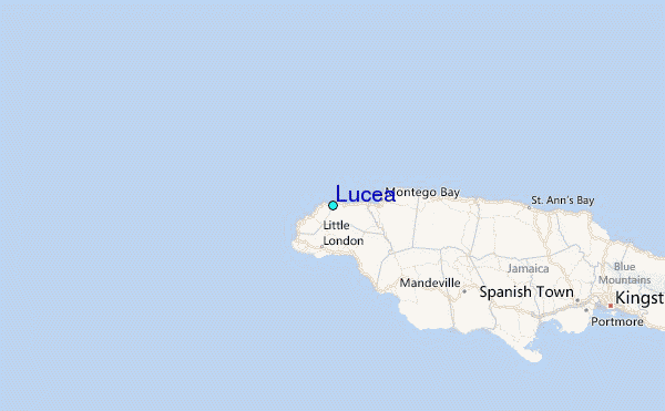